Old Maps of J and E Junction, Texas
Explore 10 old maps of J and E Junction, spanning from 1952 to today. These high-resolution historic maps reveal how streets, neighborhoods, landmarks, and natural features evolved over time — perfect for genealogy, metal detecting, research, and local history exploration.
What you can do with these maps:
- See how J and E Junction changed over time: Compare historical maps to modern-day views to trace roads, homesites, rail lines & more.
- View detailed metadata: Each map includes creators, publishers, year, scale, and archive source.
- Overlay maps with satellite & LiDAR: Visualize the past alongside modern tools to explore terrain & human change.
- Trusted historical sources: Maps sourced from the USGS, Library of Congress, and other archives.
- Access maps your way: View online, download high-res files, or order prints for personal or research use.
Start exploring old maps of J and E Junction to uncover forgotten places, hidden landmarks, and the deep history beneath your feet.
J and E Junction, TX maps
(10)- 1952 Map of Lake Charles
 1952 Lake Charles1952 Print · USGSSouthwest Louisiana is captured here in the mid-fifties, showing a landscape defined by the rise of the petrochemical industry and deep-water navigation. Researchers can trace family roots through numerous small-town settlements and oil developments like Nibletts Bluff, the Lockport Oil Field, and Starks.
 - 1954 Map of Lake Charles, 1964 Print
 1954 Lake Charles1964 Print · USGSSouthwest Louisiana in the mid-fifties is defined by its massive petroleum industry and its complex network of bayous and rail lines. Researchers can trace the development of the Sulphur Mines Oil Field or locate historic settlements like Longville and De Quincy.3 unique versions available
 - 1958 Map of Kirbyville, 1960 Print
 1958 Kirbyville1960 Print · USGSJasper and Newton counties in the late fifties show a landscape of timber-driven growth and rural community centers. Genealogists can trace family landmarks like Wilson Cem, Lewis Chapel, and several local schools from Bon Ami to Salem.2 unique versions available
 - 1984 Map of Kirbyville, 1985 Print
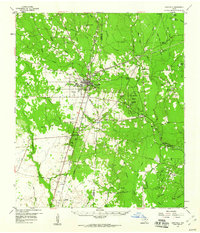
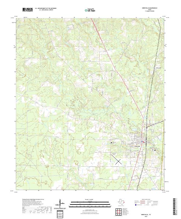
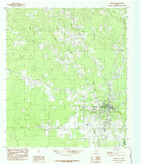 1984 Kirbyville1985 Print · USGSKirbyville and the pine-covered borders of Jasper and Newton counties come into focus during the mid-eighties. Genealogists and local historians can trace the town grid and nearby rural landmarks like Bon Ami, Kirbyville Airport, and the winding Trout Creek.
 - 1986 Map of DeRidder
 1986 DeRidder1986 Print · USGSThe Louisiana-Texas borderlands come to life in the mid-eighties, showcasing the timber country and rail corridors of the Sabine River valley. Researchers can trace the legacy of small communities and transit lines through Merryville, Holly Springs, and the Missouri Pacific railroad.2 unique versions available
 - 2010 Map of Kirbyville, 2010 Print
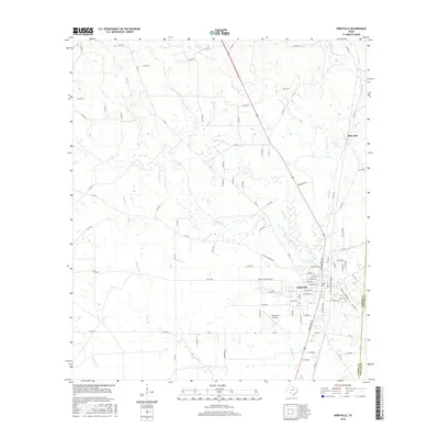
 2010 Kirbyville2010 Print · USGSCovers J and E Junction, including Kirbyville, Bon Ami, and other nearby areas
 - 2012 Map of Kirbyville, 2012 Print
 2012 Kirbyville2012 Print · USGSCovers J and E Junction, including Kirbyville, Bon Ami, and other nearby areas
 - 2016 Map of Kirbyville, 2016 Print
 2016 Kirbyville2016 Print · USGSCovers J and E Junction, including Kirbyville, Bon Ami, and other nearby areas
 - 2019 Map of Kirbyville, 2019 Print
 2019 Kirbyville2019 Print · USGSCovers J and E Junction, including Kirbyville, Bon Ami, and other nearby areas
 - 2022 Map of Kirbyville, 2022 Print
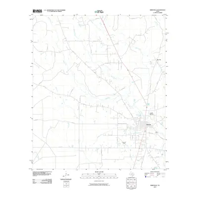
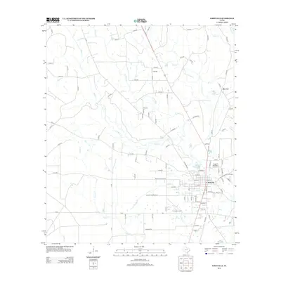
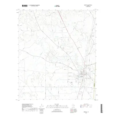
 2022 Kirbyville2022 Print · USGSKirbyville and the nearby settlement of Bon Ami are shown here in the early twenty-first century, surrounded by a complex network of East Texas creeks. Researchers can trace local lineage at West Greenlawn Cem or follow the waters of Boggy Cr and Robinson Br.
End of results
Showing maps 1-10 of 10
Top cities near J and E Junction
Frequently asked questions
- What are the different types of historical maps available for J and E Junction?
- What is the oldest map of J and E Junction?
- Where can I purchase historical maps of J and E Junction for my home or office?
- Where can I download high-res historical maps of J and E Junction?
- Are there historical topographic maps available for J and E Junction?
- Is there historical aerial imagery available for J and E Junction?
- Where are historical maps of J and E Junction sourced from?