Old Maps of Cedar Grove, Texas
Explore 10 old maps of Cedar Grove, spanning from 1954 to today. These high-resolution historic maps reveal how streets, neighborhoods, landmarks, and natural features evolved over time — perfect for genealogy, metal detecting, research, and local history exploration.
What you can do with these maps:
- See how Cedar Grove changed over time: Compare historical maps to modern-day views to trace roads, homesites, rail lines & more.
- View detailed metadata: Each map includes creators, publishers, year, scale, and archive source.
- Overlay maps with satellite & LiDAR: Visualize the past alongside modern tools to explore terrain & human change.
- Trusted historical sources: Maps sourced from the USGS, Library of Congress, and other archives.
- Access maps your way: View online, download high-res files, or order prints for personal or research use.
Start exploring old maps of Cedar Grove to uncover forgotten places, hidden landmarks, and the deep history beneath your feet.
Cedar Grove, TX maps
(10)- 1954 Map of Dallas, 1963 Print
 1954 Dallas1963 Print · USGSNorth Texas in the mid-fifties and early sixties reveals a landscape of rapid urban growth and water management. Genealogists and historians can trace the evolution of the metroplex through landmarks like Hensley Field, Boles Orphan Home, and the Texas & Pacific RR.4 unique versions available
 - 1956 Map of Quinlan, 1957 Print
 1956 Quinlan1957 Print · USGSNortheast Texas at the height of the post-war era is depicted here through its network of small crossroads communities and family farms. Researchers can trace rural lineages through local landmarks like Union Valley Sch, the Boys Home (Orphanage), and the Masonic Cem near Quinlan.3 unique versions available
 - 1958 Map of Dallas
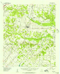
 1958 Dallas1958 Print · USGSNorth Texas in the late fifties shows the dramatic expansion of the Metroplex as it absorbs surrounding farm towns. Genealogists and historians can trace old rail lines like the Missouri-Kansas-Texas and locate early lakefront developments at Eagle Mountain Lake and Lake Worth Village.
 - 1979 Map of Ables Springs, 1987 Print
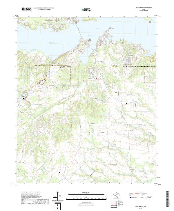
 1979 Ables Springs1987 Print · USGSThe rural borderlands of Kaufman and Van Zandt counties are shown here in the late seventies as the shoreline of Lake Tawakoni shaped the region. Researchers can trace old family burial sites like White Prairie Cem and the small settlements of Ables Springs and Alsa.
 - 1986 Map of Dallas
 1986 Dallas1986 Print · USGSThe North Texas metropolitan landscape comes into focus during the mid-eighties as urban growth expands toward the eastern reservoirs. Researchers can trace historic cemeteries like Oak Cliff Cem, rail corridors of the Texas & Pacific RR, and landmarks such as Southern Methodist University.3 unique versions available
 - 2011 Map of Ables Springs, 2011 Print
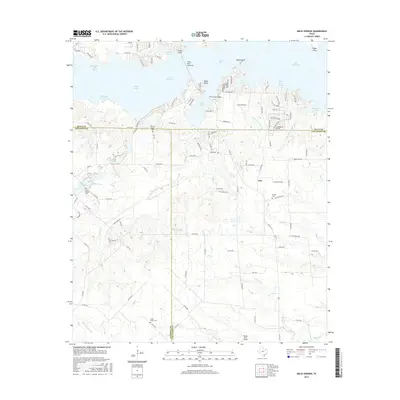
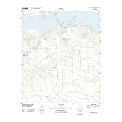 2011 Ables Springs2011 Print · USGSCovers Cedar Grove, including Alsa, McCoy, and other nearby areas
 - 2012 Map of Ables Springs, 2012 Print
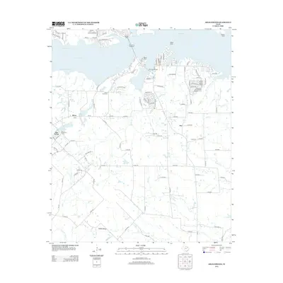 2012 Ables Springs2012 Print · USGSCovers Cedar Grove, including Alsa, McCoy, and other nearby areas
 - 2016 Map of Ables Springs, 2016 Print
 2016 Ables Springs2016 Print · USGSCovers Cedar Grove, including Alsa, McCoy, and other nearby areas
 - 2019 Map of Ables Springs, 2019 Print
 2019 Ables Springs2019 Print · USGSCovers Cedar Grove, including Alsa, McCoy, and other nearby areas
 - 2022 Map of Ables Springs, 2022 Print
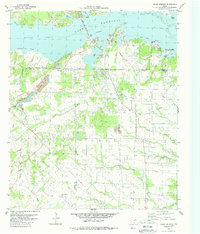
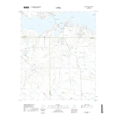
 2022 Ables Springs2022 Print · USGSThe intersection of Hunt, Kaufman, and Van Zandt Counties is defined here by the extensive northern shoreline of Lake Tawakoni. Genealogists and local researchers can locate several rural burial grounds like Ables Springs Cem and Whites Prairie Cem near the old crossroads of Alsa.
End of results
Showing maps 1-10 of 10
Top cities near Cedar Grove
- Terrell historical maps
- Royse City historical maps
- Kaufman historical maps
- Wills Point historical maps
- Canton historical maps
- West Tawakoni historical maps
See more
Frequently asked questions
- What are the different types of historical maps available for Cedar Grove?
- What is the oldest map of Cedar Grove?
- Where can I purchase historical maps of Cedar Grove for my home or office?
- Where can I download high-res historical maps of Cedar Grove?
- Are there historical topographic maps available for Cedar Grove?
- Is there historical aerial imagery available for Cedar Grove?
- Where are historical maps of Cedar Grove sourced from?