Old Maps of Mifflin, Texas
Explore 13 old maps of Mifflin, spanning from 1928 to today. These high-resolution historic maps reveal how streets, neighborhoods, landmarks, and natural features evolved over time — perfect for genealogy, metal detecting, research, and local history exploration.
What you can do with these maps:
- See how Mifflin changed over time: Compare historical maps to modern-day views to trace roads, homesites, rail lines & more.
- View detailed metadata: Each map includes creators, publishers, year, scale, and archive source.
- Overlay maps with satellite & LiDAR: Visualize the past alongside modern tools to explore terrain & human change.
- Trusted historical sources: Maps sourced from the USGS, Library of Congress, and other archives.
- Access maps your way: View online, download high-res files, or order prints for personal or research use.
Start exploring old maps of Mifflin to uncover forgotten places, hidden landmarks, and the deep history beneath your feet.
Mifflin, TX maps
(13)- 1928 Map of Sarita
 1928 Sarita1928 Print · USGSSouth Texas ranching country and the coastal prairies are shown here during the early twentieth century. Researchers can trace family-named holdings like Kennedy Farm, ranch outposts at Novillos Mott, and rail sidings at Mifflin.
 - 1950 Map of Corpus Christi, 1953 Print
 1950 Corpus Christi1953 Print · USGSThe South Texas coast comes into focus during the early fifties, showing the interplay between booming oil fields and expansive ranching operations. Genealogists and historians can trace the Texas Mexican rail line through Kingsville or locate heritage sites like Chapman Ranch and Riviera Beach.
 - 1954 Map of Sarita, 1956 Print
 1954 Sarita1956 Print · USGSThe ranching heart of South Texas comes into focus in the mid-1950s, centered on the railroad town of Sarita. Researchers can trace the massive cattle estates of the era, including La Paloma Ranch, and follow the Missouri Pacific line through landmarks like Turcotte.
 - 1956 Map of Corpus Christi
 1956 Corpus Christi1956 Print · USGSThe South Texas coast and the burgeoning port of Corpus Christi are captured here during the mid-fifties. Genealogists and historians can trace the rail-and-oil economy through labels like Robstown Airpark, Chapman Ranch, and the Missouri Pacific railroad.
 - 1960 Map of Corpus Christi
 1960 Corpus Christi1960 Print · USGSCoastal South Texas and the Nueces County hinterlands are detailed in this mid-century survey. Genealogists and historians can trace early settlement patterns and rural landmarks like Casa Blanca during a period of steady regional growth.
 - 1966 Map of Corpus Christi
 1966 Corpus Christi1966 Print · USGSThe Texas Coastal Bend in the mid-1960s reveals a landscape where massive cattle empires and strategic military bases meet the Gulf. Trace the vast reaches of King Ranch or locate aviation history at the Corpus Christi Air Station and Kingsville Air Station.
 - 1984 Map of Baffin Bay
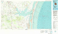 1984 Baffin Bay1984 Print · USGSThe South Texas coast near Kingsville and the Kenedy County line comes into focus in the mid-1980s. Genealogists and historians can locate family landmarks like Chamberlain Cem, the community of Vattmannville, and the extensive grounds of La Parra Ranch.
 - 1989 Map of Corpus Christi, 1991 Print
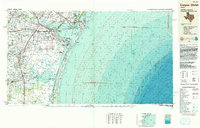 1989 Corpus Christi1991 Print · USGSCoastal South Texas and its deep bays are captured here in the late eighties, showcasing a landscape of military aviation and barrier island preservation. Researchers can trace family roots in Petronila or Vattmannville and locate landmarks like Cabaniss Field and Baffin.
 - 2010 Map of Turcotte, 2010 Print
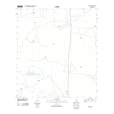 2010 Turcotte2010 Print · USGSCoastal Kenedy County ranchlands are captured here in the early twenty-first century, showcasing a landscape where water and distance define the geography. Genealogists and historians can map out the distribution of named ranching landmarks like Atravasada Windmill, Allen Windmill, and the waters of Los Finados Lake.
 - 2013 Map of Turcotte, 2013 Print
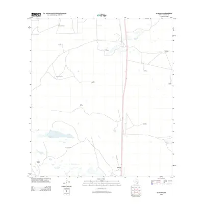 2013 Turcotte2013 Print · USGSThe Kenedy County ranchlands are captured here in the early twenty-first century, showing the critical water infrastructure of the South Texas plains. Researchers can locate named landmarks and ranch features like Turcotte, Los Finados Lake, and the Corta Sacate Windmill.
 - 2016 Map of Turcotte, 2016 Print
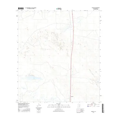 2016 Turcotte2016 Print · USGSCoastal prairie and ranchlands define this Kenedy County landscape during the mid-2010s. Researchers can trace the sparse settlement at Turcotte and locate the low-lying basins of Los Finados Lake and Cayo Grande along the primary corridor of Highway 77.
 - 2019 Map of Turcotte, 2019 Print
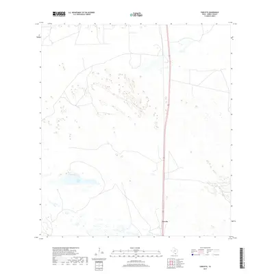 2019 Turcotte2019 Print · USGSDeep in South Texas ranch country during the late 2010s, this survey reveals a landscape of vast open space and coastal hydrology. Researchers can trace the path of Highway 77 as it passes near Turcotte and the waters of Los Finados Lake.
 - 2022 Map of Turcotte, 2022 Print
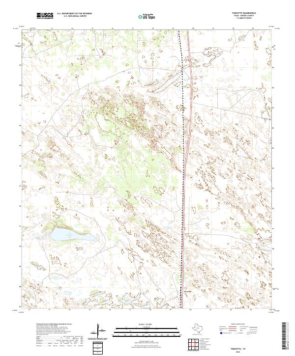 2022 Turcotte2022 Print · USGSCoastal Texas ranching country remains sparsely settled in this modern survey of Kenedy County. Genealogists and land researchers can trace the area around Turcotte and locate natural water features such as Los Finados Lake along the Route 77 corridor.
End of results
Showing maps 1-13 of 13
Frequently asked questions
- What are the different types of historical maps available for Mifflin?
- What is the oldest map of Mifflin?
- Where can I purchase historical maps of Mifflin for my home or office?
- Where can I download high-res historical maps of Mifflin?
- Are there historical topographic maps available for Mifflin?
- Is there historical aerial imagery available for Mifflin?
- Where are historical maps of Mifflin sourced from?