Old Maps of Stowers Corner Windmill, Texas for Academic Research
Study the evolution of Stowers Corner Windmill with 10 high-resolution historic maps. Whether you're teaching, researching, or modeling changes in land use, these maps provide essential visual documentation of urban, environmental, and geographic change.
- Analyze long-term change: Track patterns in development, transportation, and natural features.
- Ideal for environmental or urban studies: Support academic projects with primary historical map data.
- Use in the classroom or lab: Educators and researchers rely on these maps to bring historical context to life.
These maps are a powerful tool for teaching, research, and visualizing how Stowers Corner Windmill has changed over the decades.
Stowers Corner Windmill, TX maps
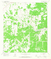
(10)- 1954 Map of Llano, 1964 Print
 1954 Llano1964 Print · USGSThe Texas Hill Country and Highland Lakes appear in the mid-fifties, just as new reservoirs began reshaping the landscape. Trace ranching history and river routes from Mason to Llano, or follow the Gulf Colorado and Santa Fe RR past Buchanan Lake.2 unique versions available
 - 1955 Map of Llano
 1955 Llano1955 Print · USGSCentral Texas and the Hill Country are seen here during the mid-1950s growth of the Highland Lakes. Trace old settlements and geologic landmarks from Enchanted Rock and Longhorn Cavern to the small community of Luckenbach.
 - 1956 Map of Llano, 1976 Print
 1956 Llano1976 Print · USGSThe Texas Hill Country comes alive in this mid-seventies survey of the Llano Uplift and Colorado River lakes. Genealogists and historians can trace family roots through settlements like Luckenbach and Castell or locate the famed L B J Ranch and Enchanted Rock.
 - 1964 Map of Boneyard Draw, 1966 Print
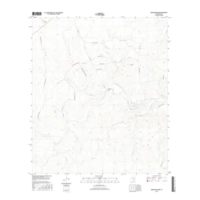
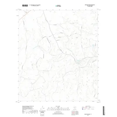
 1964 Boneyard Draw1966 Print · USGSThe Texas Hill Country in the mid-sixties reveals a landscape of isolated cattle ranches and early conservation efforts. Genealogists and local historians can trace family-named landmarks like Benson Ranch, the Divide Sch, and numerous working wells including the Sampson Windmill.2 unique versions available
 - 1985 Map of Kerrville
 1985 Kerrville1985 Print · USGSThe Texas Hill Country comes into focus in the mid-eighties as a landscape of ranching roads and river headwaters. Trace the historic sites of Old Noxville, the remote Garven Store, and the early campus of Schreiner College.2 unique versions available
 - 2010 Map of Boneyard Draw, 2010 Print
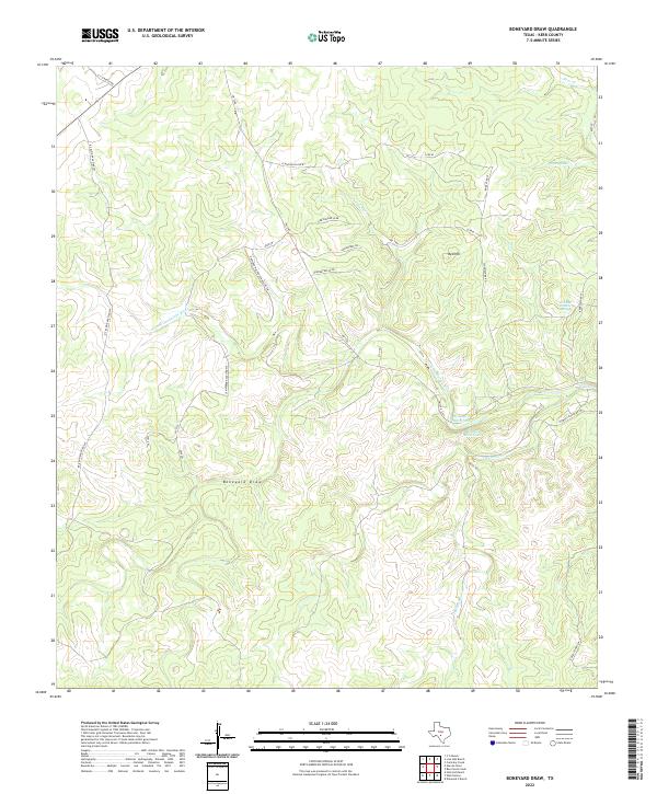
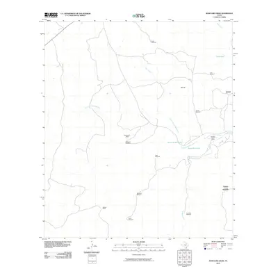 2010 Boneyard Draw2010 Print · USGSCovers Stowers Corner Windmill, including Kerr County, United States, and other nearby areas
 - 2013 Map of Boneyard Draw, 2013 Print
 2013 Boneyard Draw2013 Print · USGSCovers Stowers Corner Windmill, including Kerr County, United States, and other nearby areas
 - 2016 Map of Boneyard Draw, 2016 Print
 2016 Boneyard Draw2016 Print · USGSCovers Stowers Corner Windmill, including Kerr County, United States, and other nearby areas
 - 2019 Map of Boneyard Draw, 2019 Print
 2019 Boneyard Draw2019 Print · USGSCovers Stowers Corner Windmill, including Kerr County, United States, and other nearby areas
 - 2022 Map of Boneyard Draw, 2022 Print
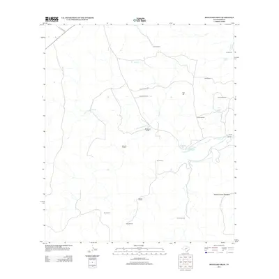
 2022 Boneyard Draw2022 Print · USGSKerr County ranch lands are captured here in the early twenty-first century as they border the upper Guadalupe. Trace local family history and land boundaries along B F Klein Ranch Rd SW or find water sources like Fish and Wildlife Springs.
End of results
Showing maps 1-10 of 10
Frequently asked questions
- What are the different types of historical maps available for Stowers Corner Windmill?
- What is the oldest map of Stowers Corner Windmill?
- Where can I purchase historical maps of Stowers Corner Windmill for my home or office?
- Where can I download high-res historical maps of Stowers Corner Windmill?
- Are there historical topographic maps available for Stowers Corner Windmill?
- Is there historical aerial imagery available for Stowers Corner Windmill?
- Where are historical maps of Stowers Corner Windmill sourced from?