Old Maps of Buck Hollow, Texas for Hiking & Exploration
Hike through history with 11 historic maps of Buck Hollow. Explore old trails, ghost towns, and forgotten backroads — perfect for outdoor adventurers and local explorers.
- Rediscover forgotten places: Map out old mining camps, roads, and footpaths that no longer exist on modern maps.
- Layer with modern tools: Combine with LiDAR or satellite views to plan hikes through historical terrain.
- Made for exploration: Popular among hikers, overlanders, and local history lovers.
Use these maps to find adventure and explore the hidden past of Buck Hollow.
Buck Hollow, TX maps
(11)- 1893 Map of Rock Springs
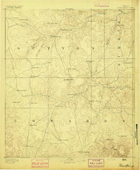 1893 Rock Springs1893 Print · USGSThe Edwards Plateau in the early 1890s was a remote ranching frontier defined by isolated outposts and limestone river breaks. Researchers can locate early family holdings such as Marsh & Taylor's Ranch and landmarks like the Devils Sink Hole.5 unique versions available
 - 1954 Map of Sonora, 1965 Print
 1954 Sonora1965 Print · USGSThe Edwards Plateau and West Texas ranching country come alive in this mid-century survey of the canyons and plateaus. Genealogists and historians can trace the remote settlements of Pandale and Loma Alta or follow the path of the Panhandle and Santa Fe RR.2 unique versions available
 - 1958 Map of Sonora
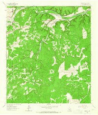
 1958 Sonora1958 Print · USGSThe Edwards Plateau and Trans-Pecos region come alive in the late fifties, showing a landscape of remote ranchlands and historic frontier outposts. Trace the legacy of Fort Lancaster Ruins, the limestone depths of Devils Sinkhole Cavern, and the path of the Pecos River.
 - 1962 Map of Roosevelt, 1966 Print
 1962 Roosevelt1966 Print · USGSThe Texas Hill Country ranching landscape comes into focus during the early sixties, centered on the settlement of Roosevelt. Genealogists and historians can trace family landholdings like Maynard Ranch and Wilson Place along the banks of the North Llano River.2 unique versions available
 - 1985 Map of Rocksprings, 1986 Print
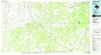 1985 Rocksprings1986 Print · USGSThe Edwards Plateau in the mid-1980s is captured here at the junction of four counties, centered on the settlement of Rocksprings. Geologists and local historians can trace the network of drainage draws and subterranean features like Felton Cave, Word Cave, and the path of the Devils River.
 - 1993 Map of Rocksprings
 1993 Rocksprings1993 Print · USGSThe Edwards Plateau ranching country is captured here in the early nineties, centered on the high-elevation hub of Rocksprings. Genealogists and local historians can trace the paths of the Old Spanish Road and the intricate draws like Tenmile Draw or Dragoo Hollow.
 - 2010 Map of Roosevelt, 2010 Print
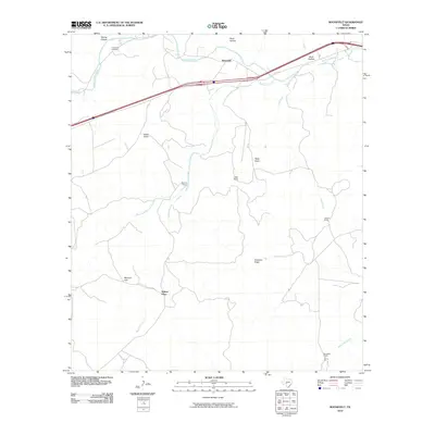 2010 Roosevelt2010 Print · USGSCovers Buck Hollow, including Wilson Place, Roosevelt, and other nearby areas
 - 2012 Map of Roosevelt, 2012 Print
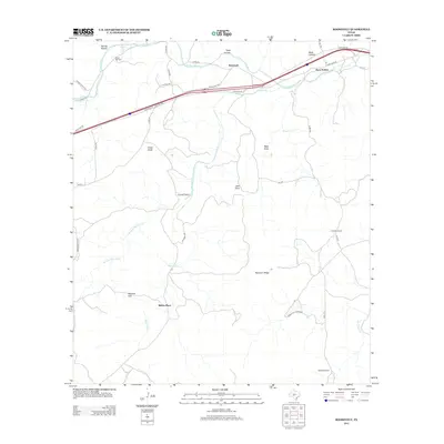 2012 Roosevelt2012 Print · USGSCovers Buck Hollow, including Wilson Place, Roosevelt, and other nearby areas
 - 2016 Map of Roosevelt, 2016 Print
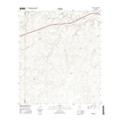 2016 Roosevelt2016 Print · USGSCovers Buck Hollow, including Wilson Place, Roosevelt, and other nearby areas
 - 2019 Map of Roosevelt, 2019 Print
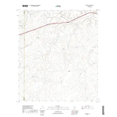 2019 Roosevelt2019 Print · USGSCovers Buck Hollow, including Wilson Place, Roosevelt, and other nearby areas
 - 2022 Map of Roosevelt, 2022 Print
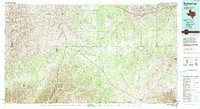
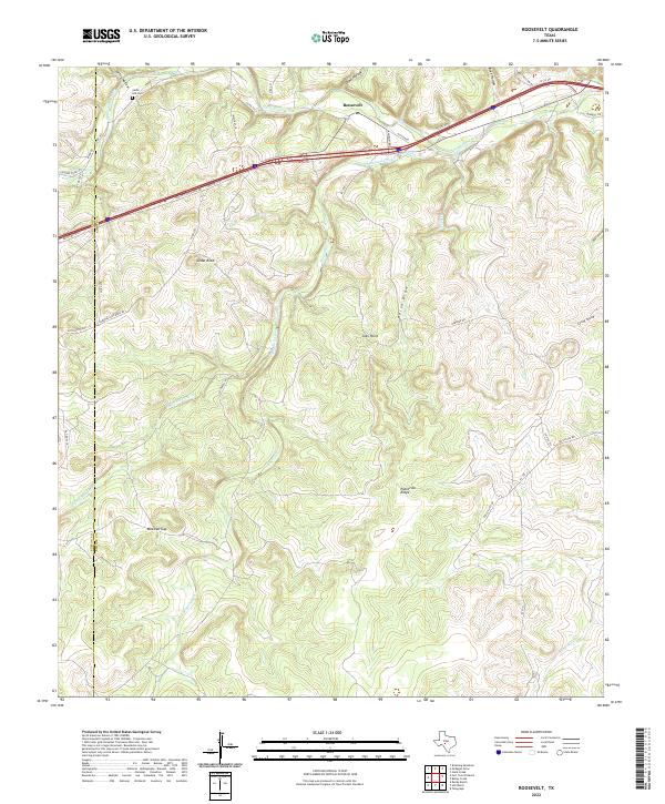 2022 Roosevelt2022 Print · USGSThe Texas Hill Country near Roosevelt is documented here in the early 2020s, showing a landscape of deep draws and high ridges. Researchers can locate Cedar Hill Cem and trace the winding paths of the North Llano River and Maynard Creek.
End of results
Showing maps 1-11 of 11
Frequently asked questions
- What are the different types of historical maps available for Buck Hollow?
- What is the oldest map of Buck Hollow?
- Where can I purchase historical maps of Buck Hollow for my home or office?
- Where can I download high-res historical maps of Buck Hollow?
- Are there historical topographic maps available for Buck Hollow?
- Is there historical aerial imagery available for Buck Hollow?
- Where are historical maps of Buck Hollow sourced from?