
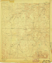
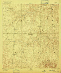
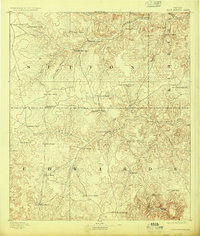
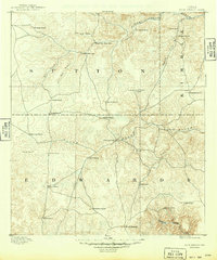
1893 Map of Rock Springs
USGS Topo · Published 1893About this map
The Rock Springs settlement anchors this 1890s survey of the Edwards Plateau, where the headwaters of the North Llano River and South Llano River carve through the limestone landscape of Sutton, Kimble, and Edwards counties. This era reveals a pastoral economy defined by widely scattered family ranching outposts rather than established towns. Genealogists can trace the early locations of several dozen properties, including Marsh & Taylor's Ranch, Hegermans Ranch, and Patterson Ranch.
Find a feature on this map
36 named features on this map. Tap any name to fly to it.
Don’t see what you’re looking for? This feature index may not catch every label — zoom into the map to look around manually.
Map Details
Editions of this 1893 Rock Springs Map
5 editions found
Other maps of this area

1893 · Fort McKavett
USGS Topo · 1:125,000

1893 · Nueces
USGS Topo · 1:125,000

1896 · Nueces
USGS Topo · 1:125,000

1926 · Segovia 2-c
USGS Topo · 1:48,000

1932 · Junction
USGS Topo · 1:62,500

1943 · Carta Valley
USGS Topo · 1:62,500

1944 · Indian Creek
USGS Topo · 1:62,500

1947 · Hackberry
USGS Topo · 1:62,500

1954 · Llano
USGS Topo · 1:250,000

1954 · San Antonio
USGS Topo · 1:250,000