Loading...
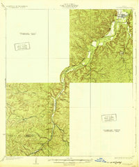
Loading map...1932 Map of Junction
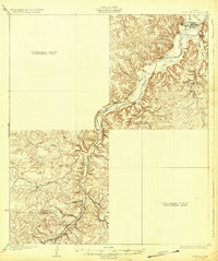
USGS Topo · Published 1932About this map
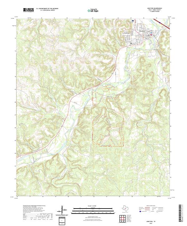
Junction sits at the confluence of the North Fk and the South Fork Llano River, serving as the primary hub of this 1932 preliminary survey. Large swaths of the terrain are noted as Preliminary Edition Unsurveyed Area, reflecting the transition from raw Hill Country frontier to a more established road and water infrastructure. Along the winding river valleys, early rural life is anchored by schools like Evergreen Sch and Paint Rock Sch, while State Highway 27 provides a critical link following the river's path.
Find a feature on this map
19 named features on this map. Tap any name to fly to it.
Don’t see what you’re looking for? This feature index may not catch every label — zoom into the map to look around manually.
Map Details
Date Portrayed1932
Date Published1932
PublisherU.S. Geological Survey
Map TypeTopographic
Scale1:62,500
Physical Dimensions16.6 x 19.9 inches
Editions of this 1932 Junction Map
2 editions found
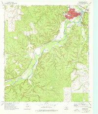
Historical Maps of Junction Through Time
7 maps found
Featured Locations
Source Details
SourceU.S. Geological Survey
CopyrightPublic Domain