Old Maps of Junction, Texas
Explore 24 old maps of Junction, spanning from 1932 to today. These high-resolution historic maps reveal how streets, neighborhoods, landmarks, and natural features evolved over time — perfect for genealogy, metal detecting, research, and local history exploration.
What you can do with these maps:
- See how Junction changed over time: Compare historical maps to modern-day views to trace roads, homesites, rail lines & more.
- View detailed metadata: Each map includes creators, publishers, year, scale, and archive source.
- Overlay maps with satellite & LiDAR: Visualize the past alongside modern tools to explore terrain & human change.
- Trusted historical sources: Maps sourced from the USGS, Library of Congress, and other archives.
- Access maps your way: View online, download high-res files, or order prints for personal or research use.
Start exploring old maps of Junction to uncover forgotten places, hidden landmarks, and the deep history beneath your feet.
Junction, TX maps
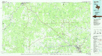
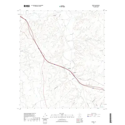
(24)- 1932 Map of Junction
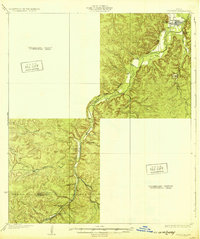 1932 Junction1932 Print · USGSJunction and the surrounding Hill Country are captured in the early thirties as the local road network began to formalize. Genealogists and researchers can trace the locations of Evergreen Sch, Paint Rock Sch, and the riverside settlement of Telegraph.2 unique versions available
 - 1954 Map of Llano, 1964 Print
 1954 Llano1964 Print · USGSThe Texas Hill Country and Highland Lakes appear in the mid-fifties, just as new reservoirs began reshaping the landscape. Trace ranching history and river routes from Mason to Llano, or follow the Gulf Colorado and Santa Fe RR past Buchanan Lake.2 unique versions available
 - 1955 Map of Llano
 1955 Llano1955 Print · USGSCentral Texas and the Hill Country are seen here during the mid-1950s growth of the Highland Lakes. Trace old settlements and geologic landmarks from Enchanted Rock and Longhorn Cavern to the small community of Luckenbach.
 - 1956 Map of Llano, 1976 Print
 1956 Llano1976 Print · USGSThe Texas Hill Country comes alive in this mid-seventies survey of the Llano Uplift and Colorado River lakes. Genealogists and historians can trace family roots through settlements like Luckenbach and Castell or locate the famed L B J Ranch and Enchanted Rock.
 - 1970 Map of Elm Slough, 1973 Print
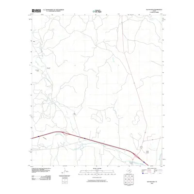
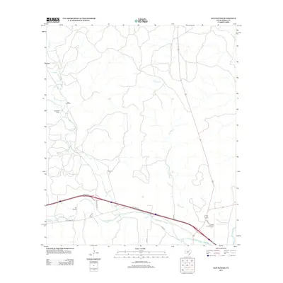
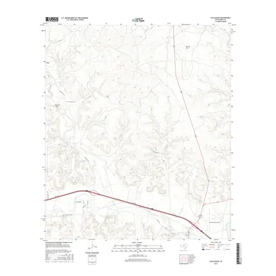
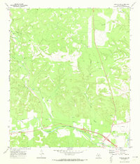 1970 Elm Slough1973 Print · USGSThe Llano River valley in Kimble County is captured here in the early 1970s as ranching and new infrastructure meet. Researchers can locate family landmarks like the Bear Creek Cem and Bolt Ranch alongside the County Airport.2 unique versions available
 - 1974 Map of Junction, 1977 Print
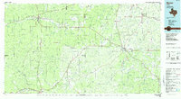
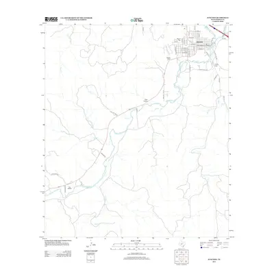
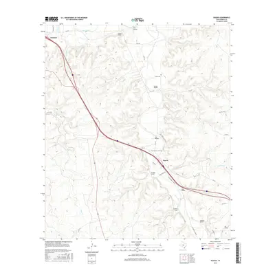
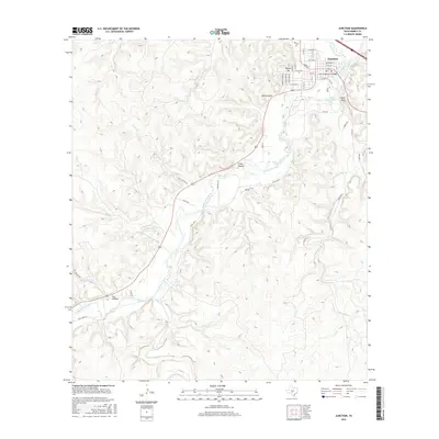
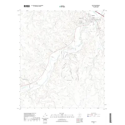
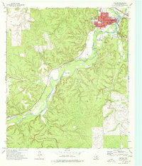 1974 Junction1977 Print · USGSThe confluence of the Llano rivers in the 1970s reveals a growing community centered around the Junction townsite and its riverbanks. Researchers can trace the mid-century footprint of the Texas Tech University Center, find local landmarks like Lovers Leap, and locate the Cem near the city center.
 - 1974 Map of Segovia, 1977 Print
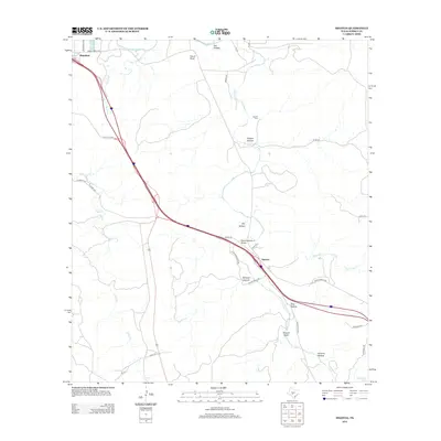
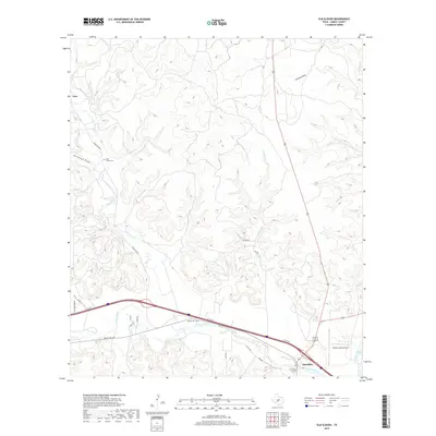
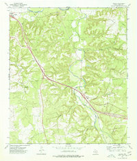 1974 Segovia1977 Print · USGSKimble County in the mid-1970s shows a landscape of deep canyons and evolving roads as the modern highway began to bypass traditional routes. Genealogists and local historians can trace family-named sites like Schrier Cem, Nethery, and the Old Segovia Road.
 - 1985 Map of Kerrville
 1985 Kerrville1985 Print · USGSThe Texas Hill Country comes into focus in the mid-eighties as a landscape of ranching roads and river headwaters. Trace the historic sites of Old Noxville, the remote Garven Store, and the early campus of Schreiner College.2 unique versions available
 - 1985 Map of Mason
 1985 Mason1985 Print · USGSMason and Menard counties in the 1980s showcase a landscape defined by the rugged Mason Mountains and the winding San Saba River. Researchers can trace old community lines and landmarks from the County Airport to the rural outposts of London and Fredonia.2 unique versions available
 - 2010 Map of Segovia, 2010 Print
 2010 Segovia2010 Print · USGSCovers Junction, including Segovia, Kimble County, and other nearby areas
 - 2010 Map of Junction, 2010 Print
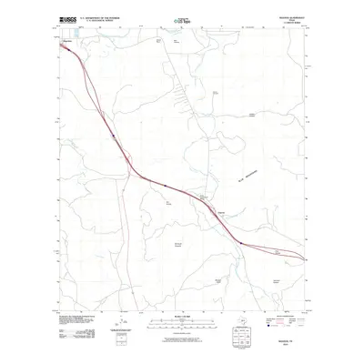
 2010 Junction2010 Print · USGSCovers Junction, including Kimble County, United States, and other nearby areas
 - 2010 Map of Elm Slough, 2010 Print
 2010 Elm Slough2010 Print · USGSCovers Junction, including Kimble County, United States, and other nearby areas
 - 2012 Map of Junction, 2012 Print
 2012 Junction2012 Print · USGSCovers Junction, including Kimble County, United States, and other nearby areas
 - 2012 Map of Elm Slough, 2012 Print
 2012 Elm Slough2012 Print · USGSCovers Junction, including Kimble County, United States, and other nearby areas
 - 2012 Map of Segovia, 2012 Print
 2012 Segovia2012 Print · USGSCovers Junction, including Segovia, Kimble County, and other nearby areas
 - 2016 Map of Segovia, 2016 Print
 2016 Segovia2016 Print · USGSCovers Junction, including Segovia, Kimble County, and other nearby areas
 - 2016 Map of Elm Slough, 2016 Print
 2016 Elm Slough2016 Print · USGSCovers Junction, including Kimble County, United States, and other nearby areas
 - 2016 Map of Junction, 2016 Print
 2016 Junction2016 Print · USGSCovers Junction, including Kimble County, United States, and other nearby areas
 - 2019 Map of Elm Slough, 2019 Print
 2019 Elm Slough2019 Print · USGSCovers Junction, including Kimble County, United States, and other nearby areas
 - 2019 Map of Segovia, 2019 Print
 2019 Segovia2019 Print · USGSCovers Junction, including Segovia, Kimble County, and other nearby areas
 - 2019 Map of Junction, 2019 Print
 2019 Junction2019 Print · USGSCovers Junction, including Kimble County, United States, and other nearby areas
 - 2022 Map of Segovia, 2022 Print
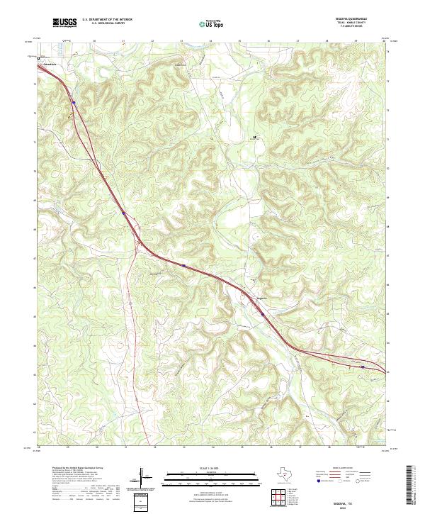 2022 Segovia2022 Print · USGSKimble County's high-divide country is documented in this recent survey, showing the intricate drainages of the Llano River and Johnson Fork. Researchers can locate historic rural burial grounds like Schrier Cem and trace old local routes including Old Segovia-Wiles Rd.
 - 2022 Map of Junction, 2022 Print
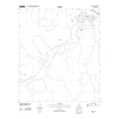
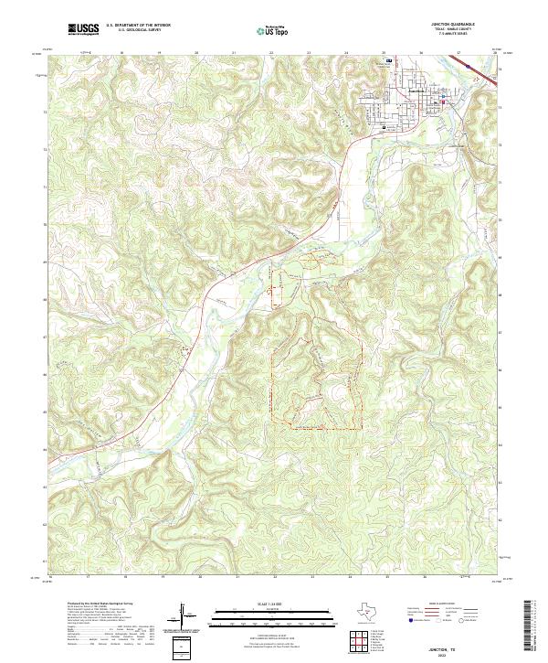 2022 Junction2022 Print · USGSThe confluence of the Llano River forks defines this Kimble County community during the early twenty-first century. Researchers can trace town history at the Kimble County Courthouse or explore the wilderness trails of South Llano River State Park.
 - 2022 Map of Elm Slough, 2022 Print
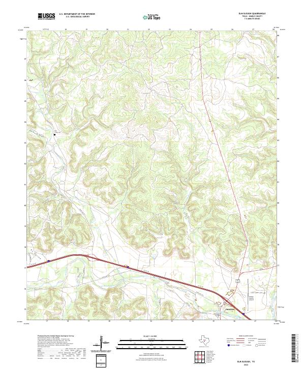 2022 Elm Slough2022 Print · USGSKimble County at the start of the 2020s shows a landscape where high-speed transit and ancient river bends meet. Trace family history at Bear Creek Cem or follow the water through Elm Slough and the winding North Llano River.
End of results
Showing maps 1-24 of 24
Frequently asked questions
- What are the different types of historical maps available for Junction?
- What is the oldest map of Junction?
- Where can I purchase historical maps of Junction for my home or office?
- Where can I download high-res historical maps of Junction?
- Are there historical topographic maps available for Junction?
- Is there historical aerial imagery available for Junction?
- Where are historical maps of Junction sourced from?