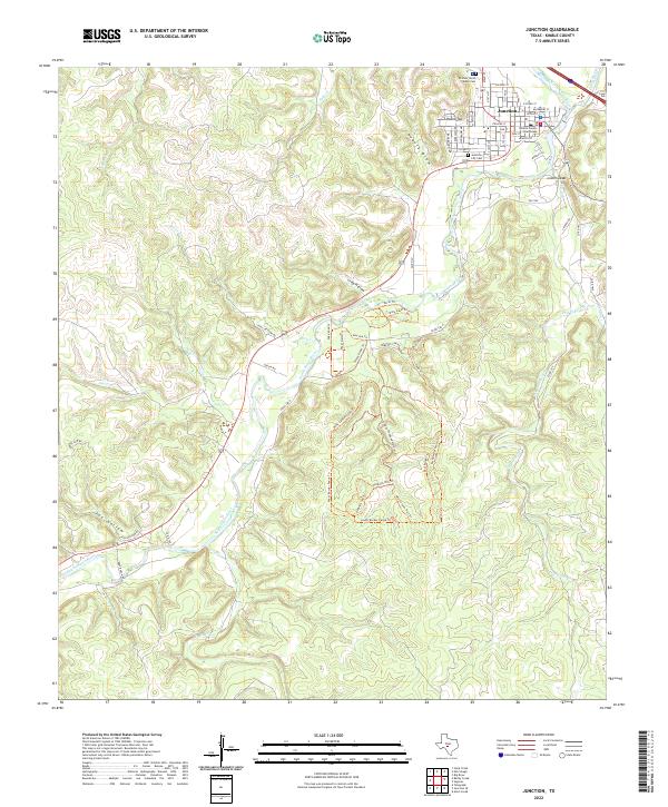
2022 Map of Junction
USGS Topo · Published 2022About this map
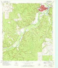
The Kimble County Courthouse stands as the center of Junction at the confluence of the North Llano River and the South Llano River. This 2022 survey documents the town's grid, featuring streets named after local flora such as Pecan St, Hackberry St, and Agarita St. To the south, the extensive trail system of South Llano River State Park winds through the hills and draws, with notable paths like the Golden-Cheeked Warbler Trl and West Canyon Loop Trl following the complex topography of the Edwards Plateau.
Find a feature on this map
60 named features on this map. Tap any name to fly to it.
Don’t see what you’re looking for? This feature index may not catch every label — zoom into the map to look around manually.
Map Details
Editions of this 2022 Junction Map
This is the sole edition of this map. No revisions or reprints were ever made.
Other maps of this area

1926 · Segovia 2-c
USGS Topo · 1:48,000

1932 · Junction
USGS Topo · 1:62,500

1954 · Llano
USGS Topo · 1:250,000

1955 · Llano
USGS Topo · 1:250,000

1956 · Llano
USGS Topo · 1:250,000

1970 · Elm Slough
USGS Topo · 1:24,000
1970 · Stark Creek
USGS Topo · 1:24,000
1970 · Big Draw
USGS Topo · 1:24,000
1974 · Telegraph
USGS Topo · 1:24,000
1974 · Junction
USGS Topo · 1:24,000