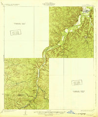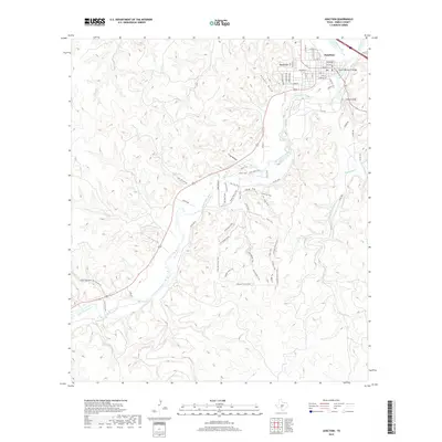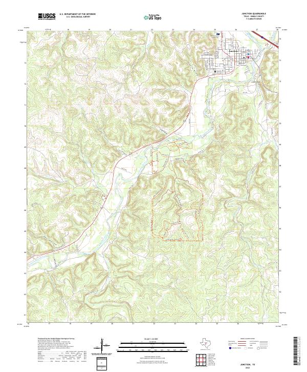
1974 Map of Junction
USGS Topo · Published 1977About this map
Junction sits at the convergence of the Llano River and the South Llano River, serving as a centralized hub for this portion of Kimble County in the mid-1970s. The town's grid is well-defined by streets such as Main St and Llano St, while essential community landmarks like Kimble Hospital, the Texas Tech University Center, and multiple radio towers including Radio Tower (KMBL) are documented. Beyond the corporate boundary, the landscape is defined by its drainages, where Kountz Draw and Potter Creek feed into the river system. Notable topographical features like Round Top and the overlook at Lovers Leap provide vertical relief against the winding riverbanks. The map also records early energy development through various labeled Wells and Gas Wells, indicating the region's transitioning economy and land use during this period.
Find a feature on this map
38 named features on this map. Tap any name to fly to it.
Don’t see what you’re looking for? This feature index may not catch every label — zoom into the map to look around manually.
Map Details
Editions of this 1974 Junction Map
This is the sole edition of this map. No revisions or reprints were ever made.
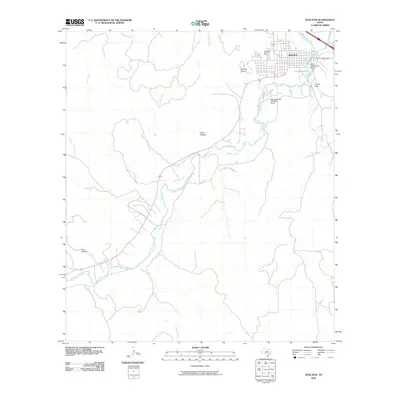
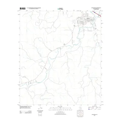
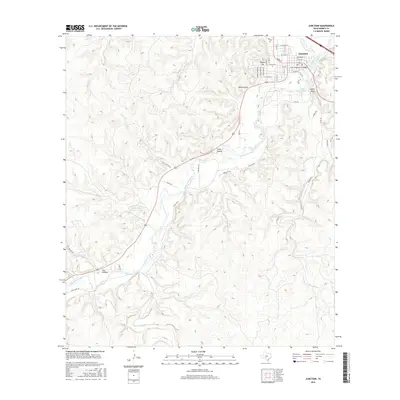
Historical Maps of Junction Through Time
7 maps found