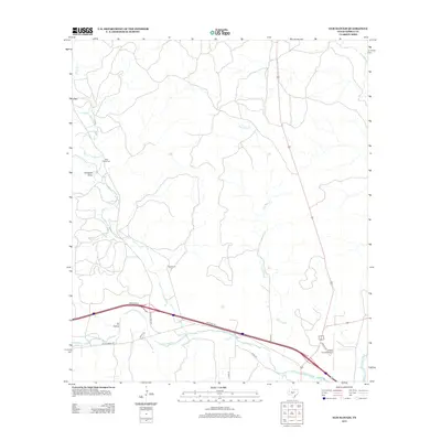
2012 Map of Elm Slough
USGS Topo · Published 2012About this map
Cleo and the rural ranching tracts of western Kimble County characterize this landscape where the Texas Hill Country meets the Edwards Plateau. The terrain is deeply defined by the drainage of Bear Cr and the intermittent path of Elm Slough, which flow southward toward the N Llano River. Cultural history is anchored at the Bear Creek Cem and established local landmarks like Bolt Ranch. In the southern portion of the sheet, modern transportation corridors and regional infrastructure are evident where Interstate 10 meets Ranch Road 1674 and Ranch Road 2291, facilitating access to the Kimble County Airport near the confluence where the north fork joins the main Llano River.
Find a feature on this map
20 named features on this map. Tap any name to fly to it.
Don’t see what you’re looking for? This feature index may not catch every label — zoom into the map to look around manually.
Map Details
Editions of this 2012 Elm Slough Map
This is the sole edition of this map. No revisions or reprints were ever made.
Other maps of this area
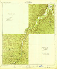
1932 · Junction
USGS Topo · 1:62,500
1954 · Llano
USGS Topo · 1:250,000
1955 · Llano
USGS Topo · 1:250,000
1956 · Llano
USGS Topo · 1:250,000
1970 · Julio Draw
USGS Topo · 1:24,000
1970 · Rust Ranch
USGS Topo · 1:24,000
1970 · Brewer Hollow
USGS Topo · 1:24,000
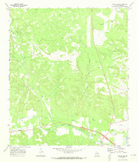
1970 · Elm Slough
USGS Topo · 1:24,000
1970 · Stark Creek
USGS Topo · 1:24,000
1970 · Big Draw
USGS Topo · 1:24,000