
1970 Map of Julio Draw
USGS Topo · Published 1973About this map
The boundary between Menard Co and Kimble Co cuts across this high plains terrain, where deep drainage draws and intermittent creeks define the West Texas landscape. At the start of the 1970s, the area remained largely ranch land, anchored by the Baker Ranch and a remote network of infrastructure including a Pumping Station and Water Tank.
Find a feature on this map
23 named features on this map. Tap any name to fly to it.
Don’t see what you’re looking for? This feature index may not catch every label — zoom into the map to look around manually.
Map Details
Editions of this 1970 Julio Draw Map
This is the sole edition of this map. No revisions or reprints were ever made.
Other maps of this area

1954 · Llano
USGS Topo · 1:250,000

1955 · Llano
USGS Topo · 1:250,000

1956 · Llano
USGS Topo · 1:250,000

1970 · San Augustine Draw
USGS Topo · 1:24,000
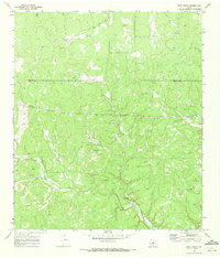
1970 · Rust Ranch
USGS Topo · 1:24,000

1970 · Brewer Hollow
USGS Topo · 1:24,000

1970 · Elm Slough
USGS Topo · 1:24,000

1970 · East Elm Creek
USGS Topo · 1:24,000
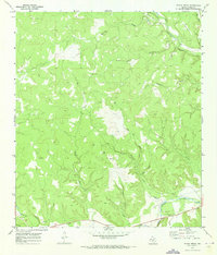
1970 · Stark Creek
USGS Topo · 1:24,000
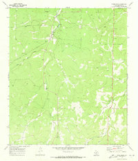
1970 · Spoon Draw
USGS Topo · 1:24,000