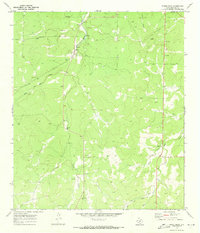
1970 Map of Spoon Draw
USGS Topo · Published 1973About this map
Las Moras Creek and its tributary West Las Moras Creek carve through this portion of Menard County, defining a landscape of complex drainage patterns and scattered water resources. Surveyed in 1969 and 1970, the map illustrates the critical infrastructure of West Texas ranching, where isolated landmarks like Tenmile Well and the Water Tank near the northern boundary serve as vital reference points in the open terrain. The topography is further marked by numerous limestone or aggregate extractions, simply labeled as Gravel Pit, and local heights such as Leggett. Several major seasonal drainages, including Harris Hollow, Elm Draw, and Cole Draw, converge here, reflecting the erosion patterns typical of the Edwards Plateau during this era of rural land management.
Find a feature on this map
9 named features on this map. Tap any name to fly to it.
Don’t see what you’re looking for? This feature index may not catch every label — zoom into the map to look around manually.
Map Details
Editions of this 1970 Spoon Draw Map
This is the sole edition of this map. No revisions or reprints were ever made.
Other maps of this area

1954 · Llano
USGS Topo · 1:250,000

1955 · Llano
USGS Topo · 1:250,000

1956 · Llano
USGS Topo · 1:250,000

1970 · Clear Creek Lake
USGS Topo · 1:24,000

1970 · San Augustine Draw
USGS Topo · 1:24,000

1970 · Julio Draw
USGS Topo · 1:24,000
1970 · Rust Ranch
USGS Topo · 1:24,000

1970 · Brewer Hollow
USGS Topo · 1:24,000

1970 · East Elm Creek
USGS Topo · 1:24,000
1970 · Chapman Draw
USGS Topo · 1:24,000