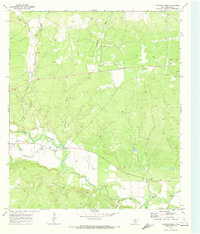
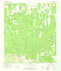
1970 Map of Chapman Draw
USGS Topo · Published 1973About this map
The San Saba River snakes through this Central Texas landscape, defining the local hydrology and agricultural potential in the early 1970s. This survey by the U.S. Geological Survey illustrates the critical importance of water management in the region, specifically through the Menard Irrigation Company Canal, which diverts water to sustain local fields. Transportation and topographic movement are anchored by the Atchison Topeka and Santa Fe railroad corridor, which follows the natural level of the East Scalp Creek valley.
Find a feature on this map
15 named features on this map. Tap any name to fly to it.
Don’t see what you’re looking for? This feature index may not catch every label — zoom into the map to look around manually.
Map Details
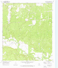
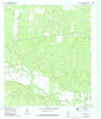
Editions of this 1970 Chapman Draw Map
Other maps of this area

1892 · Eden
USGS Topo · 1:125,000

1896 · Eden
USGS Topo · 1:125,000

1954 · Brownwood
USGS Topo · 1:250,000

1954 · Llano
USGS Topo · 1:250,000

1955 · Llano
USGS Topo · 1:250,000

1956 · Llano
USGS Topo · 1:250,000

1970 · Callan
USGS Topo · 1:24,000
1970 · Needle Creek
USGS Topo · 1:24,000

1970 · East Elm Creek
USGS Topo · 1:24,000
1970 · Hext
USGS Topo · 1:24,000