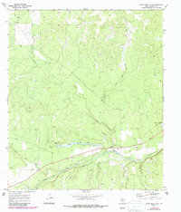
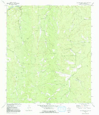
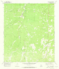
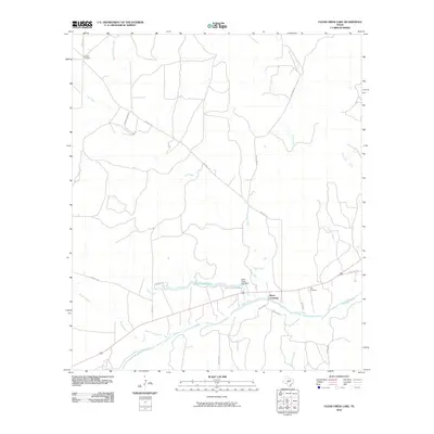
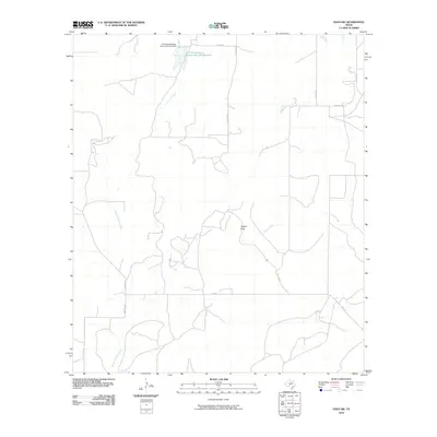
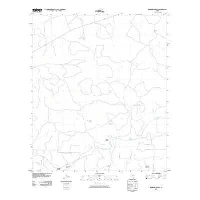
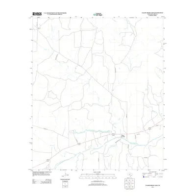
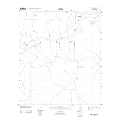
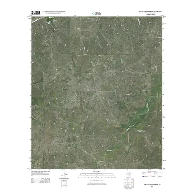
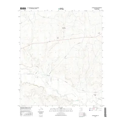
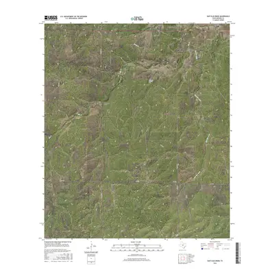
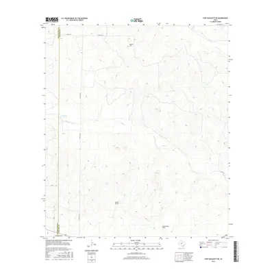
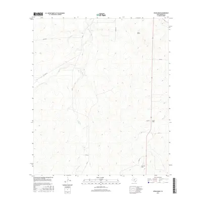
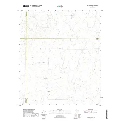
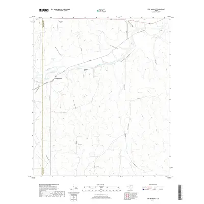
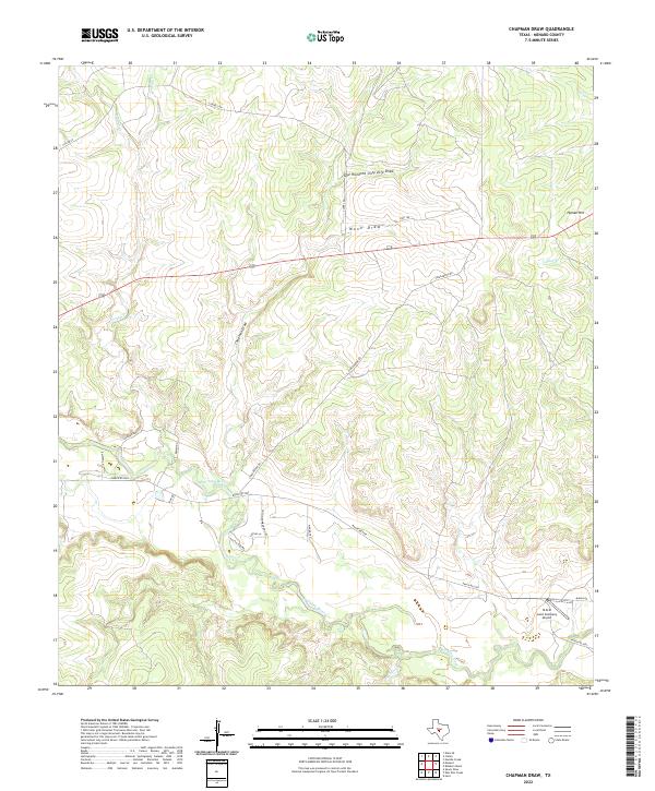
1970 Map of Chapman Draw
USGS Topo · Published 1987About this map
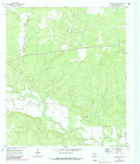
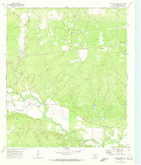
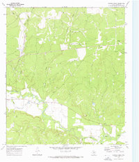
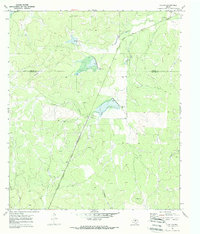
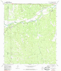
The San Saba River meanders through this Menard County landscape, defining the local geography alongside the Menard Irrigation Company Canal. This 1970s-era survey, updated in the late 1980s, highlights the essential role of water management in this part of Texas, where the canal system parallels the river's course to support agricultural efforts. Traditional river access points are clearly marked at Fivemile Crossing and Tenmile Crossing, indicating established routes for local travel across the water.
Find a feature on this map
13 named features on this map. Tap any name to fly to it.
Don’t see what you’re looking for? This feature index may not catch every label — zoom into the map to look around manually.
Map Details
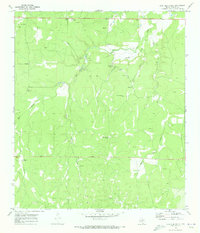
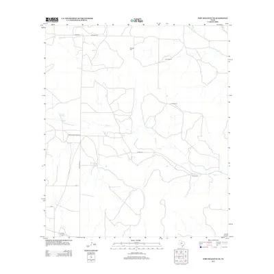
Editions of this 1970 Chapman Draw Map
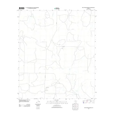
Historical Maps of Tenmile Crossing Through Time
78 maps found
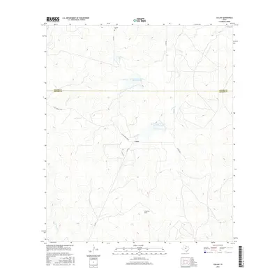
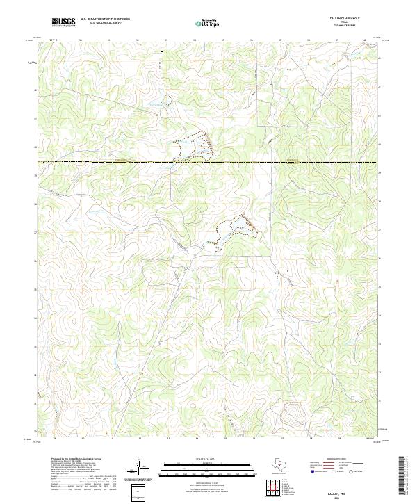
1970 Callan
Menard County, TX
1970 Chapman Draw
Menard County, TX
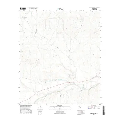
1970 Clear Creek Lake
Menard County, TX

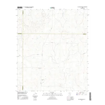
1970 Del Venado Ranch
Menard County, TX
1970 East Elm Creek
Menard County, TX
1970 Eden SE
Menard County, TX
1970 Eden SW
Menard County, TX
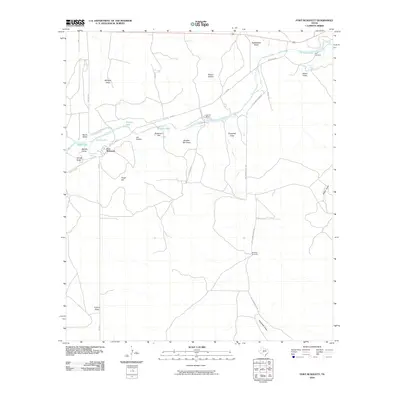
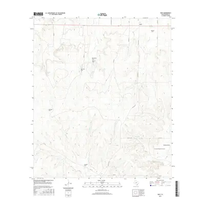
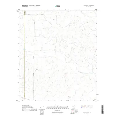
1970 Fort McKavett
Menard County, TX
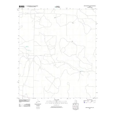
1970 Fort McKavett NE
Menard County, TX
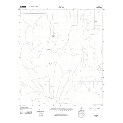
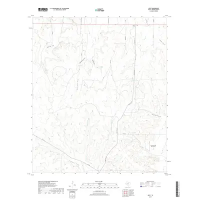
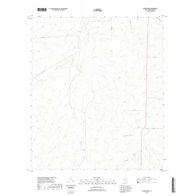
1970 Hext
Menard County, TX
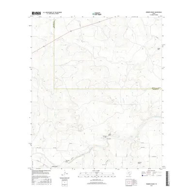
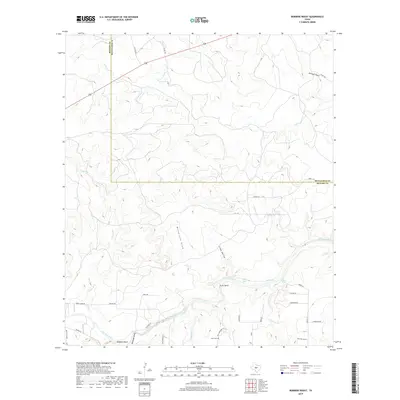
1970 Robbers Roost
Menard County, TX
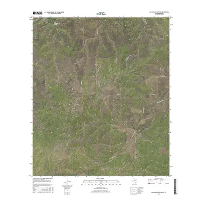
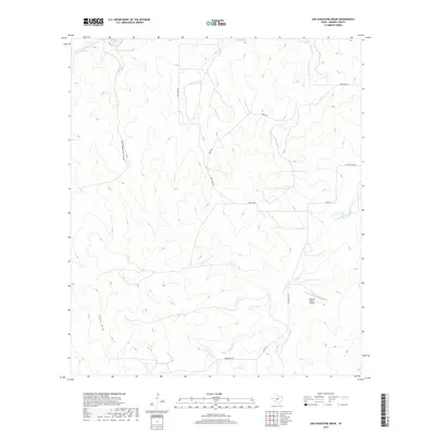
1970 San Augustine Draw
Menard County, TX
1970 Spoon Draw
Menard County, TX
2010 Callan
Menard County, TX
2010 Chapman Draw
Menard County, TX
2010 Clear Creek Lake
Menard County, TX
2010 Del Venado Ranch
Menard County, TX
2010 East Elm Creek
Menard County, TX
2010 Eden SE
Menard County, TX
2010 Eden SW
Menard County, TX
2010 Fort McKavett
Menard County, TX
2010 Fort McKavett NE
Menard County, TX
2010 Hext
Menard County, TX
2010 Robbers Roost
Menard County, TX
2010 San Augustine Draw
Menard County, TX
2010 Spoon Draw
Menard County, TX
2012 Chapman Draw
Menard County, TX
2012 Clear Creek Lake
Menard County, TX
2012 Del Venado Ranch
Menard County, TX
2012 East Elm Creek
Menard County, TX
2012 Eden SW
Menard County, TX
2012 Fort McKavett
Menard County, TX
2012 Fort McKavett NE
Menard County, TX
2012 Hext
Menard County, TX
2012 Robbers Roost
Menard County, TX
2012 San Augustine Draw
Menard County, TX
2012 Spoon Draw
Menard County, TX
2013 Callan
Menard County, TX
2013 Eden SE
Menard County, TX
2016 Callan
Menard County, TX
2016 Chapman Draw
Menard County, TX
2016 Clear Creek Lake
Menard County, TX
2016 Del Venado Ranch
Menard County, TX
2016 East Elm Creek
Menard County, TX
2016 Eden SE
Menard County, TX
2016 Eden SW
Menard County, TX
2016 Fort McKavett
Menard County, TX
2016 Fort McKavett NE
Menard County, TX
2016 Hext
Menard County, TX
2016 Robbers Roost
Menard County, TX
2016 San Augustine Draw
Menard County, TX
2016 Spoon Draw
Menard County, TX
2019 Callan
Menard County, TX
2019 Chapman Draw
Menard County, TX
2019 Clear Creek Lake
Menard County, TX
2019 Del Venado Ranch
Menard County, TX
2019 East Elm Creek
Menard County, TX
2019 Eden SE
Menard County, TX
2019 Eden SW
Menard County, TX
2019 Fort McKavett
Menard County, TX
2019 Fort McKavett NE
Menard County, TX
2019 Hext
Menard County, TX
2019 Robbers Roost
Menard County, TX
2019 San Augustine Draw
Menard County, TX
2019 Spoon Draw
Menard County, TX
2022 Callan
Menard County, TX
2022 Chapman Draw
Menard County, TX
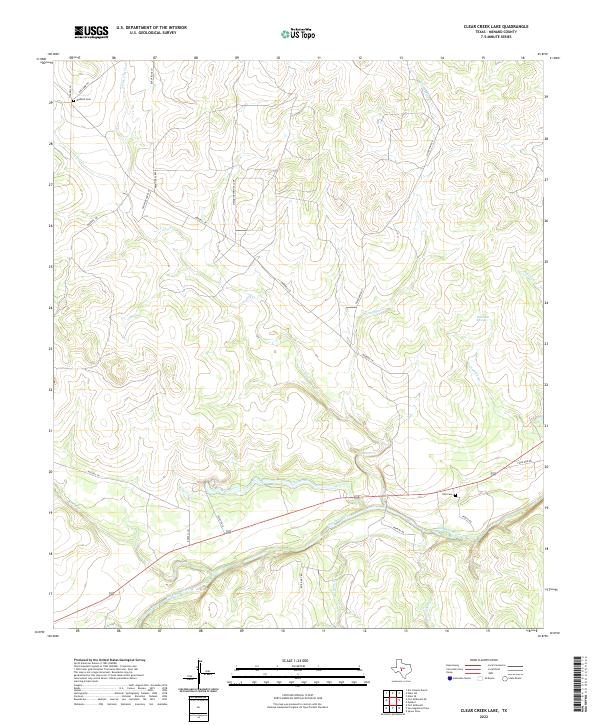
2022 Clear Creek Lake
Menard County, TX
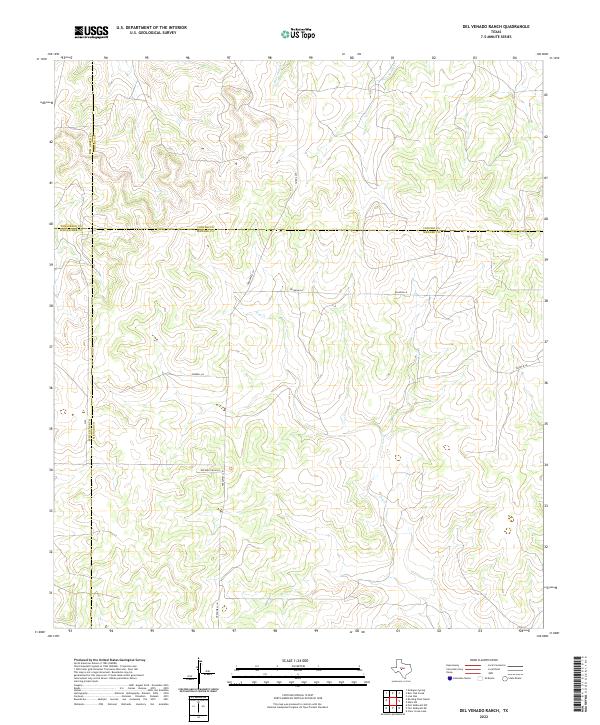
2022 Del Venado Ranch
Menard County, TX
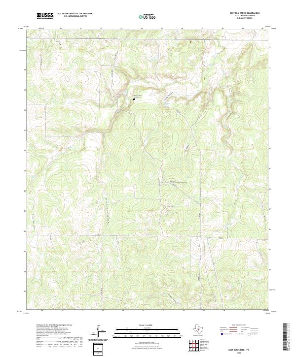
2022 East Elm Creek
Menard County, TX
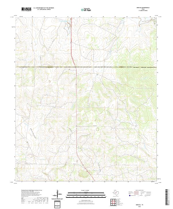
2022 Eden SE
Menard County, TX
2022 Eden SW
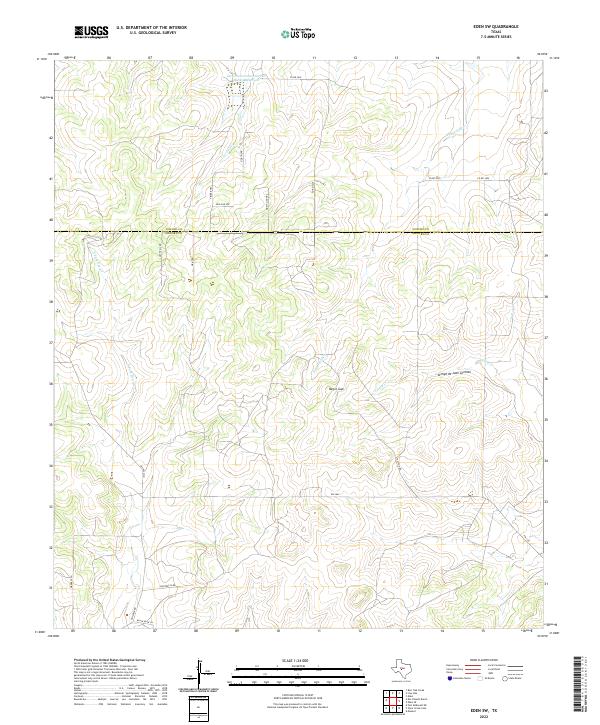
Menard County, TX
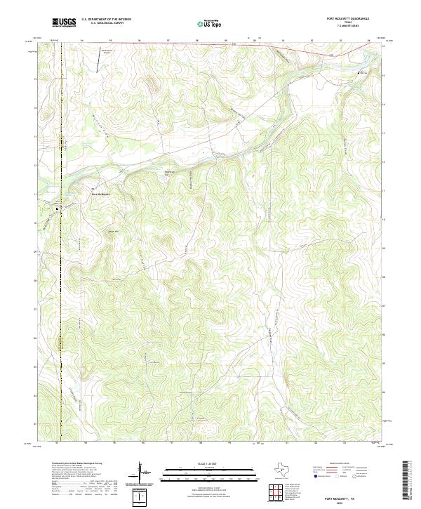
2022 Fort McKavett
Menard County, TX
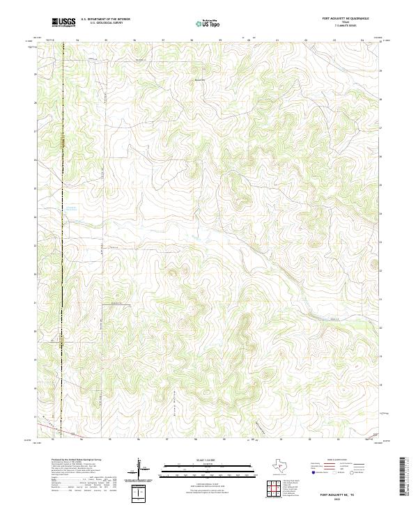
2022 Fort McKavett NE
Menard County, TX
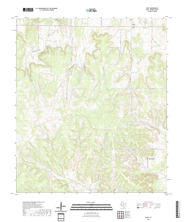
2022 Hext
Menard County, TX
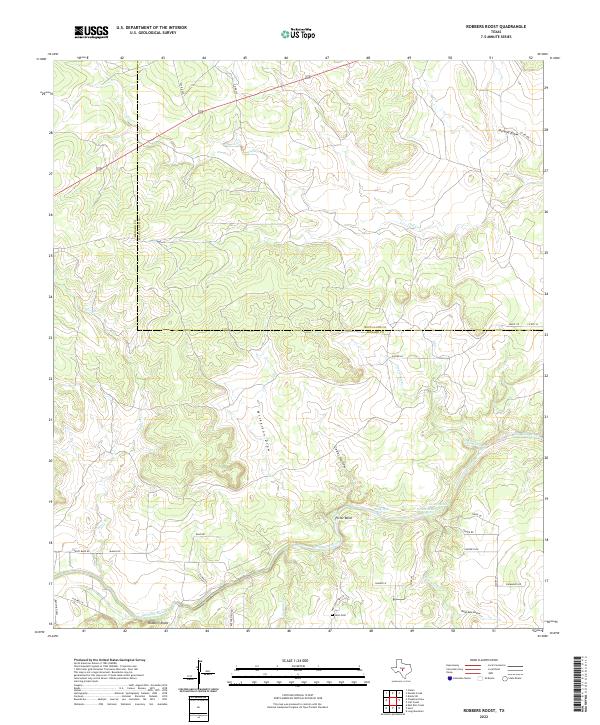
2022 Robbers Roost
Menard County, TX
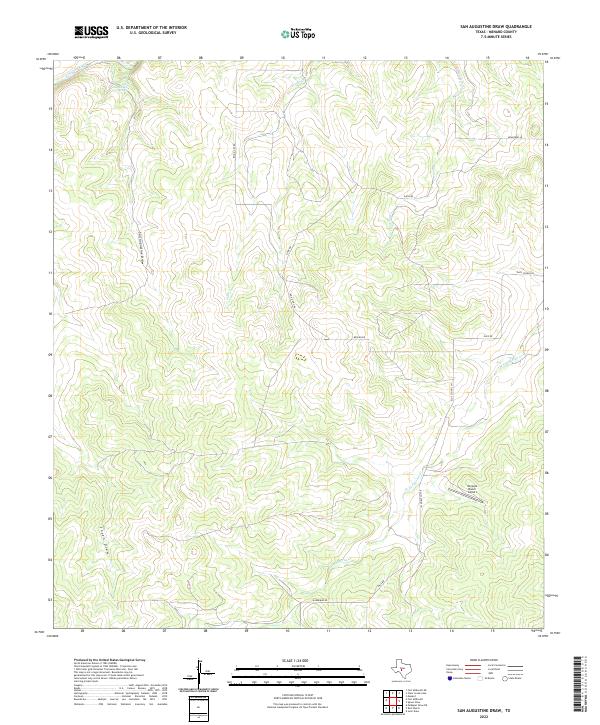
2022 San Augustine Draw
Menard County, TX
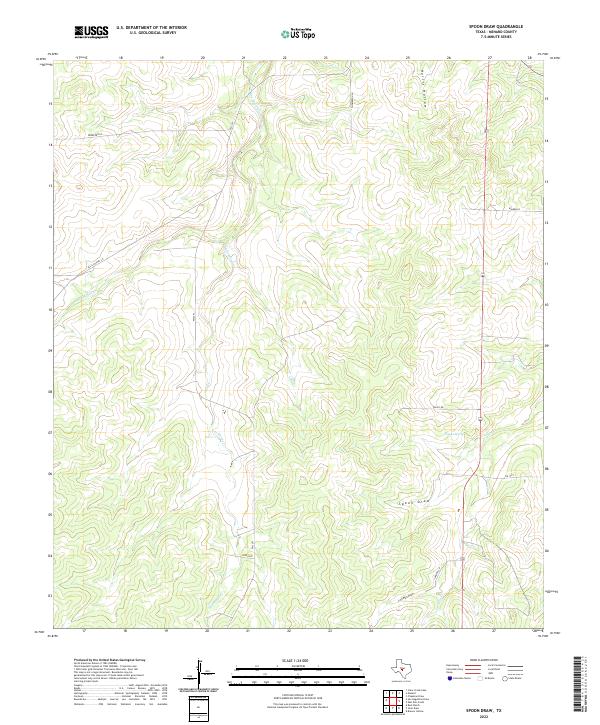
2022 Spoon Draw
Menard County, TX