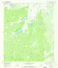
1970 Map of Needle Creek
USGS Topo · Published 1973About this map
The Ford Ranch sits as the primary human landmark in this section of the Texas hill country, where the borders of Concho, McCulloch, and Menard counties meet. Mapping conducted in 1970 reveals a landscape defined by an intricate network of drainage draws and ranching water infrastructure. The topography is shaped by seasonal watercourses like Needle Creek and Clements Draw, which are punctuated by numerous small reservoirs and spillways.
Find a feature on this map
15 named features on this map. Tap any name to fly to it.
Don’t see what you’re looking for? This feature index may not catch every label — zoom into the map to look around manually.
Map Details
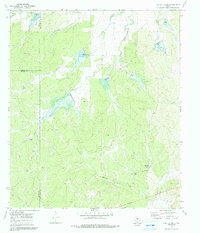
Editions of this 1970 Needle Creek Map
2 editions found
Other maps of this area

1887 · Mason
USGS Topo · 1:125,000

1892 · Eden
USGS Topo · 1:125,000

1894 · Brady
USGS Topo · 1:125,000

1894 · Mason
USGS Topo · 1:125,000

1896 · Eden
USGS Topo · 1:125,000

1954 · Brownwood
USGS Topo · 1:250,000

1954 · Llano
USGS Topo · 1:250,000

1955 · Llano
USGS Topo · 1:250,000

1956 · Llano
USGS Topo · 1:250,000

1960 · West Sweden
USGS Topo · 1:24,000