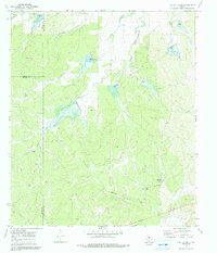
1970 Map of Needle Creek
USGS Topo · Published 1991About this map
Needle Creek and its surrounding drainage systems define this section of West Texas at the start of the 1970s. The landscape is marked by several significant draws, including Clements Draw and Deland Draw, alongside Saddle Creek and Cow Creek. This map is particularly notable for its documentation of land management and water resources, featuring specific points like Bee Gum Tank, Willow Tank, and a perennial Spring.
Find a feature on this map
13 named features on this map. Tap any name to fly to it.
Don’t see what you’re looking for? This feature index may not catch every label — zoom into the map to look around manually.
Map Details
Editions of this 1970 Needle Creek Map
2 editions found
Other maps of this area

1887 · Mason
USGS Topo · 1:125,000

1892 · Eden
USGS Topo · 1:125,000

1894 · Brady
USGS Topo · 1:125,000

1894 · Mason
USGS Topo · 1:125,000

1896 · Eden
USGS Topo · 1:125,000

1954 · Brownwood
USGS Topo · 1:250,000

1954 · Llano
USGS Topo · 1:250,000

1955 · Llano
USGS Topo · 1:250,000

1956 · Llano
USGS Topo · 1:250,000

1960 · West Sweden
USGS Topo · 1:24,000