
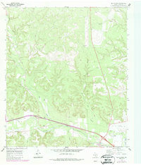
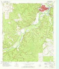
1970 Map of Elm Slough
USGS Topo · Published 1973About this map
The Llano River winds through the southern portion of this Hill Country landscape, defining the local geography as it flows past the Gaging Sta and under various pipelines. This 1970 snapshot of Kimble County reveals a transition between ranching traditions and modern infrastructure, where the Bolt Ranch and Bear Creek Cem sit alongside more contemporary additions like the County Airport and a Drive-in Theater.
Find a feature on this map
20 named features on this map. Tap any name to fly to it.
Don’t see what you’re looking for? This feature index may not catch every label — zoom into the map to look around manually.
Map Details
Editions of this 1970 Elm Slough Map
2 editions found
Other maps of this area

1932 · Junction
USGS Topo · 1:62,500

1954 · Llano
USGS Topo · 1:250,000

1955 · Llano
USGS Topo · 1:250,000

1956 · Llano
USGS Topo · 1:250,000

1970 · Julio Draw
USGS Topo · 1:24,000
1970 · Rust Ranch
USGS Topo · 1:24,000

1970 · Brewer Hollow
USGS Topo · 1:24,000
1970 · Stark Creek
USGS Topo · 1:24,000
1970 · Big Draw
USGS Topo · 1:24,000
1974 · Junction
USGS Topo · 1:24,000