Old Maps of Vera, Texas for Academic Research
Study the evolution of Vera with 9 high-resolution historic maps. Whether you're teaching, researching, or modeling changes in land use, these maps provide essential visual documentation of urban, environmental, and geographic change.
- Analyze long-term change: Track patterns in development, transportation, and natural features.
- Ideal for environmental or urban studies: Support academic projects with primary historical map data.
- Use in the classroom or lab: Educators and researchers rely on these maps to bring historical context to life.
These maps are a powerful tool for teaching, research, and visualizing how Vera has changed over the decades.
Vera, TX maps
(9)- 1954 Map of Wichita Falls, 1966 Print
 1954 Wichita Falls1966 Print · USGSNorth Texas in the mid-fifties is captured here as a landscape of expanding oil fields and vital rail corridors. Genealogists and historians can trace family roots through rural landmarks like Bacon Chapel and the rail-side growth of Seymour and Archer City.3 unique versions available
 - 1958 Map of Wichita Falls
 1958 Wichita Falls1958 Print · USGSNorth Texas during the late fifties reveals a landscape defined by the booming petroleum industry and established rail hubs. Researchers can trace the development of Wichita Falls and discover rural landmarks like Barton's Chapel or the Hull-Silk Oil Field.
 - 1966 Map of Vera, 1969 Print
 1966 Vera1969 Print · USGSKnox County ranching and river lands are captured here during the mid-sixties, showing the transition from flat prairie to the breaks of the South Wichita River. Researchers can trace local landmarks like the town of Vera, a local Cem, and the distinct topography of Ignorant Ridge.
 - 1985 Map of Lake Kemp
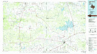 1985 Lake Kemp1985 Print · USGSThe North Texas plains come into sharp focus in the mid-eighties as a region defined by its vast reservoirs and deep-rooted agricultural hubs. Genealogists and local historians can trace the rural landscape surrounding Seymour, the rail lines of the Burlington Northern, and landmarks like The Narrows.2 unique versions available
 - 2010 Map of Vera, 2010 Print
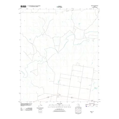 2010 Vera2010 Print · USGSThe rural landscape of Knox County is captured here in the early twenty-first century, centered on the small community of Vera. Genealogists and local historians can trace the road networks and water systems that define this region, from Ignorant Ridge to the banks of the South Wichita River.
 - 2013 Map of Vera, 2013 Print
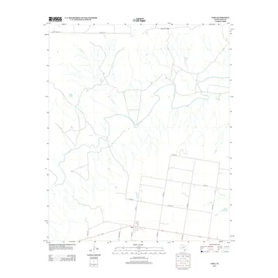 2013 Vera2013 Print · USGSVera and the surrounding Knox County ranch lands are captured here during the early twenty-first century. Researchers can trace the path of the S Wichita River and locate family landmarks like Ignorant Ridge and Boyd Lake.
 - 2016 Map of Vera, 2016 Print
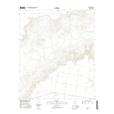 2016 Vera2016 Print · USGSKnox County land use and water systems are documented in the mid-2010s, centered on the rural crossroads of Vera. Researchers can trace the path of the South Wichita River or locate local landmarks like Ignorant Ridge and the waters of Boyd Lake.
 - 2019 Map of Vera, 2019 Print
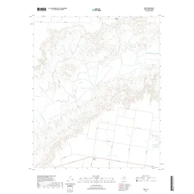 2019 Vera2019 Print · USGSKnox County ranching and farming country is captured here in the late twenty-teens, where the plains give way to the river breaks. Researchers can trace the area around Vera and the winding course of the South Wichita River past Ignorant Ridge and Boyd Lake.
 - 2022 Map of Vera, 2022 Print
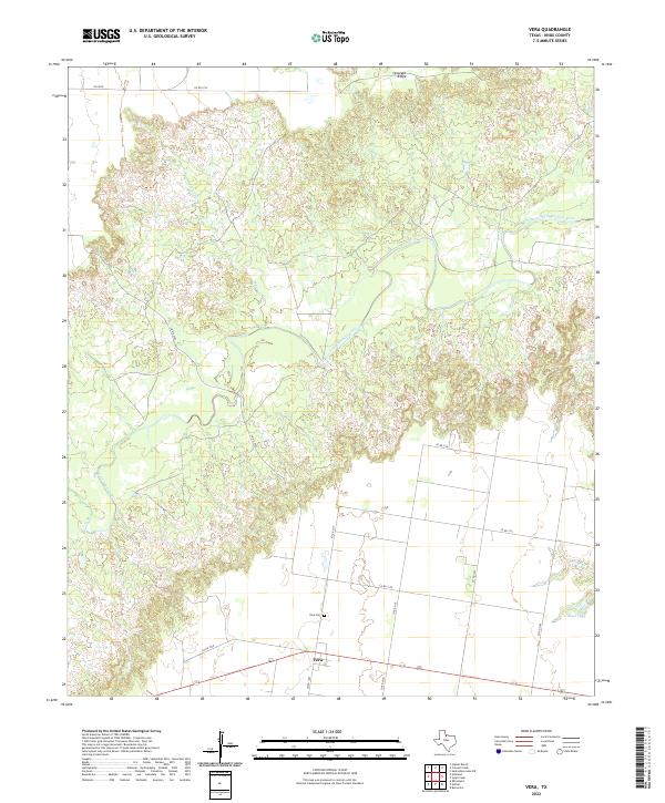 2022 Vera2022 Print · USGSKnox County, Texas, remains a landscape of quiet rural crossroads and winding river valleys in this modern survey. Genealogists and local historians can trace the foundations of the community at Vera, locate family burials at Vera Cem, and map the rugged terrain near Ignorant Ridge.
End of results
Showing maps 1-9 of 9
Top cities near Vera
Frequently asked questions
- What are the different types of historical maps available for Vera?
- What is the oldest map of Vera?
- Where can I purchase historical maps of Vera for my home or office?
- Where can I download high-res historical maps of Vera?
- Are there historical topographic maps available for Vera?
- Is there historical aerial imagery available for Vera?
- Where are historical maps of Vera sourced from?