Old Maps of East Direct, Texas for Academic Research
Study the evolution of East Direct with 13 high-resolution historic maps. Whether you're teaching, researching, or modeling changes in land use, these maps provide essential visual documentation of urban, environmental, and geographic change.
- Analyze long-term change: Track patterns in development, transportation, and natural features.
- Ideal for environmental or urban studies: Support academic projects with primary historical map data.
- Use in the classroom or lab: Educators and researchers rely on these maps to bring historical context to life.
These maps are a powerful tool for teaching, research, and visualizing how East Direct has changed over the decades.
East Direct, TX maps
(13)- 1903 Map of Paris
 1903 Paris1903 Print · USGSThe Red River borderlands of the Indian Territory and Texas are shown here at the start of the century. Genealogists and researchers can trace early settlements and social hubs like Grant, Oberlin, and the Camp Ground along the winding banks of the Red River.
 - 1948 Map of Direct, 1968 Print
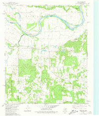
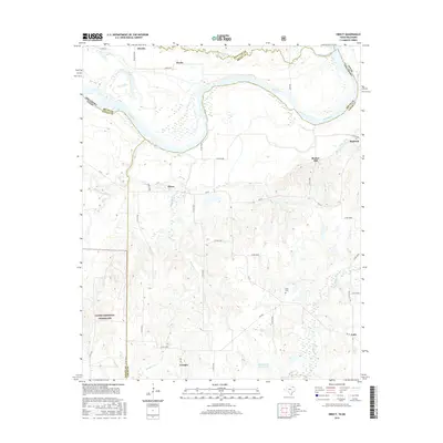
 1948 Direct1968 Print · USGSThe Red River valley at the close of the 1940s reveals a landscape of isolated farming communities and local schools spanning the Oklahoma-Texas border. Genealogists and historians can trace the foundations of New Oberlin or locate remote landmarks like Iron Stob School and Arch Chapel Cem.
 - 1949 Map of Direct
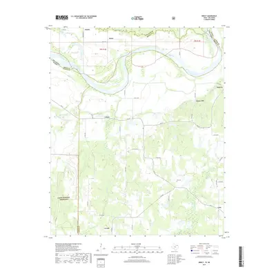
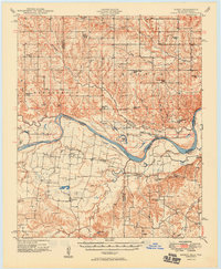 1949 Direct1949 Print · USGSThe Oklahoma and Texas borderlands along the Red River are captured here in the late 1940s. Local historians can trace the vanished Oberlin Ferry and old country schools like Crowder Springs School or visit family sites at Forest Grove Cem and Monkstown.2 unique versions available
 - 1953 Map of Texarkana, 1964 Print
 1953 Texarkana1964 Print · USGSThe Texas-Arkansas borderlands are captured here in the mid-fifties, during a decade of massive military and hydraulic engineering projects. Genealogists and researchers can locate family landmarks like Old Boston Cem, Siloam Ch, and the vast Red River Arsenal.4 unique versions available
 - 1956 Map of Texarkana
 1956 Texarkana1956 Print · USGSThe Ark-La-Tex borderlands come alive in the mid-fifties, showing the transition from a rail-dependent rural economy to a post-war industrial landscape. Researchers can trace the massive Red River Ordnance Depot and find towns like Talco, Bogata, and Naples.
 - 1980 Map of Direct, 1981 Print
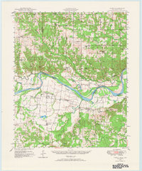
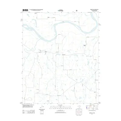
 1980 Direct1981 Print · USGSThe Red River border between Texas and Oklahoma is captured here in the late seventies, showing the rural communities along the river's winding path. Genealogists can trace the rural landscape around Direct, find the location of Pyles Cem, or locate the crossroads at Unity.
 - 1985 Map of Paris
 1985 Paris1985 Print · USGSThe Red River Valley in the mid-eighties shows a landscape of military training grounds and rail-connected agricultural towns. Genealogists and historians can trace local landmarks like Allens Chapel Cem, the grounds of Camp Maxey, and the early footprint of Paris Junior College.
 - 1991 Map of Paris
 1991 Paris1991 Print · USGSNorthern Texas and southern Oklahoma meet along the Red River valley during the early nineties. Researchers can trace the rail networks of the Texas and Pacific RR and visit rural communities like Manchester, Sylvan, and Arthur City.
 - 2010 Map of Direct, 2010 Print
 2010 Direct2010 Print · USGSCovers East Direct, including Georgia, Bunker Hill, and other nearby areas
 - 2013 Map of Direct, 2013 Print
 2013 Direct2013 Print · USGSCovers East Direct, including Georgia, Bunker Hill, and other nearby areas
 - 2016 Map of Direct, 2016 Print
 2016 Direct2016 Print · USGSCovers East Direct, including Georgia, Bunker Hill, and other nearby areas
 - 2019 Map of Direct, 2019 Print
 2019 Direct2019 Print · USGSCovers East Direct, including Georgia, Bunker Hill, and other nearby areas
 - 2022 Map of Direct, 2022 Print
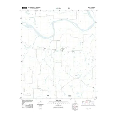
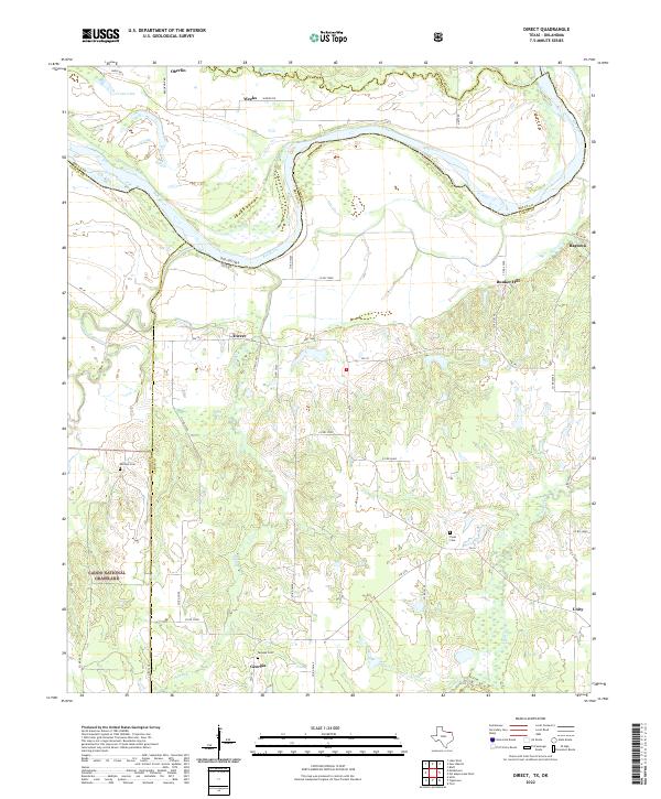 2022 Direct2022 Print · USGSLamar County, Texas, along the winding bends of the Red River is shown here in the modern era. Researchers can locate family landmarks like Whitten Cem or trace rural settlements such as Direct, Georgia, and Ragtown among the creeks and grasslands.
End of results
Showing maps 1-13 of 13
Top cities near East Direct
- Paris historical maps
- Honey Grove historical maps
- Boswell historical maps
- Bennington historical maps
- Soper historical maps
- Toco historical maps
Frequently asked questions
- What are the different types of historical maps available for East Direct?
- What is the oldest map of East Direct?
- Where can I purchase historical maps of East Direct for my home or office?
- Where can I download high-res historical maps of East Direct?
- Are there historical topographic maps available for East Direct?
- Is there historical aerial imagery available for East Direct?
- Where are historical maps of East Direct sourced from?