Old Maps of Fieldton, Texas for Hiking & Exploration
Hike through history with 9 historic maps of Fieldton. Explore old trails, ghost towns, and forgotten backroads — perfect for outdoor adventurers and local explorers.
- Rediscover forgotten places: Map out old mining camps, roads, and footpaths that no longer exist on modern maps.
- Layer with modern tools: Combine with LiDAR or satellite views to plan hikes through historical terrain.
- Made for exploration: Popular among hikers, overlanders, and local history lovers.
Use these maps to find adventure and explore the hidden past of Fieldton.
Fieldton, TX maps
(9)- 1954 Map of Clovis, 1966 Print
 1954 Clovis1966 Print · USGSThe High Plains of the Texas-New Mexico borderland come alive in this mid-century survey as the region's agricultural and rail networks reached their peak. Trace family roots and local history through features like Cannon AFB, the massive Sand Hills, and busy rail towns such as Friona and Littlefield.4 unique versions available
 - 1958 Map of Clovis
 1958 Clovis1958 Print · USGSThe High Plains of the New Mexico-Texas borderlands are captured here in the late fifties, during a period of significant military and agricultural expansion. Genealogists and historians can trace the rail-side growth of Clovis, the operations at Clovis Air Force Base, and the rural layout of communities like Muleshoe and Hereford.
 - 1962 Map of Fieldton, 1965 Print
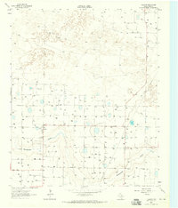 1962 Fieldton1965 Print · USGSThe Texas High Plains near Lamb County are shown during the early sixties, a period of extensive groundwater irrigation. Genealogists can locate rural homesites around Fieldton and Hart Camp or trace the path of Blackwater Draw.2 unique versions available
 - 1985 Map of Muleshoe
 1985 Muleshoe1985 Print · USGSThe High Plains of the Texas Panhandle in the mid-eighties show a landscape defined by industrial agriculture and rail. Genealogists and local historians can trace family roots through rural communities like Lazbuddie, Sudan, and the uniquely named town of Earth.2 unique versions available
 - 2010 Map of Fieldton, 2010 Print
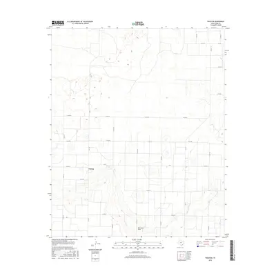
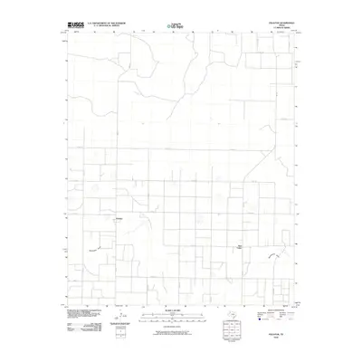 2010 Fieldton2010 Print · USGSCovers Fieldton, including Hart Camp, Lamb County, and other nearby areas
 - 2012 Map of Fieldton, 2012 Print
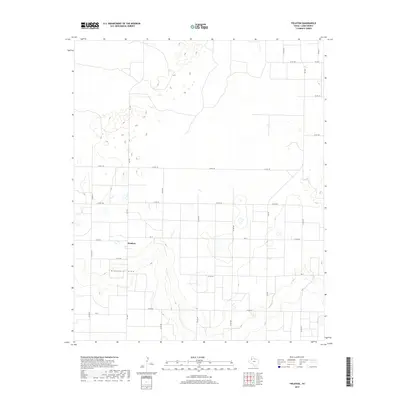
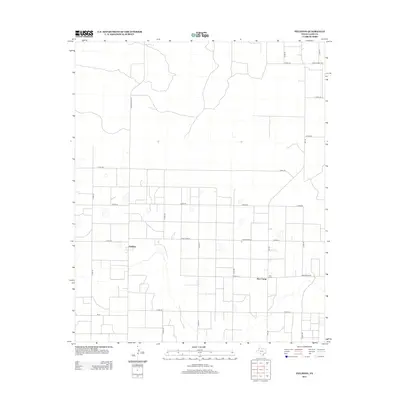 2012 Fieldton2012 Print · USGSCovers Fieldton, including Hart Camp, Lamb County, and other nearby areas
 - 2016 Map of Fieldton, 2016 Print
 2016 Fieldton2016 Print · USGSCovers Fieldton, including Hart Camp, Lamb County, and other nearby areas
 - 2019 Map of Fieldton, 2019 Print
 2019 Fieldton2019 Print · USGSCovers Fieldton, including Hart Camp, Lamb County, and other nearby areas
 - 2022 Map of Fieldton, 2022 Print
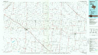
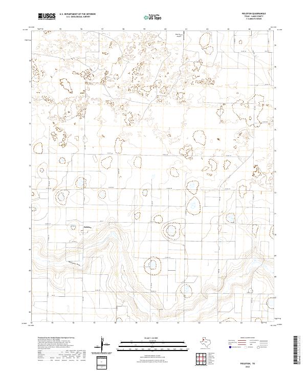 2022 Fieldton2022 Print · USGSThe South Plains of Lamb County are documented here in the early twenty-first century, showing the intersection of irrigation-fed agriculture and the natural Blackwater Draw. Researchers can trace the layout of Fieldton and identify rural infrastructure like Rose Ranch Airport and the farm-to-market road system.
End of results
Showing maps 1-9 of 9
Top cities near Fieldton
- Littlefield historical maps
- Olton historical maps
- Anton historical maps
- Earth historical maps
- Amherst historical maps
- Springlake historical maps
Frequently asked questions
- What are the different types of historical maps available for Fieldton?
- What is the oldest map of Fieldton?
- Where can I purchase historical maps of Fieldton for my home or office?
- Where can I download high-res historical maps of Fieldton?
- Are there historical topographic maps available for Fieldton?
- Is there historical aerial imagery available for Fieldton?
- Where are historical maps of Fieldton sourced from?