Old Maps of Mont, Texas for Genealogy
Trace your family roots with 9 historic maps of Mont. These high-res maps reveal old neighborhoods, homesites, landmarks, and streets — helping you uncover where your ancestors lived and how the area evolved over time.
- Explore historic neighborhoods: Identify where your relatives may have lived in the 1800s or 1900s.
- Compare maps over time: Trace the changes in streets, buildings, and landmarks for multi-generational research.
- Perfect for genealogy & ancestry research: Used by family historians and researchers to map out lineage and migration.
These maps are an incredible resource for exploring your personal connection to Mont's past.
Mont, TX maps
(9)- 1953 Map of Seguin, 1965 Print
 1953 Seguin1965 Print · USGSSouth Texas in the early fifties shows a thriving river-and-rail economy across the Guadalupe and Colorado basins. Genealogists and historians can trace rail routes like the Southern Pacific through Seguin, locate oil wells, or find the Gary AAF near San Marcos.4 unique versions available
 - 1958 Map of Seguin
 1958 Seguin1958 Print · USGSSouth Texas in the late fifties was a network of river-valley settlements and active oilfields tied together by major rail lines. Genealogists and historians can trace family-named sites across Rabb Prairie, locate the Behring Store, or follow the Southern Pacific through Schulenburg.
 - 1965 Map of Wied, 1967 Print
 1965 Wied1967 Print · USGSLavaca County's rural landscape is captured here in the mid-sixties, showing a region shaped by winding creeks and early transit routes. You can trace the Old RR Grade and locate long-standing landmarks like the Charlottenburg Cem and Vysehrad Sch.2 unique versions available
 - 1985 Map of Cuero
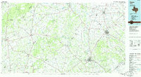 1985 Cuero1985 Print · USGSSouth Texas in the mid-eighties reveals a landscape of river-bottom farms and active petroleum production. Researchers can trace family-named landmarks and rural settlements like Monthalia, Kosciuszko, and the Thomaston Oil Field along the Southern Pacific rail lines.2 unique versions available
 - 2010 Map of Wied, 2010 Print
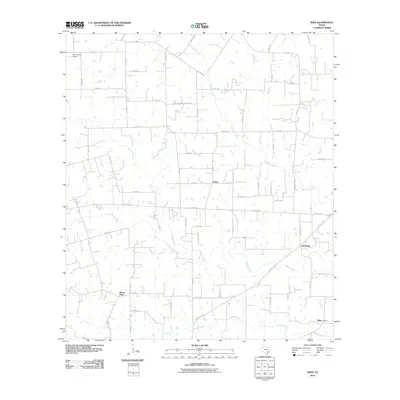 2010 Wied2010 Print · USGSLavaca County's rural ranching landscape is captured here in the early twenty-first century, centered on the historic crossroads of Wied. Researchers can trace old family land holdings near Louis Sitka or locate rural sites like Mount Olive and the Charlottenberg Cemetery Rd.
 - 2013 Map of Wied, 2013 Print
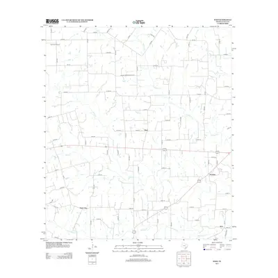 2013 Wied2013 Print · USGSLavaca County's rural crossroads and winding creek beds are documented here in the early twenty-first century. Researchers can trace the landscape around Wied and Worthing or locate family history sites near Mount Olive and Charlottenberg Cemetery Rd.
 - 2016 Map of Wied, 2016 Print
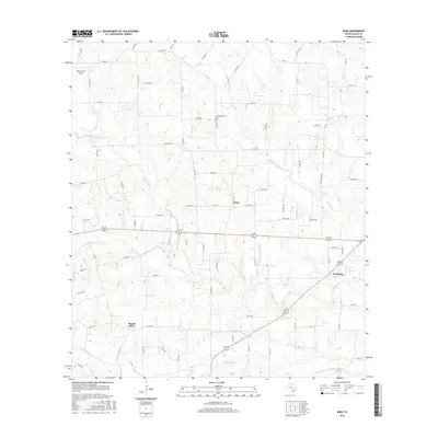 2016 Wied2016 Print · USGSLavaca County is seen here in the mid-2010s, showing a traditional Texas landscape of ranching and rural communities. Researchers can trace local roots through Charlottenburg Cem or locate the vicinities of Wied, Mount Olive, and Worthing.
 - 2019 Map of Wied, 2019 Print
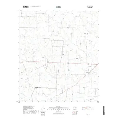 2019 Wied2019 Print · USGSLavaca County ranchlands come into focus in the late 2010s, showing a rural landscape defined by creek beds and country roads. Genealogists and local historians can locate Charlottenburg Cem and trace the paths of Smothers Cr through Wied.
 - 2022 Map of Wied, 2022 Print
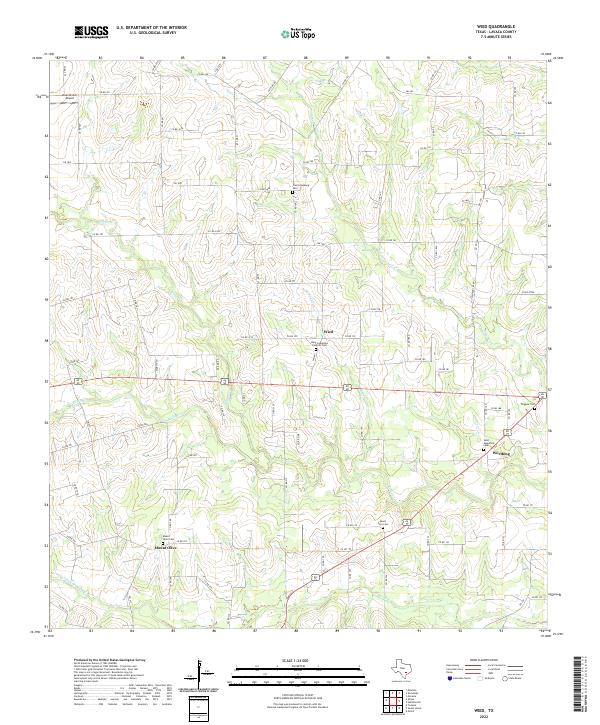 2022 Wied2022 Print · USGSCentral Lavaca County's rural character and family-settlement history are documented here in the early twenty-first century. Genealogists can trace family lines through numerous burial sites including Charlottenburg Cem, Saint Ludmilla's Catholic Cem, and the Mount Olive crossroads.
End of results
Showing maps 1-9 of 9
Top cities near Mont
Frequently asked questions
- What are the different types of historical maps available for Mont?
- What is the oldest map of Mont?
- Where can I purchase historical maps of Mont for my home or office?
- Where can I download high-res historical maps of Mont?
- Are there historical topographic maps available for Mont?
- Is there historical aerial imagery available for Mont?
- Where are historical maps of Mont sourced from?