Old Maps of Vienna, Texas for Metal Detecting
Plan your next treasure hunt with 9 historic maps of Vienna. Find old homesites, ghost towns, trails, and gathering spots that may be lost to time — perfect for identifying promising metal detecting locations.
- Locate forgotten sites: Uncover places like long-lost settlements, abandoned rail lines, or gathering spots.
- Plan better hunts: Use map overlays combined with LiDAR or satellite views to narrow in on historically rich areas.
- Made for detectorists: Thousands of hobbyists use these maps to discover relics, coins, and hidden history.
Use these historic maps to boost your research and find new opportunities beneath the surface of Vienna.
Vienna, TX maps
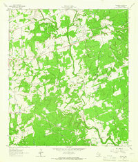
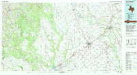
(9)- 1953 Map of Seguin, 1965 Print
 1953 Seguin1965 Print · USGSSouth Texas in the early fifties shows a thriving river-and-rail economy across the Guadalupe and Colorado basins. Genealogists and historians can trace rail routes like the Southern Pacific through Seguin, locate oil wells, or find the Gary AAF near San Marcos.4 unique versions available
 - 1958 Map of Seguin
 1958 Seguin1958 Print · USGSSouth Texas in the late fifties was a network of river-valley settlements and active oilfields tied together by major rail lines. Genealogists and historians can trace family-named sites across Rabb Prairie, locate the Behring Store, or follow the Southern Pacific through Schulenburg.
 - 1962 Map of Sublime, 1966 Print
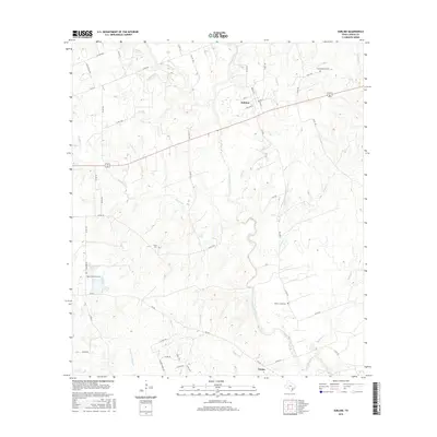
 1962 Sublime1966 Print · USGSLavaca County in the early 1960s is depicted as a rural landscape shaped by the Navidad River and its many creek systems. Researchers can trace family history at the Pagel Settlement Cem, locate the small community of Vsetin, or follow the Old Railroad Grade through Sublime.2 unique versions available
 - 1994 Map of El Campo
 1994 El Campo1994 Print · USGSCoastal Texas in the mid-nineties shows a landscape deeply shaped by the energy industry and rail logistics. Researchers can trace the sprawling Sheridan Gas Field or locate historic rail stops in El Campo, Spanish Camp, and Provident City.
 - 2010 Map of Sublime, 2010 Print
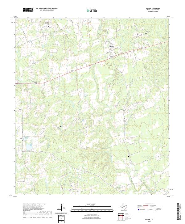
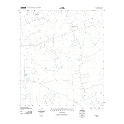 2010 Sublime2010 Print · USGSCovers Vienna, including Vsetin, Sublime, and other nearby areas
 - 2013 Map of Sublime, 2013 Print
 2013 Sublime2013 Print · USGSCovers Vienna, including Vsetin, Sublime, and other nearby areas
 - 2016 Map of Sublime, 2016 Print
 2016 Sublime2016 Print · USGSCovers Vienna, including Vsetin, Sublime, and other nearby areas
 - 2019 Map of Sublime, 2019 Print
 2019 Sublime2019 Print · USGSCovers Vienna, including Vsetin, Sublime, and other nearby areas
 - 2022 Map of Sublime, 2022 Print
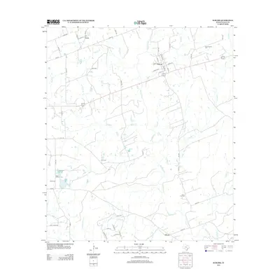
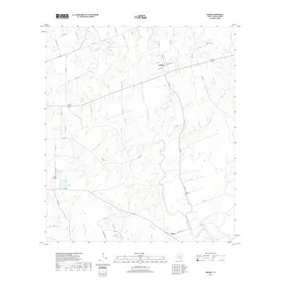
 2022 Sublime2022 Print · USGSLavaca County's rural landscape is captured here in the early 2020s, showing a quiet network of creeks and small settlements. Genealogists can trace family roots at Pagel Settlement Cem, Smoothing Iron Cem, and the community of Sublime.
End of results
Showing maps 1-9 of 9
Top cities near Vienna
Frequently asked questions
- What are the different types of historical maps available for Vienna?
- What is the oldest map of Vienna?
- Where can I purchase historical maps of Vienna for my home or office?
- Where can I download high-res historical maps of Vienna?
- Are there historical topographic maps available for Vienna?
- Is there historical aerial imagery available for Vienna?
- Where are historical maps of Vienna sourced from?