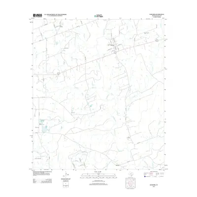
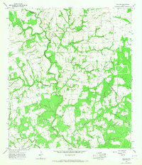
2013 Map of Sublime
USGS Topo · Published 2013About this map
The Navidad River and its network of tributaries define the landscape of eastern Lavaca County in the early 21st century. The small community of Sublime serves as a local hub, featuring a tight grid of streets such as Texana St and Oakland St. To the north, Vsetin sits near the headwaters of Robinson Br, while Vienna marks the southern reach of the survey. The region is notable for its dispersed historical burying grounds, providing essential clues for genealogists and local historians. Sites such as Pagel Settlement Cem, Smoothingiron Cem, and Willow Creek Cem are preserved among the winding creeks and farm-to-market roads. The drainage pattern, characterized by the meandering Sandy Br and Smoothingiron Br, reflects a rural Texas topography where water sources dictated original settlement locations and road alignments.
Find a feature on this map
56 named features on this map. Tap any name to fly to it.
Don’t see what you’re looking for? This feature index may not catch every label — zoom into the map to look around manually.
Map Details
Editions of this 2013 Sublime Map
This is the sole edition of this map. No revisions or reprints were ever made.
Other maps of this area
1919 · Schulenburg
USGS Topo · 1:62,500

1953 · Seguin
USGS Topo · 1:250,000
1956 · Glidden
USGS Topo · 1:62,500

1958 · Seguin
USGS Topo · 1:250,000
1962 · Sublime
USGS Topo · 1:24,000
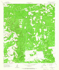
1962 · Hallettsville SE
USGS Topo · 1:24,000
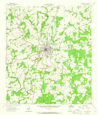
1962 · Hallettsville
USGS Topo · 1:24,000
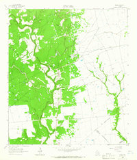
1964 · Speaks
USGS Topo · 1:24,000
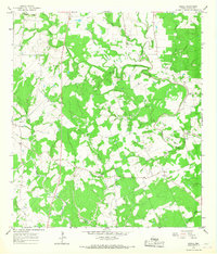
1964 · Ezzell
USGS Topo · 1:24,000
1965 · Oakland
USGS Topo · 1:24,000