
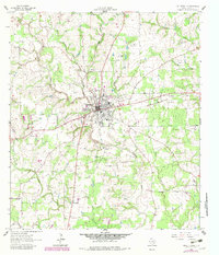
1962 Map of Hallettsville
USGS Topo · Published 1966About this map
Hallettsville serves as the focal point of this Lavaca County landscape, situated at the confluence of the Lavaca River and several drainage systems including Campbell Branch and Rocky Creek. The 1960s economy of the area is balanced between agriculture and early industrial activity, evidenced by the Hallettsville Oil Field to the north and numerous local gravel and sand operations. Cultural life is anchored by family-named landmarks and rural outposts such as Pagel Settlement and Williamsburg.
Find a feature on this map
35 named features on this map. Tap any name to fly to it.
Don’t see what you’re looking for? This feature index may not catch every label — zoom into the map to look around manually.
Map Details
Editions of this 1962 Hallettsville Map
2 editions found
Other maps of this area

1901 · Flatonia
USGS Topo · 1:125,000

1919 · Schulenburg
USGS Topo · 1:62,500

1953 · Seguin
USGS Topo · 1:250,000

1958 · Seguin
USGS Topo · 1:250,000

1962 · Sublime
USGS Topo · 1:24,000

1962 · Hallettsville SE
USGS Topo · 1:24,000

1963 · Sweet Home
USGS Topo · 1:24,000

1964 · Ezzell
USGS Topo · 1:24,000

1965 · Oakland
USGS Topo · 1:24,000

1965 · Wied
USGS Topo · 1:24,000