Old Maps of Dime Box, Texas for Academic Research
Study the evolution of Dime Box with 9 high-resolution historic maps. Whether you're teaching, researching, or modeling changes in land use, these maps provide essential visual documentation of urban, environmental, and geographic change.
- Analyze long-term change: Track patterns in development, transportation, and natural features.
- Ideal for environmental or urban studies: Support academic projects with primary historical map data.
- Use in the classroom or lab: Educators and researchers rely on these maps to bring historical context to life.
These maps are a powerful tool for teaching, research, and visualizing how Dime Box has changed over the decades.
Dime Box, TX maps
(9)- 1919 Map of Dime Box, 1956 Print
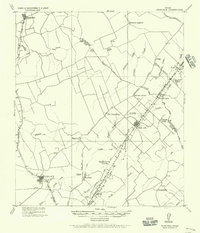 1919 Dime Box1956 Print · USGSLee County and the surrounding Texas Brazos Valley are shown here just after the Great War, during a period of shifting settlements. Genealogists can trace early homesteads and community hubs near Old Dime Box, Loebau, and Shady Grove School.
 - 1954 Map of Austin, 1964 Print
 1954 Austin1964 Print · USGSCentral Texas is captured during a period of steady growth as the capital city and its neighboring farm towns began to modernize. Researchers can trace historic rail corridors like the Southern Pacific RR or locate landmarks such as Bergstrom Air Force Base and Pilot Knob.4 unique versions available
 - 1959 Map of Dime Box, 1960 Print
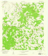 1959 Dime Box1960 Print · USGSTexas ranching and rail history intersect in Lee County during the late fifties, where the original town sites are clearly delineated. Researchers can trace the path of El Camino Real and locate family landmarks like Sweet Home High Sch and Sandy Point Cem.4 unique versions available
 - 1993 Map of Brenham
 1993 Brenham1993 Print · USGSTexas river country and the birthplace of the republic are showcased in the early nineties, centered on the confluence of the Brazos and Navasota. Researchers can trace the rail sidings of the Southern Pacific RR and locate historic community landmarks like St Paul Ch and Washington-on-the-Brazos State Park.
 - 2010 Map of Dime Box, 2010 Print
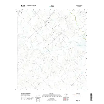
 2010 Dime Box2010 Print · USGSCovers Dime Box, including Antioch, Sweet Home, and other nearby areas
 - 2013 Map of Dime Box, 2013 Print
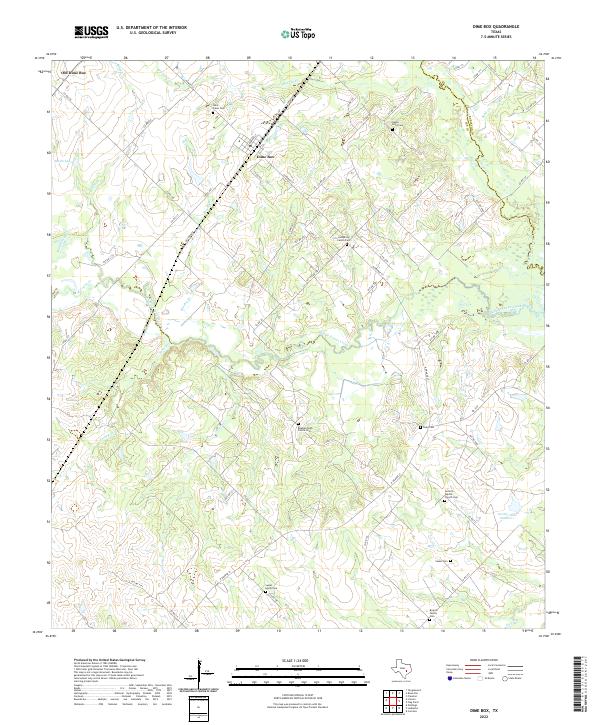
 2013 Dime Box2013 Print · USGSCovers Dime Box, including Antioch, Sweet Home, and other nearby areas
 - 2016 Map of Dime Box, 2016 Print
 2016 Dime Box2016 Print · USGSCovers Dime Box, including Antioch, Sweet Home, and other nearby areas
 - 2019 Map of Dime Box, 2019 Print
 2019 Dime Box2019 Print · USGSCovers Dime Box, including Antioch, Sweet Home, and other nearby areas
 - 2022 Map of Dime Box, 2022 Print
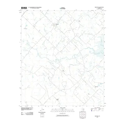
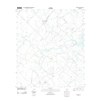
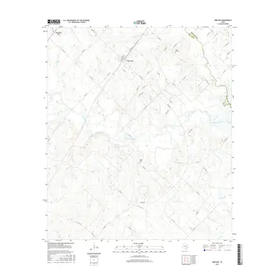
 2022 Dime Box2022 Print · USGSThis rural Lee County landscape shows the Texas interior as it appeared in the early 2020s, centered on the twin settlements of Dime Box and Old Dime Box. Researchers can trace dozens of family and community sites, including the Beaman High Prairie Cem and Antioch Baptist Church Cem.
End of results
Showing maps 1-9 of 9
Top cities near Dime Box
- Giddings historical maps
- Caldwell historical maps
- Lexington historical maps
- Burton historical maps
- Carmine historical maps
Frequently asked questions
- What are the different types of historical maps available for Dime Box?
- What is the oldest map of Dime Box?
- Where can I purchase historical maps of Dime Box for my home or office?
- Where can I download high-res historical maps of Dime Box?
- Are there historical topographic maps available for Dime Box?
- Is there historical aerial imagery available for Dime Box?
- Where are historical maps of Dime Box sourced from?