Old Maps of Jewett, Texas for Hiking & Exploration
Hike through history with 16 historic maps of Jewett. Explore old trails, ghost towns, and forgotten backroads — perfect for outdoor adventurers and local explorers.
- Rediscover forgotten places: Map out old mining camps, roads, and footpaths that no longer exist on modern maps.
- Layer with modern tools: Combine with LiDAR or satellite views to plan hikes through historical terrain.
- Made for exploration: Popular among hikers, overlanders, and local history lovers.
Use these maps to find adventure and explore the hidden past of Jewett.
Jewett, TX maps
(16)- 1954 Map of Waco, 1964 Print
 1954 Waco1964 Print · USGSCentral Texas during the mid-fifties shows a landscape defined by the expansion of Fort Hood Military Reservation and the Brazos river system. Trace the rail lines and early airfields like James Connally Air Force Base and settlements like Temple or McGregor.2 unique versions available
 - 1955 Map of Waco
 1955 Waco1955 Print · USGSCentral Texas at the peak of the Cold War reveals a landscape defined by military expansion and major water projects. Researchers can trace the footprints of Fort Hood, the waters of Lake Waco, and regional hubs like Temple or Mexia.
 - 1956 Map of Jewett
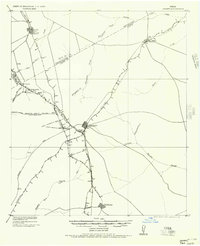 1956 Jewett1956 Print · USGSLeon and Freestone counties emerge as a vital rail and mining hub in this early twentieth-century survey. Genealogists and historians can trace the growth of settlements like Jewett and Buffalo, or locate defunct stops such as Newly and the Evansville Coal Spur.
 - 1965 Map of Jewett, 1967 Print
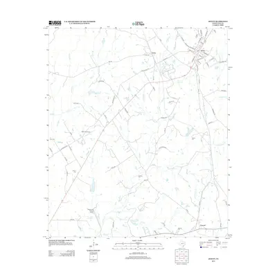
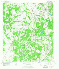 1965 Jewett1967 Print · USGSJewett and the surrounding Leon County countryside are captured here in the mid-1960s at the junction of two major rail lines. Researchers can trace ancestral roots at Taylor Cem and Burleson Cem or locate the rural Sardis Ch and Independent Sch.2 unique versions available
 - 1965 Map of Donie, 1968 Print
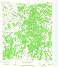 1965 Donie1968 Print · USGSDonie and the surrounding Leon County countryside are captured here in the mid-1960s, showing a landscape defined by timber, water, and the rail line. Genealogists and local historians can locate long-standing landmarks such as Wilson Chapel, Post Oak Cem, and the waters of Thundering Springs.2 unique versions available
 - 1985 Map of Marlin
 1985 Marlin1985 Print · USGSMid-century Texas agriculture and transit converge here during the mid-1980s, centered on the Brazos River corridor. Genealogists can locate family sites near Tidwell Prairie or trace the Missouri Pacific RR through Bremond and Kosse.2 unique versions available
 - 2010 Map of Jewett, 2010 Print
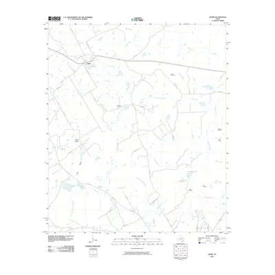
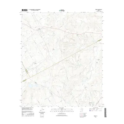
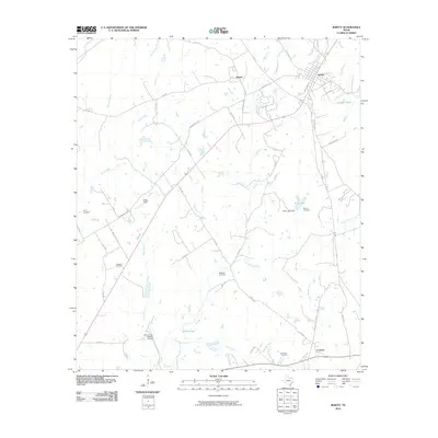 2010 Jewett2010 Print · USGSCovers Jewett, including Concord, Newby, and other nearby areas
 - 2010 Map of Donie, 2010 Print
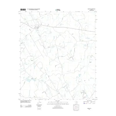
 2010 Donie2010 Print · USGSCovers Jewett, including Donie, Limestone County, and other nearby areas
 - 2013 Map of Donie, 2013 Print
 2013 Donie2013 Print · USGSCovers Jewett, including Donie, Limestone County, and other nearby areas
 - 2013 Map of Jewett, 2013 Print
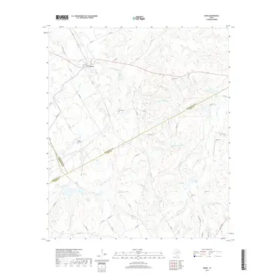
 2013 Jewett2013 Print · USGSCovers Jewett, including Concord, Newby, and other nearby areas
 - 2016 Map of Jewett, 2016 Print
 2016 Jewett2016 Print · USGSCovers Jewett, including Concord, Newby, and other nearby areas
 - 2016 Map of Donie, 2016 Print
 2016 Donie2016 Print · USGSCovers Jewett, including Donie, Limestone County, and other nearby areas
 - 2019 Map of Donie, 2019 Print
 2019 Donie2019 Print · USGSCovers Jewett, including Donie, Limestone County, and other nearby areas
 - 2019 Map of Jewett, 2019 Print
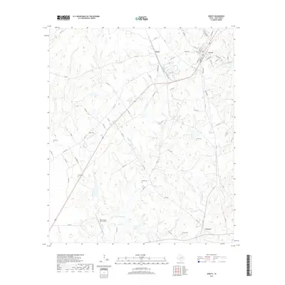 2019 Jewett2019 Print · USGSCovers Jewett, including Concord, Newby, and other nearby areas
 - 2022 Map of Donie, 2022 Print
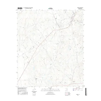
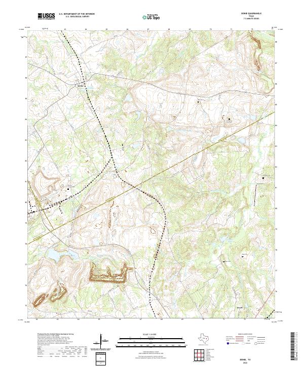 2022 Donie2022 Print · USGSThe rural borders of Leon and Freestone counties are captured here in the early twenty-first century, centered on the community of Donie. Researchers can trace old family burial sites at Post Oak Cem and Mays Cem or follow the waters of Buffalo Cr.
 - 2022 Map of Jewett, 2022 Print
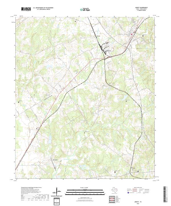 2022 Jewett2022 Print · USGSLeon County at the start of the 2020s shows a landscape of quiet rural settlements and deeply rooted family histories. Researchers can locate numerous local burial sites like Sardis Cem and Moore Cem or trace the many branches of Brushy Cr.
End of results
Showing maps 1-16 of 16
Top cities near Jewett
Frequently asked questions
- What are the different types of historical maps available for Jewett?
- What is the oldest map of Jewett?
- Where can I purchase historical maps of Jewett for my home or office?
- Where can I download high-res historical maps of Jewett?
- Are there historical topographic maps available for Jewett?
- Is there historical aerial imagery available for Jewett?
- Where are historical maps of Jewett sourced from?