Old Maps of Sheeks, Dayton for Academic Research
Study the evolution of Sheeks with 12 high-resolution historic maps. Whether you're teaching, researching, or modeling changes in land use, these maps provide essential visual documentation of urban, environmental, and geographic change.
- Analyze long-term change: Track patterns in development, transportation, and natural features.
- Ideal for environmental or urban studies: Support academic projects with primary historical map data.
- Use in the classroom or lab: Educators and researchers rely on these maps to bring historical context to life.
These maps are a powerful tool for teaching, research, and visualizing how Sheeks has changed over the decades.
Sheeks, Dayton maps
(12)- 1950 Map of Houston, 1953 Print
 1950 Houston1953 Print · USGSCoastal Texas in the early fifties reveals a landscape of massive civil engineering and industrial transit. Genealogists and researchers can trace the growth of the Houston suburbs and the maritime infrastructure of Galveston Bay, including the Gulf Freeway and the Texas City Dike.
 - 1956 Map of Houston, 1963 Print
 1956 Houston1963 Print · USGSSoutheast Texas in the mid-fifties is captured here as a powerhouse of oil and maritime trade. Genealogists and historians can trace the foundations of Houston and its ports, alongside landmarks like the Rice Institute and the Spindletop Oil Field.2 unique versions available
 - 1961 Map of Sheeks, 1964 Print
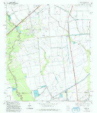
 1961 Sheeks1964 Print · USGSThe Liberty and Chambers county line comes alive in the early sixties as a hub of petroleum and irrigation. Trace the legacy of Esperson Dome Oil Field and Sheeks along the Southern Pacific tracks.
 - 1975 Map of Houston, 1977 Print
 1975 Houston1977 Print · USGSThe Texas Gulf Coast in the mid-seventies shows a sprawling Houston metropolis linked to the sea by the massive Houston Ship Channel. Researchers can trace the mid-century industrial landscape from the Astrodome to the Lyndon B. Johnson Space Center.2 unique versions available
 - 1982 Map of Sheeks
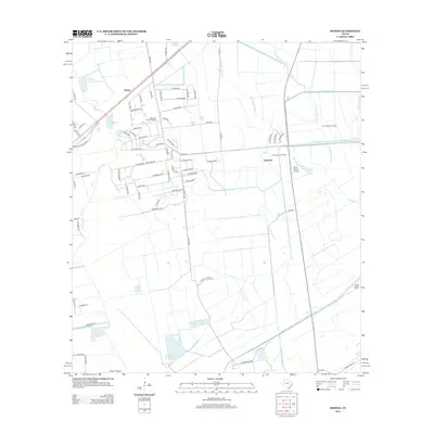
 1982 Sheeks1982 Print · USGSCoastal Texas industry and rural life meet in the early eighties as petroleum production and complex canal systems reshape the Liberty County landscape. Genealogists and historians can locate the Harvey Cem, the Esperson D.O.M.E. Oil Field, and the Sheeks rail siding.
 - 1983 Map of Anahuac
 1983 Anahuac1983 Print · USGSThe Upper Texas Coast and its energy-driven landscape are detailed here in the early eighties. Genealogists and historians can trace coastal settlements like Anahuac and Winnie alongside the storied Spindletop Oil Field and the Anahuac National Wildlife Refuge.2 unique versions available
 - 1993 Map of Sheeks, 1994 Print
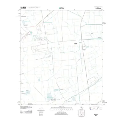
 1993 Sheeks1994 Print · USGSCoastal Texas in the early nineties reveals a landscape of heavy industry and intricate water management. Genealogists and historians can trace family ties at Harvey Cem or locate the sprawling Esperson Dome Oil Field near Gum Island.
 - 2010 Map of Sheeks, 2010 Print
 2010 Sheeks2010 Print · USGSCovers Sheeks, including Dayton, Mont Belvieu, and other nearby areas
 - 2013 Map of Sheeks, 2013 Print
 2013 Sheeks2013 Print · USGSCovers Sheeks, including Dayton, Mont Belvieu, and other nearby areas
 - 2016 Map of Sheeks, 2016 Print
 2016 Sheeks2016 Print · USGSCovers Sheeks, including Dayton, Mont Belvieu, and other nearby areas
 - 2019 Map of Sheeks, 2019 Print
 2019 Sheeks2019 Print · USGSCovers Sheeks, including Dayton, Mont Belvieu, and other nearby areas
 - 2022 Map of Sheeks, 2022 Print
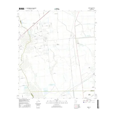
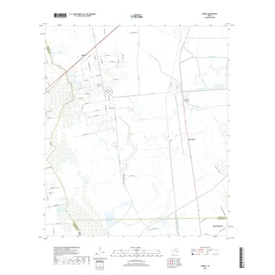
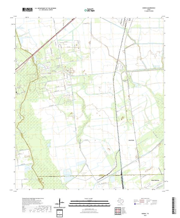 2022 Sheeks2022 Print · USGSCoastal Texas water management and county boundaries take center stage in the 2020s near the junction of Harris, Liberty, and Chambers counties. Genealogists can locate the Harvey Family Cem while researchers trace the extensive Dayton Canal and Lynchburg Canal networks.
End of results
Showing maps 1-12 of 12
Top cities near Sheeks
- Houston historical maps
- Atascocita historical maps
- Kingwood historical maps
- Baytown historical maps
- Channelview historical maps
- Highlands historical maps
See more
Frequently asked questions
- What are the different types of historical maps available for Sheeks?
- What is the oldest map of Sheeks?
- Where can I purchase historical maps of Sheeks for my home or office?
- Where can I download high-res historical maps of Sheeks?
- Are there historical topographic maps available for Sheeks?
- Is there historical aerial imagery available for Sheeks?
- Where are historical maps of Sheeks sourced from?