Old Maps of Higgins, Texas
Explore 15 old maps of Higgins, spanning from 1954 to today. These high-resolution historic maps reveal how streets, neighborhoods, landmarks, and natural features evolved over time — perfect for genealogy, metal detecting, research, and local history exploration.
What you can do with these maps:
- See how Higgins changed over time: Compare historical maps to modern-day views to trace roads, homesites, rail lines & more.
- View detailed metadata: Each map includes creators, publishers, year, scale, and archive source.
- Overlay maps with satellite & LiDAR: Visualize the past alongside modern tools to explore terrain & human change.
- Trusted historical sources: Maps sourced from the USGS, Library of Congress, and other archives.
- Access maps your way: View online, download high-res files, or order prints for personal or research use.
Start exploring old maps of Higgins to uncover forgotten places, hidden landmarks, and the deep history beneath your feet.
Higgins, TX maps
(15)- 1954 Map of Perryton, 1966 Print
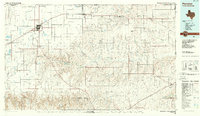
 1954 Perryton1966 Print · USGSThe High Plains of the Texas and Oklahoma panhandles are shown during a period of steady growth in the mid-1950s. Genealogists and researchers can trace rail history and local landmarks like Panhandle A & M College, Spurlock Chapel, and the isolated Lord Station.3 unique versions available
 - 1958 Map of Perryton
 1958 Perryton1958 Print · USGSThe Oklahoma Panhandle and Texas borderlands come alive in this mid-century survey, showing the vital rail-and-ranch economy of the High Plains. Researchers can trace historic stops along the Chicago Rock Island and Pacific and locate rural landmarks like Bethel Church and Spurlock Chapel.
 - 1972 Map of Higgins North, 1974 Print
 1972 Higgins North1974 Print · USGSThe Texas Panhandle meets the Oklahoma border in the early seventies, centered on the railroad town of Higgins. Researchers can trace the industrial landscape of the plains through numerous Gas Wells, the A T & S F tracks, and the local Cem.
 - 1972 Map of Higgins South, 1974 Print
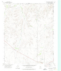
 1972 Higgins South1974 Print · USGSLipscomb County at the start of the 1970s shows a landscape defined by the Atchison Topeka and Santa Fe and the energy sector. Genealogists and researchers can trace the town of Higgins, its Municipal Airfield, and the Feldman Oil and Gas Field.
 - 1986 Map of Perryton
 1986 Perryton1986 Print · USGSThe High Plains and canyon breaks of the Texas Panhandle are captured here in the mid-eighties, showing the region's vital energy and rail corridors. Trace the path of the Atchison Topeka and Santa Fe through Perryton and Booker or locate remote rural outposts like Lipscomb and Higgins.
 - 2010 Map of Higgins South, 2010 Print
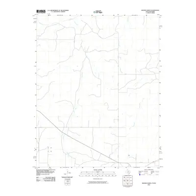
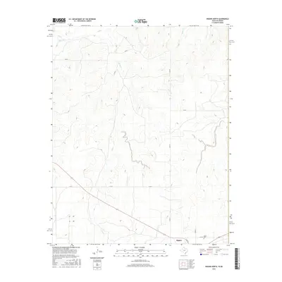
 2010 Higgins South2010 Print · USGSCovers Higgins, including Ellis County, Lipscomb County, and other nearby areas
 - 2010 Map of Higgins North, 2010 Print
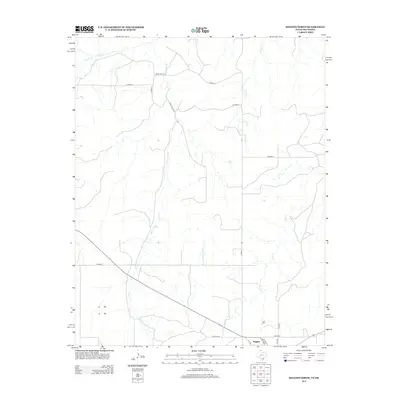
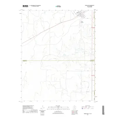
 2010 Higgins North2010 Print · USGSCovers Higgins, including Ellis County, Lipscomb County, and other nearby areas
 - 2012 Map of Higgins South, 2012 Print
 2012 Higgins South2012 Print · USGSCovers Higgins, including Ellis County, Lipscomb County, and other nearby areas
 - 2012 Map of Higgins North, 2012 Print
 2012 Higgins North2012 Print · USGSCovers Higgins, including Ellis County, Lipscomb County, and other nearby areas
 - 2016 Map of Higgins South, 2016 Print
 2016 Higgins South2016 Print · USGSCovers Higgins, including Ellis County, Lipscomb County, and other nearby areas
 - 2016 Map of Higgins North, 2016 Print
 2016 Higgins North2016 Print · USGSCovers Higgins, including Ellis County, Lipscomb County, and other nearby areas
 - 2019 Map of Higgins South, 2019 Print
 2019 Higgins South2019 Print · USGSCovers Higgins, including Ellis County, Lipscomb County, and other nearby areas
 - 2019 Map of Higgins North, 2019 Print
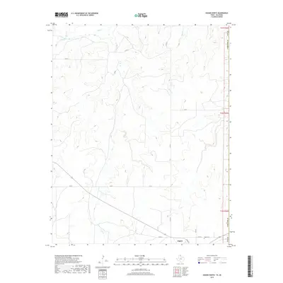 2019 Higgins North2019 Print · USGSCovers Higgins, including Ellis County, Lipscomb County, and other nearby areas
 - 2022 Map of Higgins South, 2022 Print
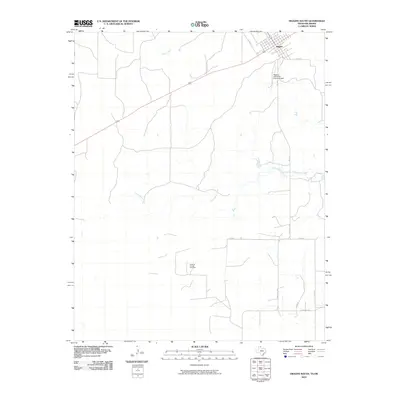
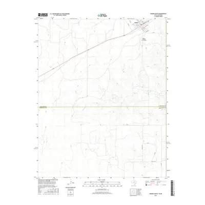
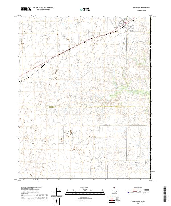 2022 Higgins South2022 Print · USGSThe northeastern Texas Panhandle comes into focus during the early 2020s, centered on the community of Higgins near the Oklahoma border. Genealogists and local historians can trace street-level detail on Commercial St or locate the Higgins/Lipscomb County Airport and the winding course of Commission Cr.
 - 2022 Map of Higgins North, 2022 Print
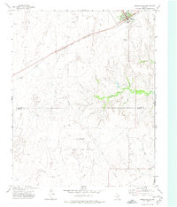
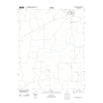
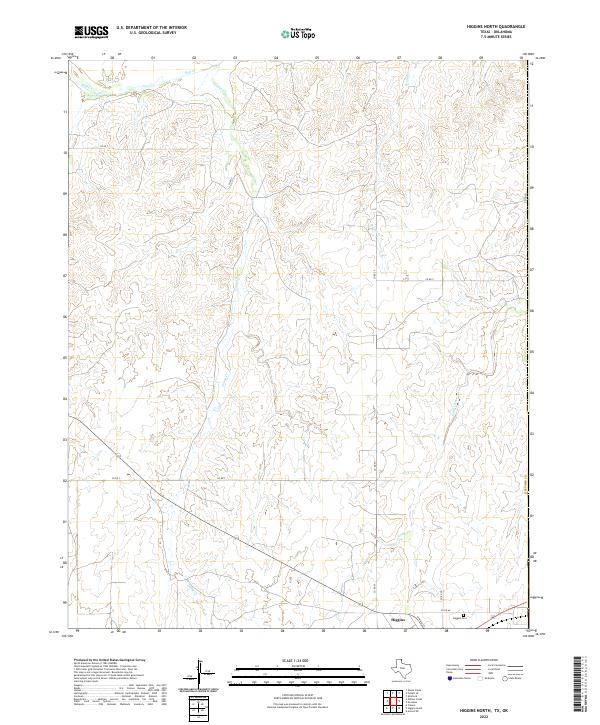 2022 Higgins North2022 Print · USGSThe northeastern Panhandle comes to life in this study of the Texas-Oklahoma borderlands just north of Higgins. Researchers can trace the local cemetery at Higgins Cem and follow the intricate drainage of Wolf Cr and Long Creek across the high plains.
End of results
Showing maps 1-15 of 15
Top cities near Higgins
Frequently asked questions
- What are the different types of historical maps available for Higgins?
- What is the oldest map of Higgins?
- Where can I purchase historical maps of Higgins for my home or office?
- Where can I download high-res historical maps of Higgins?
- Are there historical topographic maps available for Higgins?
- Is there historical aerial imagery available for Higgins?
- Where are historical maps of Higgins sourced from?