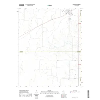
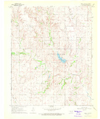
2019 Map of Higgins South
USGS Topo · Published 2019About this map
Higgins occupies the northeastern corner of this landscape, situated right at the boundary where the Texas Panhandle meets Oklahoma. The town's grid is oriented around a transportation corridor that includes Main St, Commercial St, and Railroad St, reflecting a community designed around its rail and road connections. South of the town center, the terrain opens into the expansive ranch lands of the Panhandle, where the Higgins-Lipscomb County Airport serves the local region.
Find a feature on this map
32 named features on this map. Tap any name to fly to it.
Don’t see what you’re looking for? This feature index may not catch every label — zoom into the map to look around manually.
Map Details
Editions of this 2019 Higgins South Map
This is the sole edition of this map. No revisions or reprints were ever made.
Other maps of this area

1954 · Perryton
USGS Topo · 1:250,000
1954 · Amarillo
USGS Topo · 1:250,000

1955 · Clinton
USGS Topo · 1:250,000

1955 · Woodward
USGS Topo · 1:250,000

1957 · Clinton
USGS Topo · 1:250,000

1958 · Perryton
USGS Topo · 1:250,000

1958 · Woodward
USGS Topo · 1:250,000
1958 · Amarillo
USGS Topo · 1:250,000
1966 · Antelope Hills
USGS Topo · 1:24,000
1970 · Arnett SW
USGS Topo · 1:24,000