Old Maps of Eagle Pass, Texas for Academic Research
Study the evolution of Eagle Pass with 16 high-resolution historic maps. Whether you're teaching, researching, or modeling changes in land use, these maps provide essential visual documentation of urban, environmental, and geographic change.
- Analyze long-term change: Track patterns in development, transportation, and natural features.
- Ideal for environmental or urban studies: Support academic projects with primary historical map data.
- Use in the classroom or lab: Educators and researchers rely on these maps to bring historical context to life.
These maps are a powerful tool for teaching, research, and visualizing how Eagle Pass has changed over the decades.
Eagle Pass, TX maps
(16)- 1940 Map of Eagle Pass, 1959 Print
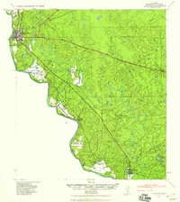 1940 Eagle Pass1959 Print · USGSMaverick County sits along the winding bend of the Rio Grande during the early days of the Second World War. Researchers can trace numerous family-named landmarks and agricultural holdings like Milton Frank Farms, La Rosita Ranch, and the Sullivan Ranch.
 - 1958 Map of Eagle Pass, 1969 Print
 1958 Eagle Pass1969 Print · USGSThe borderlands of South Texas come alive in this mid-century look at the ranching and rail corridor along the Rio Grande. Genealogists and historians can trace legacy holdings like San Pedro Ranch, find the Maverick Canal network, and locate rail sidings at Darling.2 unique versions available
 - 1965 Map of Eagle Pass
 1965 Eagle Pass1965 Print · USGSThe Texas-Mexico borderlands come into focus in the mid-1960s, centered on the river life and ranching culture of Maverick County. Researchers can trace the legacy of major landholdings like Burr Ranch and Loma Linda Ranch alongside landmarks like the Hydroelectric Plant.
 - 1983 Map of Eagle Pass East
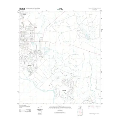
 1983 Eagle Pass East1983 Print · USGSThe Texas-Mexico borderlands come into focus in the early 1980s as the river winds south of Maverick County. Researchers can trace the layout of Seco Mines, locate the Eagle Pass Municipal Airport, and find early irrigation works along the Canal.
 - 1983 Map of Eagle Pass West
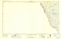
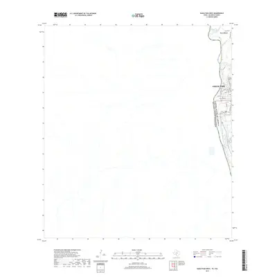
 1983 Eagle Pass West1983 Print · USGSThe international border at the Rio Grande defines this 1980s landscape, where the Texas city of Eagle Pass meets the streets of Piedras Negras. Local researchers can trace family names and settlements like Fuentes, San Joaquin, and Las Esperanzas.2 unique versions available
 - 1985 Map of Eagle Pass
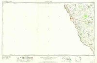
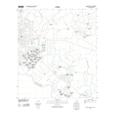
 1985 Eagle Pass1985 Print · USGSThe Texas-Mexico borderlands come into focus in the mid-1980s as Eagle Pass grows along the Rio Grande. Genealogists and historians can trace the rail corridor of the Southern Pacific and locate rural communities like Normandy and El Indio.
 - 2010 Map of Eagle Pass West, 2010 Print
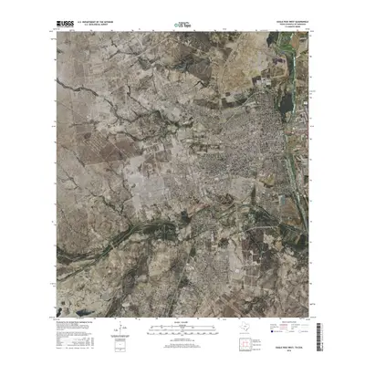
 2010 Eagle Pass West2010 Print · USGSCovers Eagle Pass, including Piedras Negras, Colonia Venustiano Carranza, and other nearby areas
 - 2010 Map of Eagle Pass East, 2010 Print
 2010 Eagle Pass East2010 Print · USGSCovers Eagle Pass, including Chula Vista, Las Quintas Fronterizas, and other nearby areas
 - 2012 Map of Eagle Pass West, 2012 Print
 2012 Eagle Pass West2012 Print · USGSCovers Eagle Pass, including Piedras Negras, Colonia Venustiano Carranza, and other nearby areas
 - 2012 Map of Eagle Pass East, 2012 Print
 2012 Eagle Pass East2012 Print · USGSCovers Eagle Pass, including Chula Vista, Las Quintas Fronterizas, and other nearby areas
 - 2016 Map of Eagle Pass West, 2016 Print
 2016 Eagle Pass West2016 Print · USGSCovers Eagle Pass, including Piedras Negras, Colonia Venustiano Carranza, and other nearby areas
 - 2016 Map of Eagle Pass East, 2016 Print
 2016 Eagle Pass East2016 Print · USGSCovers Eagle Pass, including Chula Vista, Las Quintas Fronterizas, and other nearby areas
 - 2019 Map of Eagle Pass West, 2019 Print
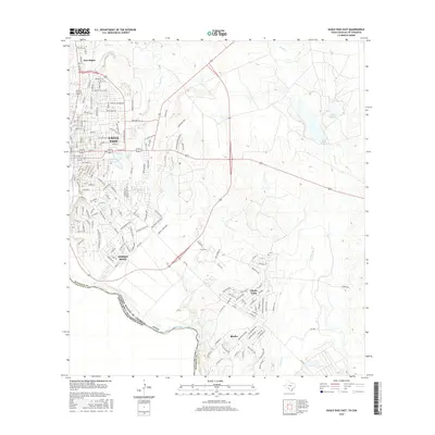
 2019 Eagle Pass West2019 Print · USGSCovers Eagle Pass, including Piedras Negras, Colonia Venustiano Carranza, and other nearby areas
 - 2019 Map of Eagle Pass East, 2019 Print
 2019 Eagle Pass East2019 Print · USGSCovers Eagle Pass, including Chula Vista, Las Quintas Fronterizas, and other nearby areas
 - 2022 Map of Eagle Pass East, 2022 Print
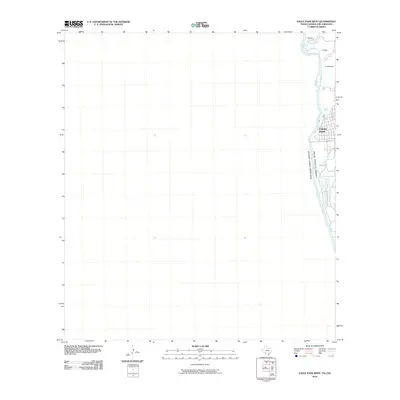
 2022 Eagle Pass East2022 Print · USGSThe international border at Maverick County comes alive in this 2020s study of the riverfront and its expanding communities. Trace local history through the Maverick County Cemetary and explore the growth of Eagle Pass and Chula Vista along the Rio Grande.
 - 2022 Map of Eagle Pass West, 2022 Print
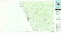
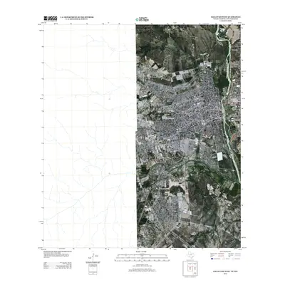
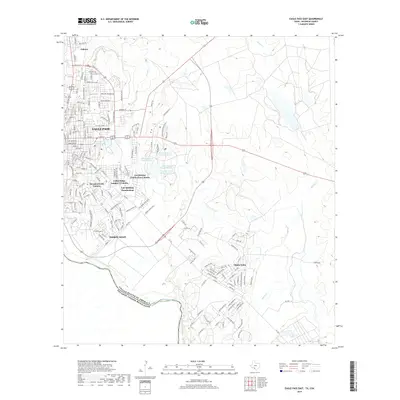
 2022 Eagle Pass West2022 Print · USGSThe international border at Eagle Pass is shown in detail during the early 2020s, tracing the winding Rio Grande and the city's urban grid. Researchers can locate the Maverick County Courthouse and the industrial activity near Seco Mines.
End of results
Showing maps 1-16 of 16
Top cities near Eagle Pass
- Chula Vista historical maps
- Rosita historical maps
- Las Quintas Fronterizas historical maps
- El Indio historical maps
Top neighborhoods of Eagle Pass
Frequently asked questions
- What are the different types of historical maps available for Eagle Pass?
- What is the oldest map of Eagle Pass?
- Where can I purchase historical maps of Eagle Pass for my home or office?
- Where can I download high-res historical maps of Eagle Pass?
- Are there historical topographic maps available for Eagle Pass?
- Is there historical aerial imagery available for Eagle Pass?
- Where are historical maps of Eagle Pass sourced from?