Old Maps of Ross, Texas
Explore 24 old maps of Ross, spanning from 1892 to today. These high-resolution historic maps reveal how streets, neighborhoods, landmarks, and natural features evolved over time — perfect for genealogy, metal detecting, research, and local history exploration.
What you can do with these maps:
- See how Ross changed over time: Compare historical maps to modern-day views to trace roads, homesites, rail lines & more.
- View detailed metadata: Each map includes creators, publishers, year, scale, and archive source.
- Overlay maps with satellite & LiDAR: Visualize the past alongside modern tools to explore terrain & human change.
- Trusted historical sources: Maps sourced from the USGS, Library of Congress, and other archives.
- Access maps your way: View online, download high-res files, or order prints for personal or research use.
Start exploring old maps of Ross to uncover forgotten places, hidden landmarks, and the deep history beneath your feet.
Ross, TX maps
(24)- 1892 Map of Waco
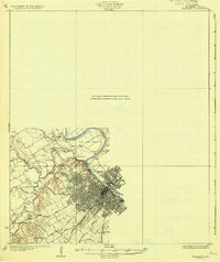
 1892 Waco1892 Print · USGSCentral Texas was rapidly expanding during the 1890s as a rail and river commerce hub. Genealogists and researchers can trace the early footprints of Waco and its surrounding communities like China Springs, Valley Mills, and West along five distinct railway lines.6 unique versions available
 - 1920 Map of Waco
 1920 Waco1920 Print · USGSWaco and its surrounding rail corridors are captured in high detail shortly after the first World War. Researchers can trace the legacy of Rifle Range Camp MacArthur and vanished river crossings like Greenwoods Ferry and Old Towash.
 - 1931 Map of Elm Mott
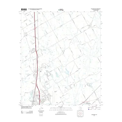
 1931 Elm Mott1931 Print · USGSThe Waco area in the early thirties shows the city expanding toward the confluence of the Brazos and Bosque Rivers. Researchers can trace family roots through East Waco and McArthur Heights or locate rural landmarks like Whitehall Ch and Cameron Bridge.3 unique versions available
 - 1954 Map of Waco, 1964 Print
 1954 Waco1964 Print · USGSCentral Texas during the mid-fifties shows a landscape defined by the expansion of Fort Hood Military Reservation and the Brazos river system. Trace the rail lines and early airfields like James Connally Air Force Base and settlements like Temple or McGregor.2 unique versions available
 - 1955 Map of Waco
 1955 Waco1955 Print · USGSCentral Texas at the peak of the Cold War reveals a landscape defined by military expansion and major water projects. Researchers can trace the footprints of Fort Hood, the waters of Lake Waco, and regional hubs like Temple or Mexia.
 - 1956 Map of West, 1957 Print
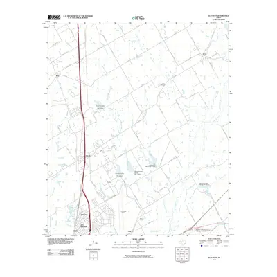
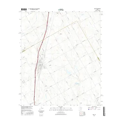
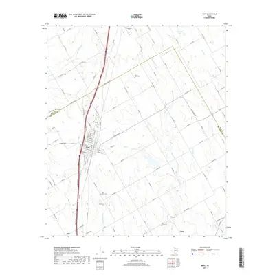
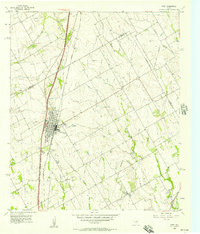 1956 West1957 Print · USGSWest and the McLennan-Hill county line are captured here in the mid-1950s at a peak of rail and road connectivity. Researchers can trace family roots at National Cem or locate community hubs like the St Martins Sch and the local Rodeo Stadium.2 unique versions available
 - 1957 Map of Gholson, 1958 Print
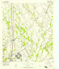
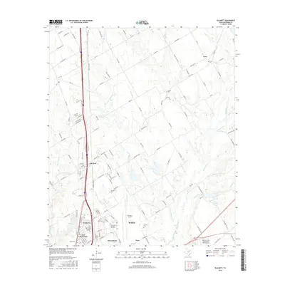
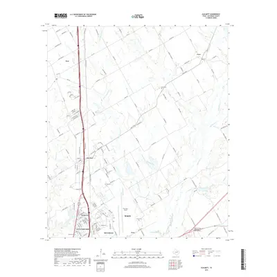
 1957 Gholson1958 Print · USGSMcLennan County in the late fifties shows a landscape shaped by the Brazos River and the Missouri Kansas Texas railroad. Genealogists can trace family names through numerous sites like Gholson Cemetery, Wesley Chapel, and the Gholson School.3 unique versions available
 - 1957 Map of Elm Mott, 1958 Print
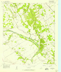
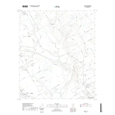
 1957 Elm Mott1958 Print · USGSMcLennan County during the mid-fifties is captured here as a landscape of military aviation and railroad junctions. Researchers can trace the layout of the James Connally Air Force Base or locate local landmarks like Lindert Hall and Gerald Cemetery.3 unique versions available
 - 1985 Map of Waco
 1985 Waco1985 Print · USGSCentral Texas in the mid-eighties shows a landscape of river-fed lakes and bustling transit hubs as the region expanded. Genealogists and historians can trace rail lines like the Missouri Kansas Texas or locate sites such as Rosemound Cem and Meridian State Park.2 unique versions available
 - 2010 Map of Elm Mott, 2010 Print
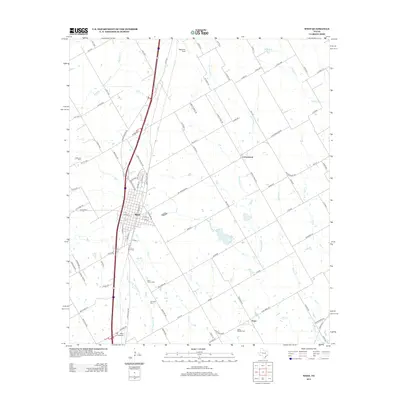
 2010 Elm Mott2010 Print · USGSCovers Ross, including Waco, Bellmead, and other nearby areas
 - 2010 Map of Gholson, 2010 Print
 2010 Gholson2010 Print · USGSCovers Ross, including Waco, Lacy Lakeview, and other nearby areas
 - 2010 Map of West, 2010 Print
 2010 West2010 Print · USGSCovers Ross, including West, Leroy, and other nearby areas
 - 2012 Map of Gholson, 2012 Print
 2012 Gholson2012 Print · USGSCovers Ross, including Waco, Lacy Lakeview, and other nearby areas
 - 2012 Map of West, 2012 Print
 2012 West2012 Print · USGSCovers Ross, including West, Leroy, and other nearby areas
 - 2013 Map of Elm Mott, 2013 Print
 2013 Elm Mott2013 Print · USGSCovers Ross, including Waco, Bellmead, and other nearby areas
 - 2016 Map of West, 2016 Print
 2016 West2016 Print · USGSCovers Ross, including West, Leroy, and other nearby areas
 - 2016 Map of Elm Mott, 2016 Print
 2016 Elm Mott2016 Print · USGSCovers Ross, including Waco, Bellmead, and other nearby areas
 - 2016 Map of Gholson, 2016 Print
 2016 Gholson2016 Print · USGSCovers Ross, including Waco, Lacy Lakeview, and other nearby areas
 - 2019 Map of West, 2019 Print
 2019 West2019 Print · USGSCovers Ross, including West, Leroy, and other nearby areas
 - 2019 Map of Elm Mott, 2019 Print
 2019 Elm Mott2019 Print · USGSCovers Ross, including Waco, Bellmead, and other nearby areas
 - 2019 Map of Gholson, 2019 Print
 2019 Gholson2019 Print · USGSCovers Ross, including Waco, Lacy Lakeview, and other nearby areas
 - 2022 Map of Gholson, 2022 Print
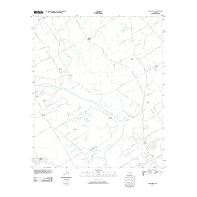
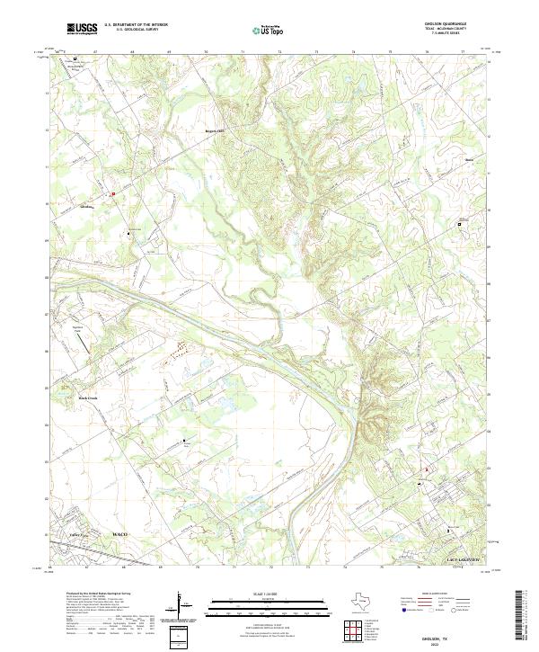 2022 Gholson2022 Print · USGSThe Brazos River valley north of Waco comes into focus in this recent survey of McLennan County. Genealogists and local historians can locate several historic burial sites, including White Rock Cem, Moore Cem, and the Pleasant Grove Cem.
 - 2022 Map of Elm Mott, 2022 Print
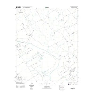
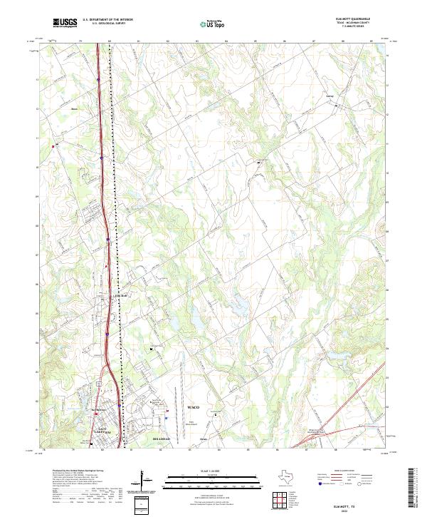 2022 Elm Mott2022 Print · USGSNorth of Waco during the early 2020s, this area shows a mix of rural prairie life and aviation hubs. Genealogists can locate family sites like Stanfield Walker Cemetery and Elm Mott Cemetery while tracing the waters of Tehuacana Creek.
 - 2022 Map of West, 2022 Print
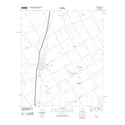
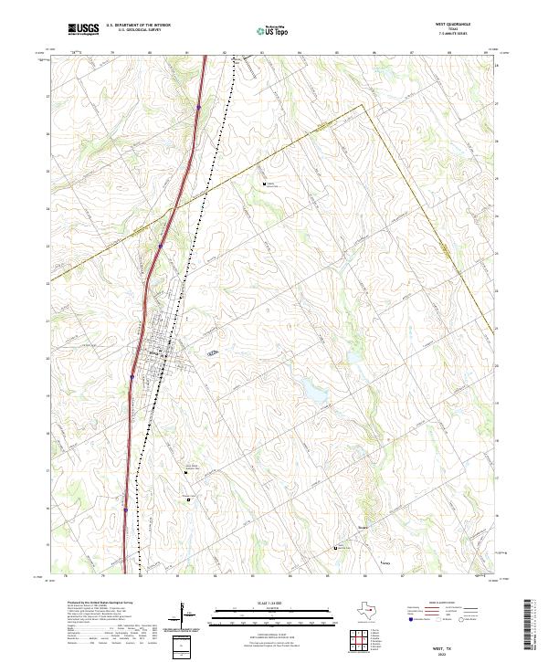 2022 West2022 Print · USGSCentral Texas prairie and transit corridors define the landscape near West and Leroy during the early 2020s. Genealogists can locate several local burial grounds including Liberty Grove Cem and the Saint Marys Catholic Cem.
End of results
Showing maps 1-24 of 24
Top cities near Ross
- Waco historical maps
- Robinson historical maps
- Bellmead historical maps
- Woodway historical maps
- Hillsboro historical maps
- Lacy Lakeview historical maps
See more
Frequently asked questions
- What are the different types of historical maps available for Ross?
- What is the oldest map of Ross?
- Where can I purchase historical maps of Ross for my home or office?
- Where can I download high-res historical maps of Ross?
- Are there historical topographic maps available for Ross?
- Is there historical aerial imagery available for Ross?
- Where are historical maps of Ross sourced from?