Old Maps of Castroville, Texas for Hiking & Exploration
Hike through history with 15 historic maps of Castroville. Explore old trails, ghost towns, and forgotten backroads — perfect for outdoor adventurers and local explorers.
- Rediscover forgotten places: Map out old mining camps, roads, and footpaths that no longer exist on modern maps.
- Layer with modern tools: Combine with LiDAR or satellite views to plan hikes through historical terrain.
- Made for exploration: Popular among hikers, overlanders, and local history lovers.
Use these maps to find adventure and explore the hidden past of Castroville.
Castroville, TX maps
(15)- 1954 Map of San Antonio, 1964 Print
 1954 San Antonio1964 Print · USGSSan Antonio and the Texas Hill Country are captured here in the mid-fifties, showing a landscape defined by massive military air bases and the rising Canyon Reservoir. Trace family ties through historic rail towns like D'Hanis and Castroville or explore the Cold War footprint of Lackland AFB and Randolph AFB.3 unique versions available
 - 1957 Map of San Antonio
 1957 San Antonio1957 Print · USGSSan Antonio and the Texas Hill Country are shown here during the mid-fifties, capturing the region's expanding post-war military and transportation footprint. Genealogists and local historians can trace the early residential boundaries of Alamo Heights or locate rural landmarks like St Hedwig and Medina Lake.
 - 1958 Map of La Coste, 1961 Print
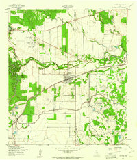 1958 La Coste1961 Print · USGSMedina County during the late fifties shows a rural landscape shaped by the Medina River and the expanding irrigation systems of South Texas. Researchers can find long-standing landmarks like Our Lady of Grace Sch and the Castroville Air Force Auxiliary Field.3 unique versions available
 - 1964 Map of Castroville, 1966 Print
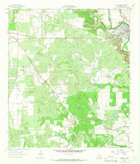 1964 Castroville1966 Print · USGSThe Alsatian-settled landscape of Medina County is captured here in the mid-sixties, from the bends of the Medina River to the rail siding at Dunlay. Trace family history and land use through labels like Chacowalla Water Hole, Bader, and the Southern Pacific line.2 unique versions available
 - 1985 Map of San Antonio
 1985 San Antonio1985 Print · USGSSan Antonio and its surrounding hill country are captured in the mid-eighties during a period of significant suburban and military expansion. Genealogists and historians can trace the footprint of Kelly Air Force Base, old rail lines like the Missouri-Kansas-Texas, and smaller communities like Saspamco or Zuehl.3 unique versions available
 - 2010 Map of La Coste, 2010 Print
 2010 La Coste2010 Print · USGSCovers Castroville, including Pearson, La Coste, and other nearby areas
 - 2010 Map of Castroville, 2010 Print
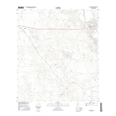
 2010 Castroville2010 Print · USGSCovers Castroville, including Bader, Dunlay, and other nearby areas
 - 2013 Map of Castroville, 2013 Print
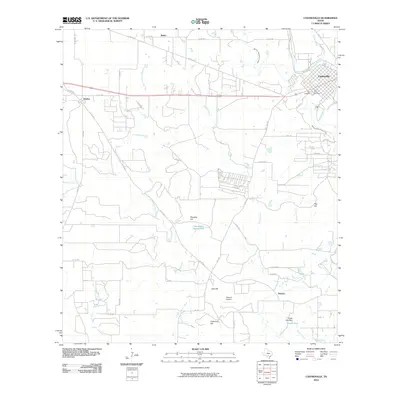
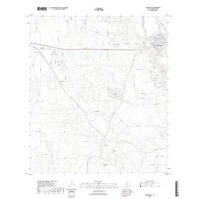
 2013 Castroville2013 Print · USGSCovers Castroville, including Bader, Dunlay, and other nearby areas
 - 2013 Map of La Coste, 2013 Print
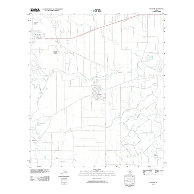
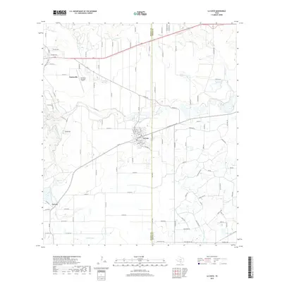
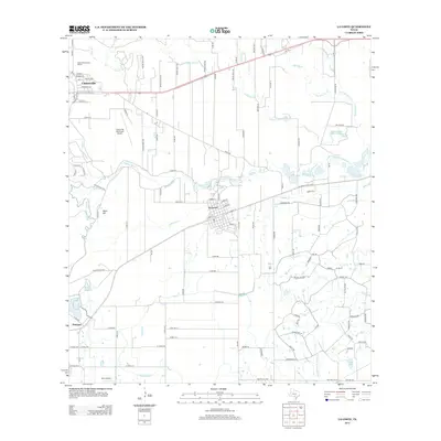 2013 La Coste2013 Print · USGSCovers Castroville, including Pearson, La Coste, and other nearby areas
 - 2016 Map of La Coste, 2016 Print
 2016 La Coste2016 Print · USGSCovers Castroville, including Pearson, La Coste, and other nearby areas
 - 2016 Map of Castroville, 2016 Print
 2016 Castroville2016 Print · USGSCovers Castroville, including Bader, Dunlay, and other nearby areas
 - 2019 Map of La Coste, 2019 Print
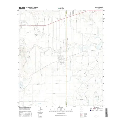
 2019 La Coste2019 Print · USGSCovers Castroville, including Pearson, La Coste, and other nearby areas
 - 2019 Map of Castroville, 2019 Print
 2019 Castroville2019 Print · USGSCovers Castroville, including Bader, Dunlay, and other nearby areas
 - 2022 Map of Castroville, 2022 Print
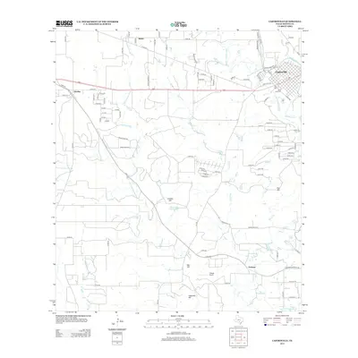
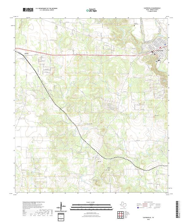 2022 Castroville2022 Print · USGSMedina County comes into focus in this contemporary survey, highlighting the unique European-inspired street plan of Castroville and its rural outskirts. Genealogists can trace several local burial sites, including Saint Louis Cem and the DeMontel Family Cem.
 - 2022 Map of La Coste, 2022 Print
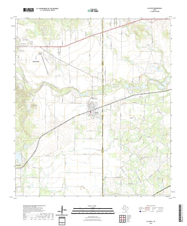 2022 La Coste2022 Print · USGSThe Medina River valley comes into sharp focus during this modern era of Texas ranching and irrigation. Genealogists and researchers can trace family lands near LaCoste and Pearson, or locate burials at Our Lady of Grace Cem.
End of results
Showing maps 1-15 of 15
Top cities near Castroville
- San Antonio historical maps
- Helotes historical maps
- Devine historical maps
- Lytle historical maps
- Somerset historical maps
- Natalia historical maps
See more
Frequently asked questions
- What are the different types of historical maps available for Castroville?
- What is the oldest map of Castroville?
- Where can I purchase historical maps of Castroville for my home or office?
- Where can I download high-res historical maps of Castroville?
- Are there historical topographic maps available for Castroville?
- Is there historical aerial imagery available for Castroville?
- Where are historical maps of Castroville sourced from?