Old Maps of Milano, Texas
Explore 15 old maps of Milano, spanning from 1954 to today. These high-resolution historic maps reveal how streets, neighborhoods, landmarks, and natural features evolved over time — perfect for genealogy, metal detecting, research, and local history exploration.
What you can do with these maps:
- See how Milano changed over time: Compare historical maps to modern-day views to trace roads, homesites, rail lines & more.
- View detailed metadata: Each map includes creators, publishers, year, scale, and archive source.
- Overlay maps with satellite & LiDAR: Visualize the past alongside modern tools to explore terrain & human change.
- Trusted historical sources: Maps sourced from the USGS, Library of Congress, and other archives.
- Access maps your way: View online, download high-res files, or order prints for personal or research use.
Start exploring old maps of Milano to uncover forgotten places, hidden landmarks, and the deep history beneath your feet.
Milano, TX maps
(15)- 1954 Map of Austin, 1964 Print
 1954 Austin1964 Print · USGSCentral Texas is captured during a period of steady growth as the capital city and its neighboring farm towns began to modernize. Researchers can trace historic rail corridors like the Southern Pacific RR or locate landmarks such as Bergstrom Air Force Base and Pilot Knob.4 unique versions available
 - 1956 Map of Milano
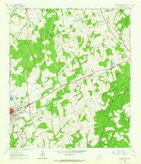
 1956 Milano1956 Print · USGSRailroad junctions and rural post offices define this Milam County landscape during the early twentieth century. Genealogists and historians can locate family-named landmarks like Septimus) Olson or trace the early paths of the San Antonio and Aransas Pass Railway.
 - 1961 Map of Rockdale East, 1964 Print
 1961 Rockdale East1964 Print · USGSThe eastern edge of Rockdale and the surrounding Milam County prairie are captured in the early sixties, showing a landscape defined by rail lines and rural community centers. Family historians can trace local landmarks like Aycock Sch, San Jose Cem, and Mt Zion Ch.3 unique versions available
 - 1962 Map of Milano, 1964 Print
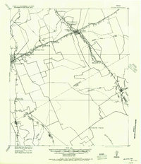
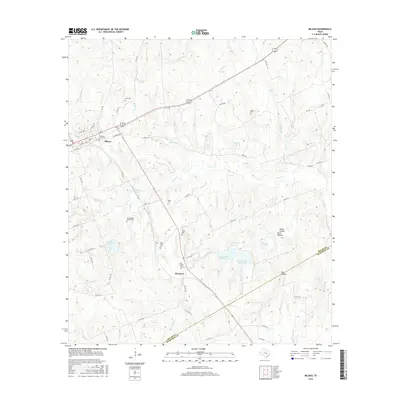
 1962 Milano1964 Print · USGSRailroad history and rural community life converge in early 1960s Texas at the busy junction of the Missouri Pacific and Santa Fe lines. Local researchers can trace family roots through landmarks like Sand Grove Ch, Hurt Cem, and the settlement at Elevation.2 unique versions available
 - 1993 Map of Bryan
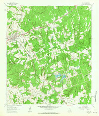
 1993 Bryan1993 Print · USGSBrazos Valley life in the early nineties centered on the rapid growth of College Station and the agricultural heartbeat of the river bottomlands. Genealogists and historians can trace the paths of the Kings Highway, several rail lines, and local landmarks like City Cem and Texas A&M University.
 - 2010 Map of Rockdale East, 2010 Print
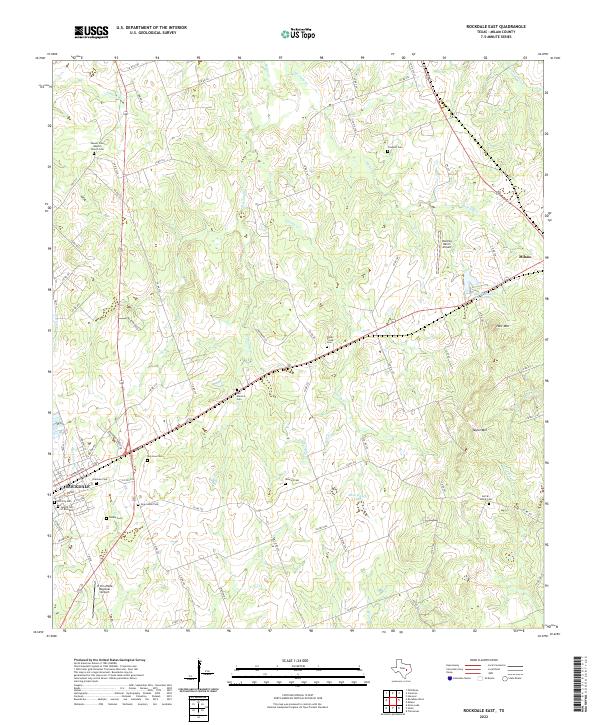
 2010 Rockdale East2010 Print · USGSCovers Milano, including Rockdale, Milam County, and other nearby areas
 - 2010 Map of Milano, 2010 Print
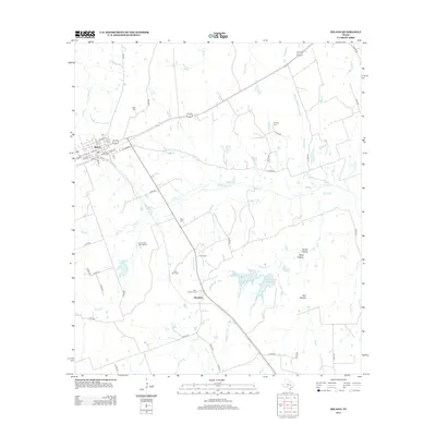
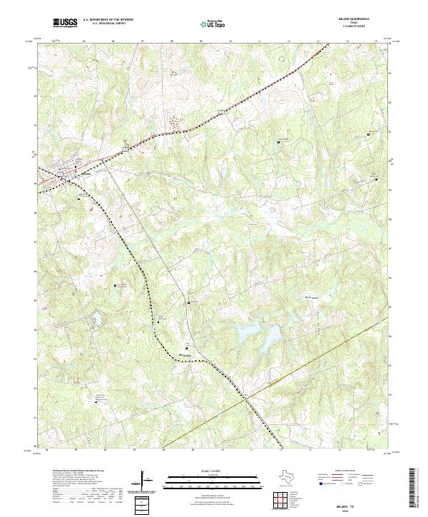
 2010 Milano2010 Print · USGSCovers Milano, including Elevation, Milam County, and other nearby areas
 - 2013 Map of Milano, 2013 Print
 2013 Milano2013 Print · USGSCovers Milano, including Elevation, Milam County, and other nearby areas
 - 2013 Map of Rockdale East, 2013 Print
 2013 Rockdale East2013 Print · USGSCovers Milano, including Rockdale, Milam County, and other nearby areas
 - 2016 Map of Rockdale East, 2016 Print
 2016 Rockdale East2016 Print · USGSCovers Milano, including Rockdale, Milam County, and other nearby areas
 - 2016 Map of Milano, 2016 Print
 2016 Milano2016 Print · USGSCovers Milano, including Elevation, Milam County, and other nearby areas
 - 2019 Map of Milano, 2019 Print
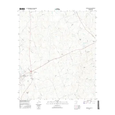
 2019 Milano2019 Print · USGSCovers Milano, including Elevation, Milam County, and other nearby areas
 - 2019 Map of Rockdale East, 2019 Print
 2019 Rockdale East2019 Print · USGSCovers Milano, including Rockdale, Milam County, and other nearby areas
 - 2022 Map of Rockdale East, 2022 Print
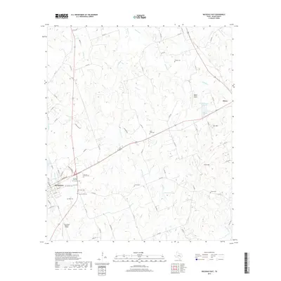
 2022 Rockdale East2022 Print · USGSMilam County's eastern cattle and ranch lands come into focus in this recent survey of the area between Rockdale and Milano. Local historians can trace numerous legacy burial sites like the Jewish Cemetery and Sefcik - Kohut Cemetery.
 - 2022 Map of Milano, 2022 Print
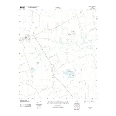
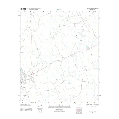
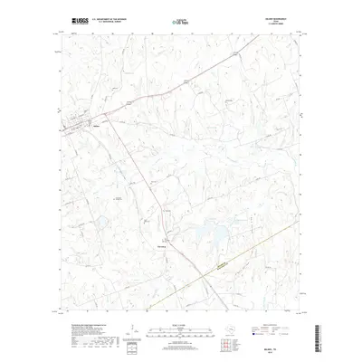
 2022 Milano2022 Print · USGSMilano and the rural borderlands of Milam and Burleson counties are captured here in the early twenty-first century. Genealogists can locate numerous local burial sites including Smyrna Cem, Santana Ruiz Cemeterio, and the Foster Family Cem.
End of results
Showing maps 1-15 of 15
Top cities near Milano
Frequently asked questions
- What are the different types of historical maps available for Milano?
- What is the oldest map of Milano?
- Where can I purchase historical maps of Milano for my home or office?
- Where can I download high-res historical maps of Milano?
- Are there historical topographic maps available for Milano?
- Is there historical aerial imagery available for Milano?
- Where are historical maps of Milano sourced from?