Old Maps of Colorado City, Texas for Genealogy
Trace your family roots with 15 historic maps of Colorado City. These high-res maps reveal old neighborhoods, homesites, landmarks, and streets — helping you uncover where your ancestors lived and how the area evolved over time.
- Explore historic neighborhoods: Identify where your relatives may have lived in the 1800s or 1900s.
- Compare maps over time: Trace the changes in streets, buildings, and landmarks for multi-generational research.
- Perfect for genealogy & ancestry research: Used by family historians and researchers to map out lineage and migration.
These maps are an incredible resource for exploring your personal connection to Colorado City's past.
Colorado City, TX maps
(15)- 1950 Map of Cedar Bend
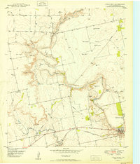 1950 Cedar Bend1950 Print · USGSThe Colorado River valley north of Colorado City reveals a mid-century landscape of oil extraction and rural settlement. Researchers can trace family history at Handley Cem or locate industrial landmarks like the Colo-Tex Refinery and the Texas and Pacific rail line.3 unique versions available
 - 1952 Map of Colorado City, 1953 Print
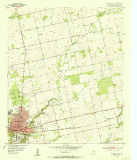 1952 Colorado City1953 Print · USGSColorado City and the surrounding Mitchell County plains are captured here in the early fifties, showing a landscape defined by the Texas and Pacific railroad. Genealogists can locate family landmarks like Zions Rest Cem, Faith Chapel, and the Longfellow Sch.2 unique versions available
 - 1954 Map of Big Spring, 1965 Print
 1954 Big Spring1965 Print · USGSWest Texas in the mid-1950s shows a landscape of growing oil towns and vital rail links along the Texas and Pacific RR. Researchers can trace the development of Big Spring, find smaller settlements like Knott and Lomax, or locate landmarks such as Boyds Chapel and Signal Mountain.4 unique versions available
 - 1958 Map of Big Spring
 1958 Big Spring1958 Print · USGSThe West Texas oil boom was in full swing during the late fifties, transforming the landscape around Howard and Mitchell counties. Genealogists and historians can trace the growth of Big Spring and Snyder alongside industrial landmarks like the Kelly-Snyder Oil Field and the Santa Fe rail lines.
 - 1985 Map of Sweetwater
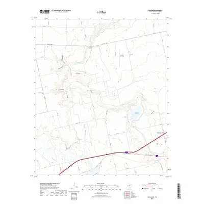
 1985 Sweetwater1985 Print · USGSNolan County and the surrounding ranchlands are shown during the mid-eighties as the local economy balanced rail transport and energy production. Researchers can trace the path of the Missouri Pacific RR through Roscoe or locate rural landmarks like Ft Chadbourne and the Bauman School.2 unique versions available
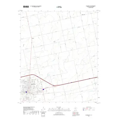
 - 2010 Map of Colorado City, 2010 Print
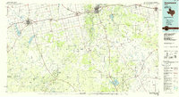
 2010 Colorado City2010 Print · USGSCovers Colorado City, including Buford, Valley View, and other nearby areas
 - 2010 Map of Cedar Bend, 2010 Print
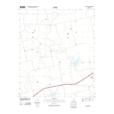 2010 Cedar Bend2010 Print · USGSCovers Colorado City, including Mitchell County, United States, and other nearby areas
 - 2012 Map of Cedar Bend, 2012 Print
 2012 Cedar Bend2012 Print · USGSCovers Colorado City, including Mitchell County, United States, and other nearby areas
 - 2012 Map of Colorado City, 2012 Print
 2012 Colorado City2012 Print · USGSCovers Colorado City, including Buford, Valley View, and other nearby areas
 - 2016 Map of Colorado City, 2016 Print
 2016 Colorado City2016 Print · USGSCovers Colorado City, including Buford, Valley View, and other nearby areas
 - 2016 Map of Cedar Bend, 2016 Print
 2016 Cedar Bend2016 Print · USGSCovers Colorado City, including Mitchell County, United States, and other nearby areas
 - 2019 Map of Colorado City, 2019 Print
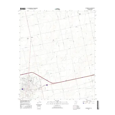
 2019 Colorado City2019 Print · USGSCovers Colorado City, including Buford, Valley View, and other nearby areas
 - 2019 Map of Cedar Bend, 2019 Print
 2019 Cedar Bend2019 Print · USGSCovers Colorado City, including Mitchell County, United States, and other nearby areas
 - 2022 Map of Cedar Bend, 2022 Print
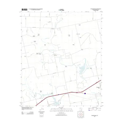
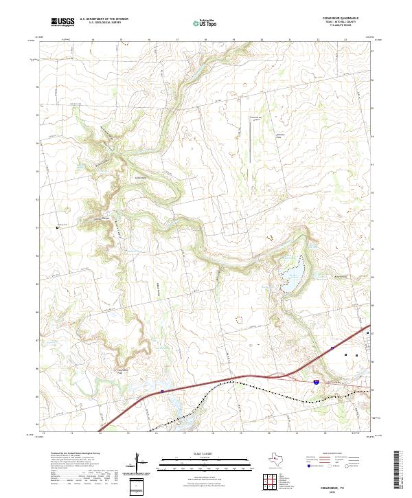 2022 Cedar Bend2022 Print · USGSMitchell County ranchlands and river breaks come into focus in the early 2020s, showing a landscape defined by the Colorado River and its rugged canyons. Researchers can trace family-named landmarks like Handley Cem, McGuire Spring, and Clay Smith Peak.
 - 2022 Map of Colorado City, 2022 Print
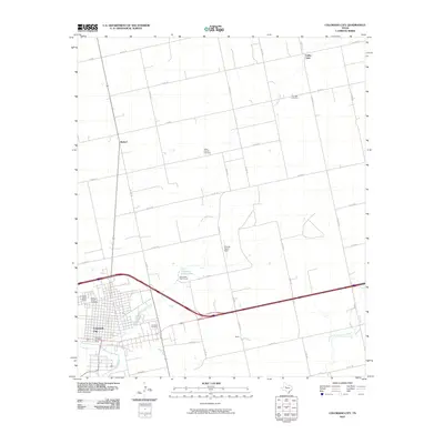
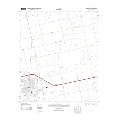
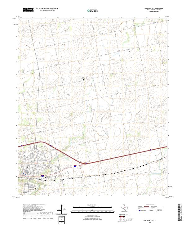 2022 Colorado City2022 Print · USGSColorado City and its rural Mitchell County surroundings are captured in this modern survey of the West Texas landscape. Researchers can trace family history through sites like White Church Cem and Zions Rest Cem or locate the Mitchell County Courthouse.
End of results
Showing maps 1-15 of 15
Top cities near Colorado City
Frequently asked questions
- What are the different types of historical maps available for Colorado City?
- What is the oldest map of Colorado City?
- Where can I purchase historical maps of Colorado City for my home or office?
- Where can I download high-res historical maps of Colorado City?
- Are there historical topographic maps available for Colorado City?
- Is there historical aerial imagery available for Colorado City?
- Where are historical maps of Colorado City sourced from?