
1950 Map of Cedar Bend
USGS Topo · Published 1950About this map
Colorado River water systems and early energy infrastructure dominate this West Texas landscape at mid-century. Near the river's winding path through the Cedar Bend and south toward the Colo-Tex Refinery, the map illustrates a network of extraction and transit, featuring an extensive Oil Field, a Tank Farm, and several Underground Pipe Line corridors. The presence of multiple specialized water features, such as Little Blue Hole and Logsdon Reservoir, underscores the vital importance of water management in the arid Shinnery Flats.
Find a feature on this map
39 named features on this map. Tap any name to fly to it.
Don’t see what you’re looking for? This feature index may not catch every label — zoom into the map to look around manually.
Map Details
Editions of this 1950 Cedar Bend Map
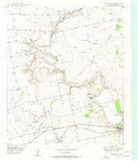
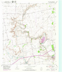
Other maps of this area

1950 · Lake Colorado City
USGS Topo · 1:24,000

1950 · Colorado City SE
USGS Topo · 1:24,000

1951 · Ira
USGS Topo · 1:24,000

1951 · Dunn
USGS Topo · 1:24,000

1952 · Cuthbert
USGS Topo · 1:24,000

1952 · Westbrook
USGS Topo · 1:24,000

1952 · China Grove
USGS Topo · 1:24,000

1952 · Colorado City
USGS Topo · 1:24,000

1954 · Big Spring
USGS Topo · 1:250,000

1958 · Big Spring
USGS Topo · 1:250,000