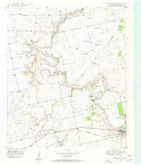
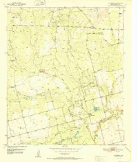
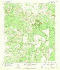
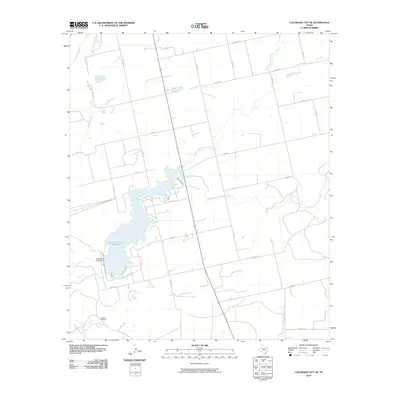
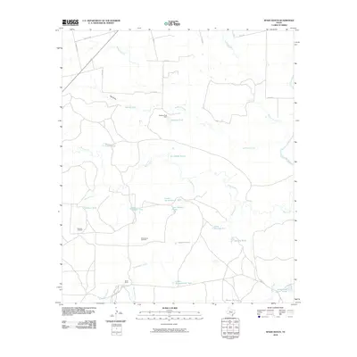
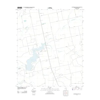
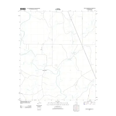
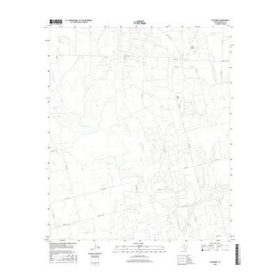
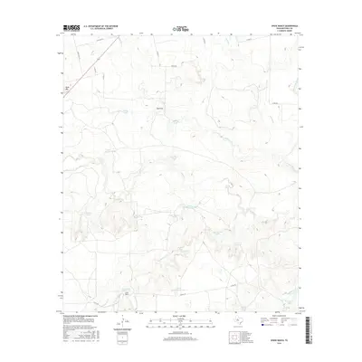
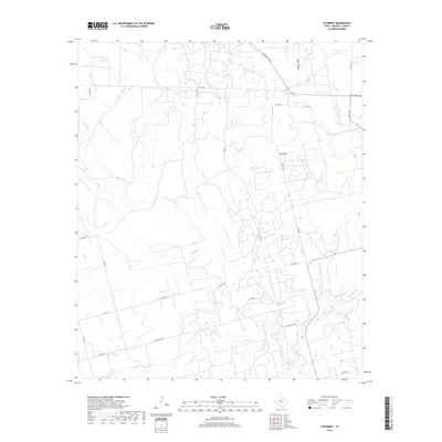
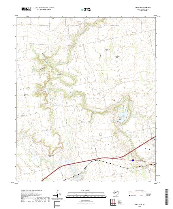
1950 Map of Cedar Bend
USGS Topo · Published 1977About this map
The Colorado River carves a winding path through this West Texas landscape, dominated by the sharp relief of North Fork Canyon and McGuire Canyon. Along the river’s namesake Cedar Bend, the terrain is marked by essential water infrastructure for the ranching economy, including the Wheat Pasture Tank and numerous windmills like the Buzzard Windmill scattered across the Shinnery Flats.
Find a feature on this map
39 named features on this map. Tap any name to fly to it.
Don’t see what you’re looking for? This feature index may not catch every label — zoom into the map to look around manually.
Map Details
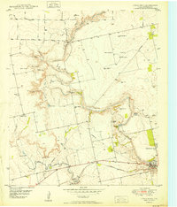
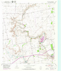
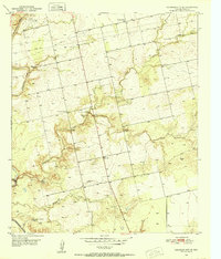
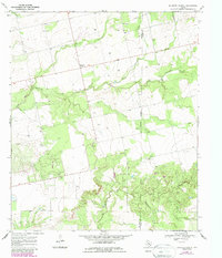
Editions of this 1950 Cedar Bend Map
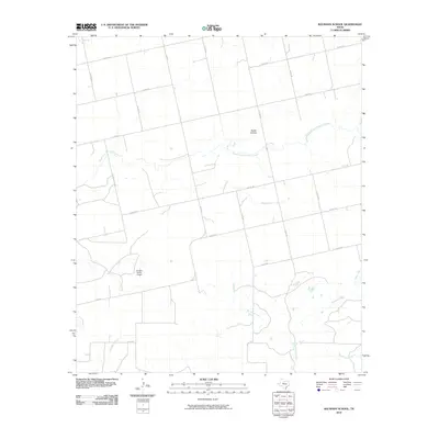
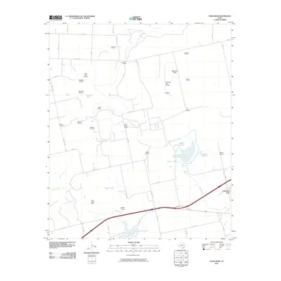
Historical Maps of Colorado City Through Time
48 maps found
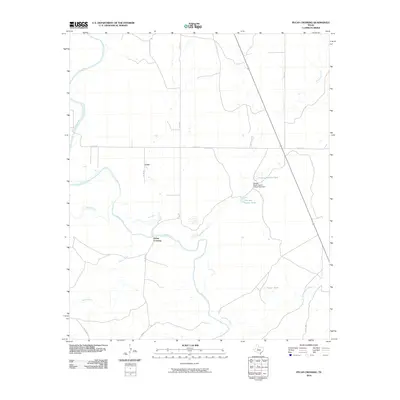
1950 Cedar Bend
Mitchell County, TX
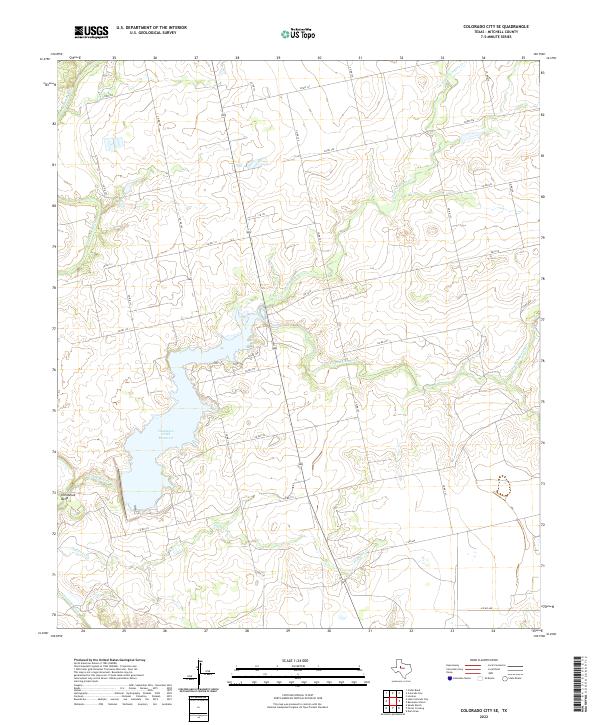
1950 Colorado City SE
Mitchell County, TX
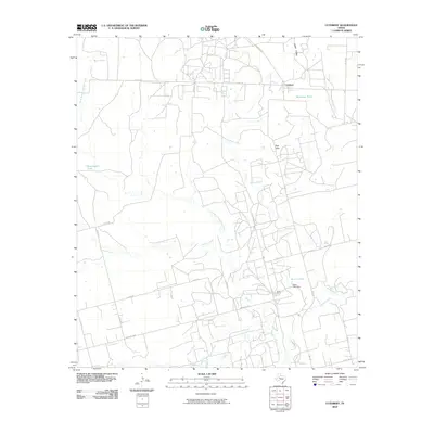
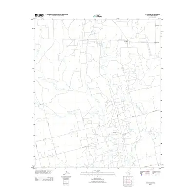
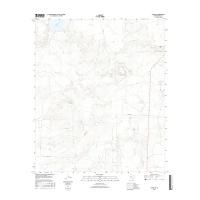
1952 Cuthbert
Mitchell County, TX
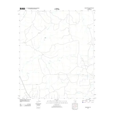
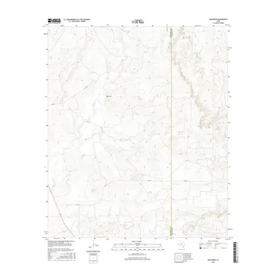
1959 Dam Draw
Mitchell County, TX
1959 Pecan Crossing
Mitchell County, TX
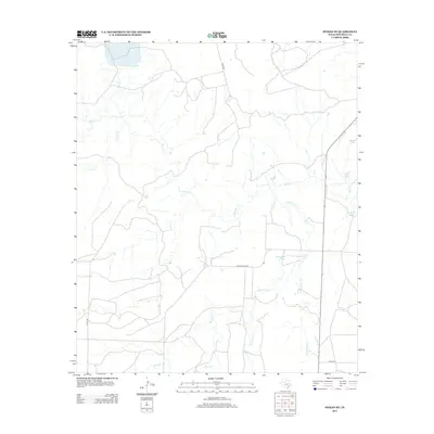
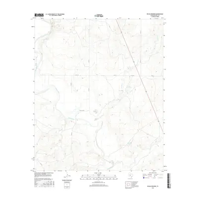
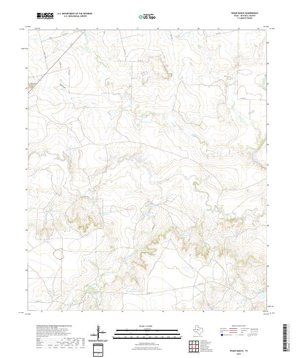
1959 Spade Ranch
Mitchell County, TX
1962 Hyman NE
Mitchell County, TX
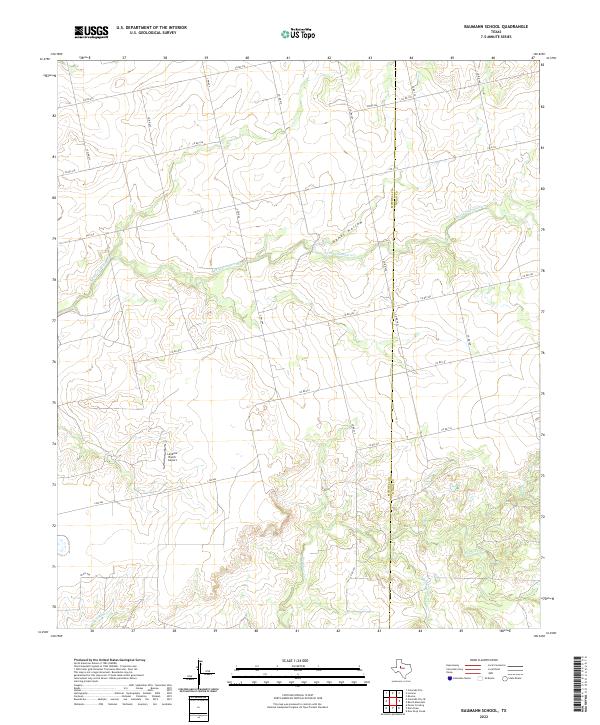
1969 Baumann School
Mitchell County, TX
2010 Baumann School
Mitchell County, TX
2010 Cedar Bend
Mitchell County, TX
2010 Colorado City SE
Mitchell County, TX
2010 Cuthbert
Mitchell County, TX
2010 Dam Draw
Mitchell County, TX
2010 Hyman NE
Mitchell County, TX
2010 Pecan Crossing
Mitchell County, TX
2010 Spade Ranch
Mitchell County, TX
2012 Baumann School
Mitchell County, TX
2012 Cedar Bend
Mitchell County, TX
2012 Colorado City SE
Mitchell County, TX
2012 Cuthbert
Mitchell County, TX
2012 Dam Draw
Mitchell County, TX
2012 Hyman NE
Mitchell County, TX
2012 Pecan Crossing
Mitchell County, TX
2012 Spade Ranch
Mitchell County, TX
2016 Baumann School
Mitchell County, TX

2016 Cedar Bend
Mitchell County, TX
2016 Colorado City SE
Mitchell County, TX
2016 Cuthbert
Mitchell County, TX
2016 Dam Draw
Mitchell County, TX
2016 Hyman NE
Mitchell County, TX
2016 Pecan Crossing
Mitchell County, TX
2016 Spade Ranch
Mitchell County, TX
2019 Baumann School
Mitchell County, TX
2019 Cedar Bend
Mitchell County, TX
2019 Colorado City SE
Mitchell County, TX
2019 Cuthbert
Mitchell County, TX
2019 Dam Draw
Mitchell County, TX
2019 Hyman NE
Mitchell County, TX
2019 Pecan Crossing
Mitchell County, TX
2019 Spade Ranch
Mitchell County, TX
2022 Baumann School
Mitchell County, TX
2022 Cedar Bend
Mitchell County, TX
2022 Colorado City SE
Mitchell County, TX
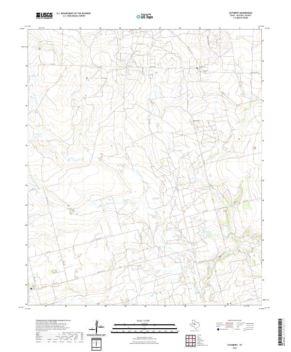
2022 Cuthbert
Mitchell County, TX
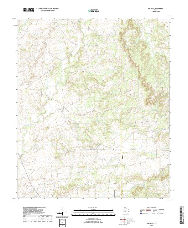
2022 Dam Draw
Mitchell County, TX
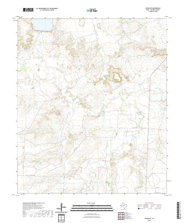
2022 Hyman NE
Mitchell County, TX
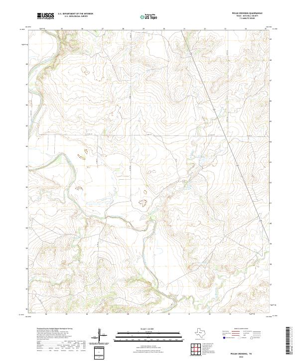
2022 Pecan Crossing
Mitchell County, TX
2022 Spade Ranch
Mitchell County, TX