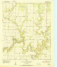
1951 Map of Dunn
USGS Topo · Published 1951This historical map portrays the area of Dunn in 1951, primarily covering Scurry County as well as portions of Mitchell County. Featuring a scale of 1:24000, this map provides a highly detailed snapshot of the terrain, roads, buildings, counties, and historical landmarks in the Dunn region at the time. Published in 1951, it is one of 2 known editions of this map due to revisions or reprints.
Map Details
Editions of this 1951 Dunn Map
2 editions found
Historical Maps of Scurry County Through Time
14 maps found
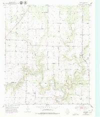
1951 Dunn
Scurry County, TX
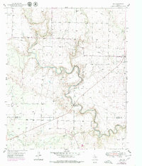
1951 Ira
Scurry County, TX
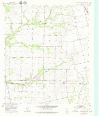
1952 China Grove
Scurry County, TX
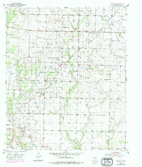
1952 Ira NE
Scurry County, TX
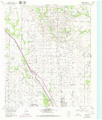
1954 Brand
Scurry County, TX
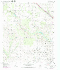
1954 Dermott
Scurry County, TX
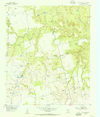
1954 Lloyd Mountain
Scurry County, TX
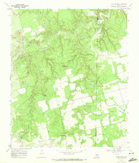
1969 Camp Springs
Scurry County, TX
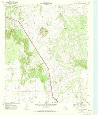
1969 Flat Top Mountain
Scurry County, TX
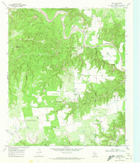
1969 Hudd
Scurry County, TX
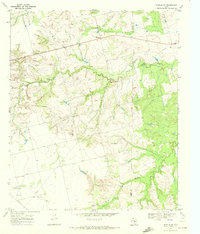
1969 Inadale NW
Scurry County, TX
1969 Inadale
Scurry County, TX
1969 Maverick Creek
Scurry County, TX
1969 McKenzie Mountains
Scurry County, TX