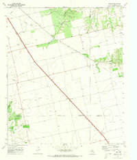
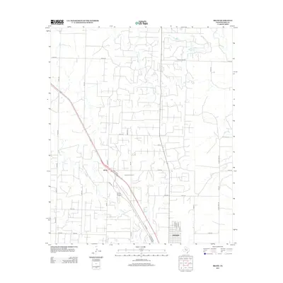
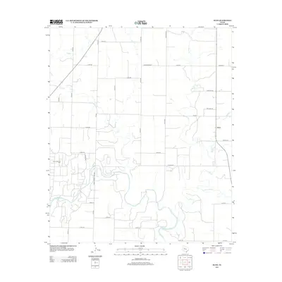
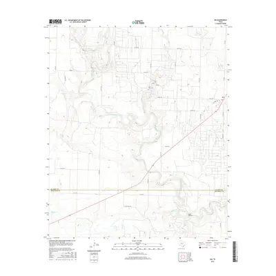
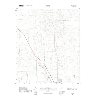
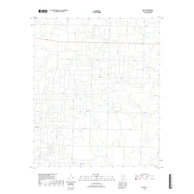
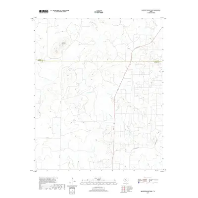
1952 Map of Ira NE
USGS Topo · Published 1979About this map
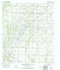
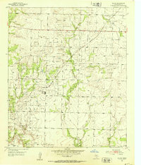
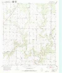
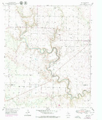
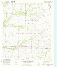
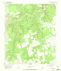
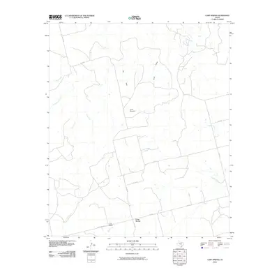
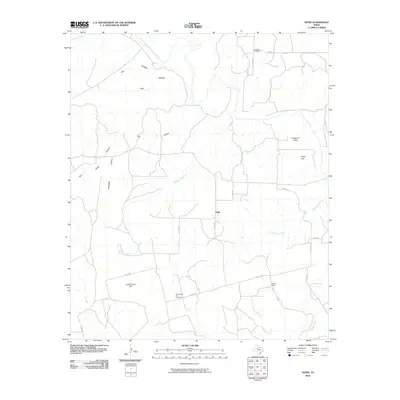
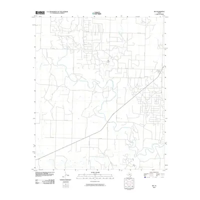
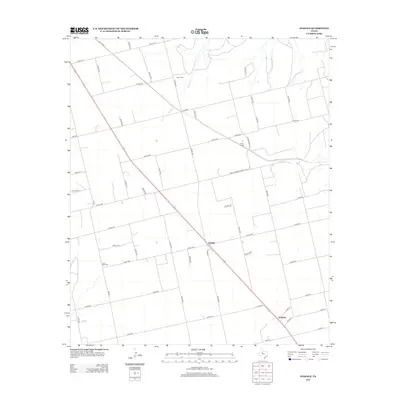
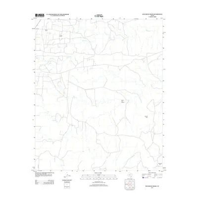
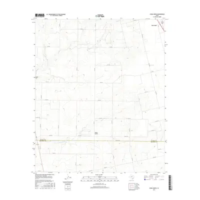
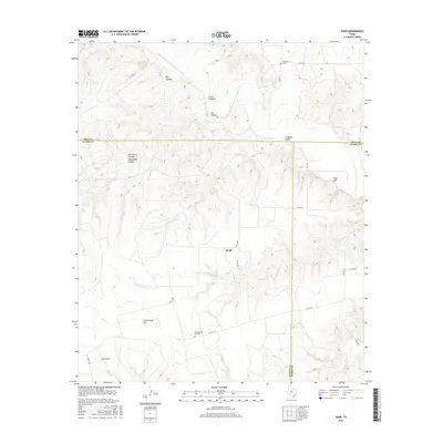
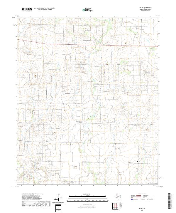
The West Texas landscape of Scurry County is defined here by a network of seasonal watercourses and the industrial infrastructure of the mid-century petroleum era. Knapp PO serves as a small anchor in the southwestern corner, accompanied by Knapp Ch, while the Panhandle and Santa Fe railroad cuts across the northern terrain, passing through the locality of Franklin Center.
Find a feature on this map
14 named features on this map. Tap any name to fly to it.
Don’t see what you’re looking for? This feature index may not catch every label — zoom into the map to look around manually.
Map Details
Editions of this 1952 Ira NE Map
2 editions found
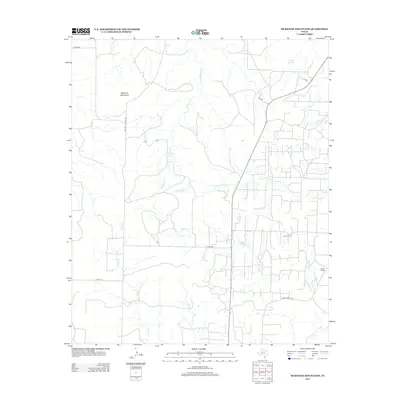
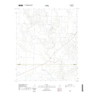
Historical Maps of Franklin Center Through Time
84 maps found
1951 Dunn
Scurry County, TX
1951 Ira
Scurry County, TX
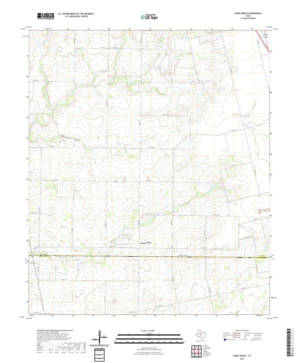
1952 China Grove
Scurry County, TX
1952 Ira NE
Scurry County, TX
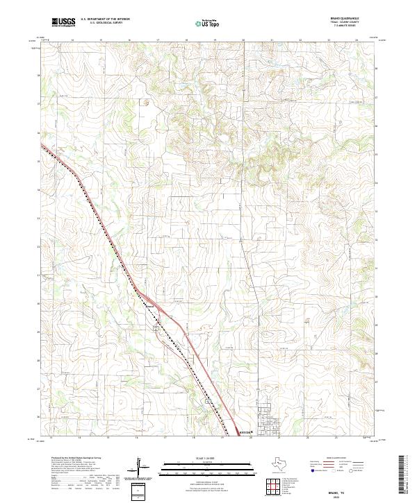
1954 Brand
Scurry County, TX
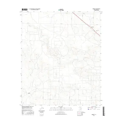
1954 Dermott
Scurry County, TX
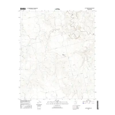
1954 Lloyd Mountain
Scurry County, TX
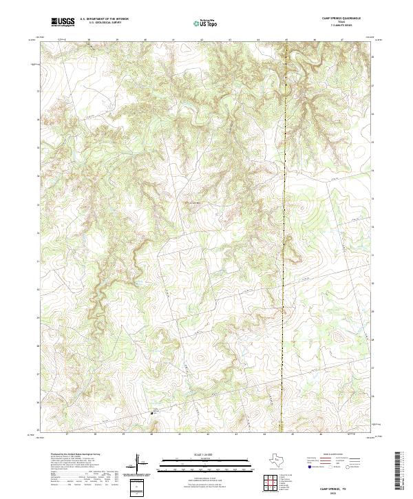
1969 Camp Springs
Scurry County, TX
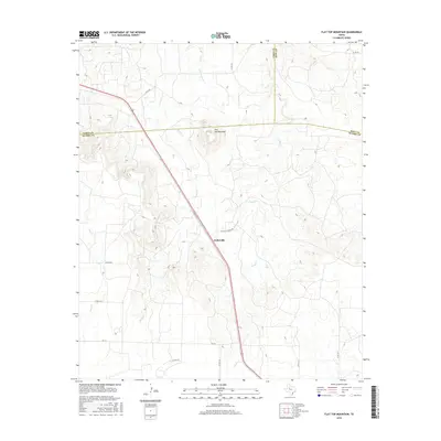
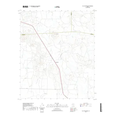
1969 Flat Top Mountain
Scurry County, TX
1969 Hudd
Scurry County, TX
1969 Inadale NW
Scurry County, TX
1969 Inadale
Scurry County, TX
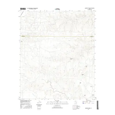
1969 Maverick Creek
Scurry County, TX
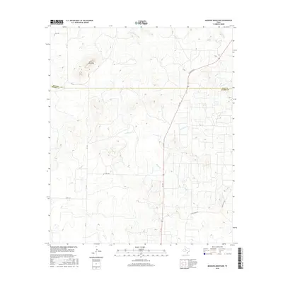
1969 McKenzie Mountains
Scurry County, TX
2010 Brand
Scurry County, TX
2010 Camp Springs
Scurry County, TX
2010 China Grove
Scurry County, TX

2010 Dermott
Scurry County, TX
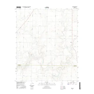
2010 Dunn
Scurry County, TX
2010 Flat Top Mountain
Scurry County, TX
2010 Hudd
Scurry County, TX
2010 Inadale NW
Scurry County, TX
2010 Inadale
Scurry County, TX
2010 Ira NE
Scurry County, TX
2010 Ira
Scurry County, TX
2010 Lloyd Mountain
Scurry County, TX
2010 Maverick Creek
Scurry County, TX
2010 McKenzie Mountains
Scurry County, TX
2012 Brand
Scurry County, TX
2012 Camp Springs
Scurry County, TX
2012 China Grove
Scurry County, TX
2012 Dermott
Scurry County, TX
2012 Dunn
Scurry County, TX
2012 Flat Top Mountain
Scurry County, TX
2012 Hudd
Scurry County, TX
2012 Inadale NW
Scurry County, TX
2012 Inadale
Scurry County, TX
2012 Ira NE
Scurry County, TX
2012 Ira
Scurry County, TX
2012 Lloyd Mountain
Scurry County, TX
2012 Maverick Creek
Scurry County, TX
2012 McKenzie Mountains
Scurry County, TX
2016 Brand
Scurry County, TX
2016 Camp Springs
Scurry County, TX
2016 China Grove
Scurry County, TX
2016 Dermott
Scurry County, TX
2016 Dunn
Scurry County, TX
2016 Flat Top Mountain
Scurry County, TX
2016 Hudd
Scurry County, TX
2016 Inadale NW
Scurry County, TX
2016 Inadale
Scurry County, TX
2016 Ira NE
Scurry County, TX
2016 Ira
Scurry County, TX
2016 Lloyd Mountain
Scurry County, TX
2016 Maverick Creek
Scurry County, TX
2016 McKenzie Mountains
Scurry County, TX
2019 Brand
Scurry County, TX
2019 Camp Springs
Scurry County, TX
2019 China Grove
Scurry County, TX
2019 Dermott
Scurry County, TX

2019 Dunn
Scurry County, TX
2019 Flat Top Mountain
Scurry County, TX
2019 Hudd
Scurry County, TX
2019 Inadale NW
Scurry County, TX
2019 Inadale
Scurry County, TX
2019 Ira NE
Scurry County, TX
2019 Ira
Scurry County, TX
2019 Lloyd Mountain
Scurry County, TX
2019 Maverick Creek
Scurry County, TX
2019 McKenzie Mountains
Scurry County, TX
2022 Brand
Scurry County, TX
2022 Camp Springs
Scurry County, TX
2022 China Grove
Scurry County, TX
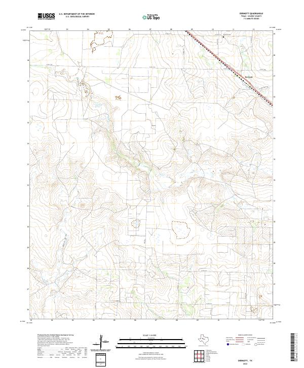
2022 Dermott
Scurry County, TX
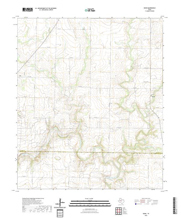
2022 Dunn
Scurry County, TX
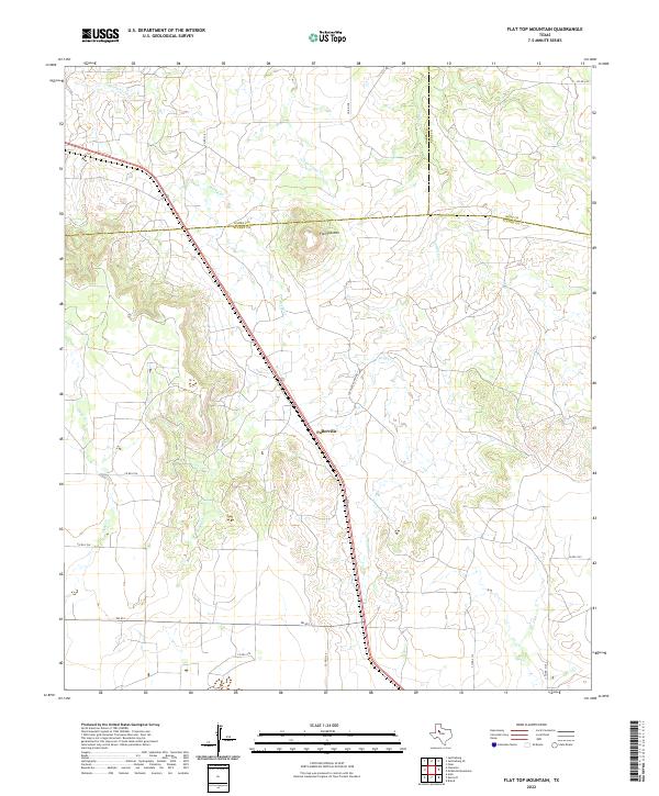
2022 Flat Top Mountain
Scurry County, TX
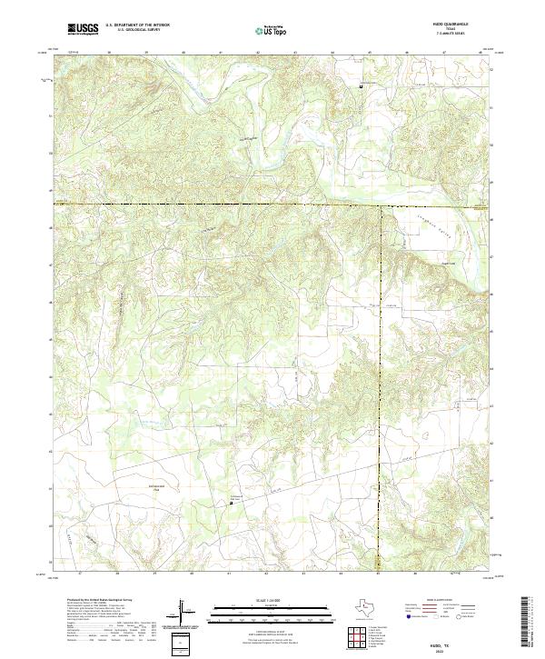
2022 Hudd
Scurry County, TX
2022 Inadale NW
Scurry County, TX
2022 Inadale
Scurry County, TX
2022 Ira NE
Scurry County, TX
2022 Ira
Scurry County, TX
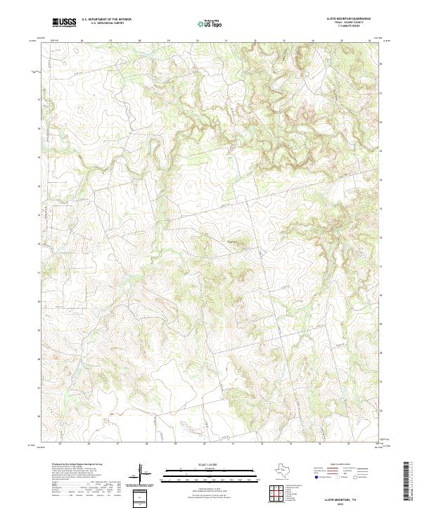
2022 Lloyd Mountain
Scurry County, TX
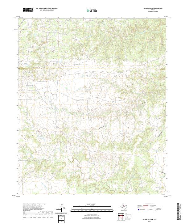
2022 Maverick Creek
Scurry County, TX
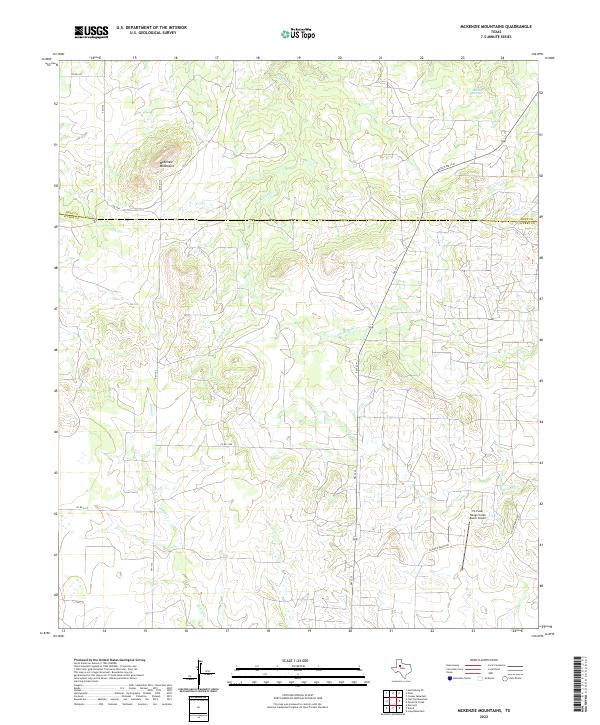
2022 McKenzie Mountains
Scurry County, TX