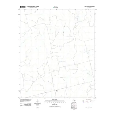
2010 Map of Camp Springs
USGS Topo · Published 2010About this map
Camp Springs serves as the focal point of this West Texas landscape, situated at the junction of several rural routes including S FM 1614 and Camp Springs Rd. This 2010 survey illustrates a region defined by its drainage network, where numerous waterways like Turkey Creek and Cottonwood Creek carve through the terrain. To the north of the settlement, Green Mountain stands as a prominent topographical landmark near Gyp Draw and Horse Hollow. For those researching local roots, the Camp Springs Cemetery is clearly marked south of the town center near the banks of Spring Creek. The map provides a detailed view of the county road system, tracing routes such as Co RD 1154 and Co RD 347 as they connect disparate ranchlands and homesteads across Scurry County.
Find a feature on this map
22 named features on this map. Tap any name to fly to it.
Don’t see what you’re looking for? This feature index may not catch every label — zoom into the map to look around manually.
Map Details
Editions of this 2010 Camp Springs Map
This is the sole edition of this map. No revisions or reprints were ever made.
Other maps of this area

1926 · Snyder 1-a
USGS Topo · 1:48,000

1932 · Camp Springs
USGS Topo · 1:62,500

1952 · Hermleigh
USGS Topo · 1:24,000

1954 · Lloyd Mountain
USGS Topo · 1:24,000

1954 · Big Spring
USGS Topo · 1:250,000

1958 · Big Spring
USGS Topo · 1:250,000

1969 · Camp Springs
USGS Topo · 1:24,000

1969 · Bull Creek
USGS Topo · 1:24,000

1969 · Inadale NW
USGS Topo · 1:24,000

1969 · Maverick Creek
USGS Topo · 1:24,000