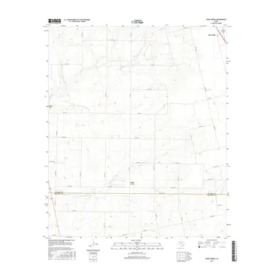
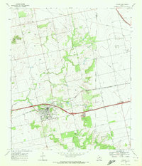
2016 Map of China Grove
USGS Topo · Published 2016About this map
China Grove sits near the heart of this West Texas landscape, where the rolling plains of Scurry County meet the northern edge of Mitchell County. The area is defined by a dendritic drainage network, with Little Sulphur Cr and Sulphur Cr carving gentle valleys through the terrain. To the northeast, the settlement of Hermleigh appears near the junction of several county roads and FM 644, serving as a local hub for the surrounding ranching and agricultural lands. The map reveals a highly structured grid of rural infrastructure, including E FM 1606 and dozens of numbered county roads that provide access to the remote draws and creek beds like Wildcat Draw and Dry Run. This network of roads and waterways illustrates the late 20th-century land use patterns in this part of the Permian Basin region, showing how the landscape is divided between natural watercourses and human-engineered boundaries.
Find a feature on this map
42 named features on this map. Tap any name to fly to it.
Don’t see what you’re looking for? This feature index may not catch every label — zoom into the map to look around manually.
Map Details
Editions of this 2016 China Grove Map
This is the sole edition of this map. No revisions or reprints were ever made.
Other maps of this area
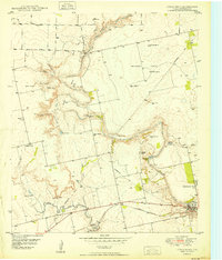
1950 · Cedar Bend
USGS Topo · 1:24,000
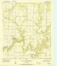
1951 · Dunn
USGS Topo · 1:24,000
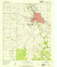
1952 · Snyder
USGS Topo · 1:24,000
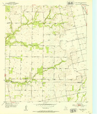
1952 · China Grove
USGS Topo · 1:24,000
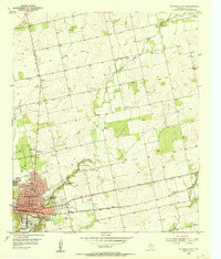
1952 · Colorado City
USGS Topo · 1:24,000
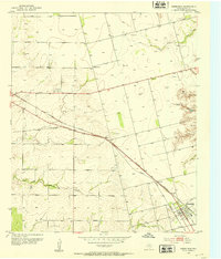
1952 · Hermleigh
USGS Topo · 1:24,000

1954 · Big Spring
USGS Topo · 1:250,000

1958 · Big Spring
USGS Topo · 1:250,000
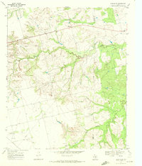
1969 · Inadale NW
USGS Topo · 1:24,000
1969 · Loraine
USGS Topo · 1:24,000