
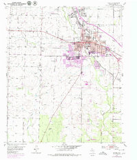
1952 Map of Snyder
USGS Topo · Published 1953About this map
Snyder serves as the focal point of this 1952 study, revealing a bustling West Texas community defined by its educational infrastructure and energy-sector activity. The town layout is dense with specialized facilities, including Central Sch, Jr High Sch, and a dedicated Hospital. Beyond the residential blocks, the landscape is punctuated by numerous Oil Tanks and Oil Well sites, signaling the mid-century petroleum boom that shaped Scurry County.
Find a feature on this map
27 named features on this map. Tap any name to fly to it.
Don’t see what you’re looking for? This feature index may not catch every label — zoom into the map to look around manually.
Map Details
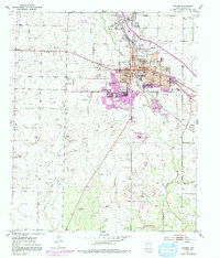
Editions of this 1952 Snyder Map
3 editions found
Other maps of this area

1951 · Ira
USGS Topo · 1:24,000

1951 · Dunn
USGS Topo · 1:24,000

1952 · China Grove
USGS Topo · 1:24,000

1952 · Ira NE
USGS Topo · 1:24,000

1952 · Hermleigh
USGS Topo · 1:24,000

1954 · Lloyd Mountain
USGS Topo · 1:24,000

1954 · Dermott
USGS Topo · 1:24,000

1954 · Brand
USGS Topo · 1:24,000

1954 · Big Spring
USGS Topo · 1:250,000

1958 · Big Spring
USGS Topo · 1:250,000