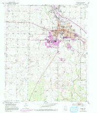
1952 Map of Snyder
USGS Topo · Published 1991About this map
Snyder sits at the confluence of several watercourses, where the South Fork and Deep Creek meet in this West Texas landscape. The 1952 topography, updated with 1970s aerial revisions, shows the town's expansion into industrial and residential sectors, anchored by a cluster of educational institutions like Northwestern Sch and Western Texas College. Beyond the urban grid, the terrain transitions into a more rugged character, notably at the sharply named Hell and Roaring Hollow. The surrounding countryside is dotted with oil tanks and numerous windmills, reflecting the dual economy of petroleum and ranching. Local aviation is centered at Winston Field, while the community's history is preserved at Snyder Cem on the northern edge of town. The map effectively captures the shift from a traditional cattle town to a modern regional center defined by energy production and higher education.
Find a feature on this map
22 named features on this map. Tap any name to fly to it.
Don’t see what you’re looking for? This feature index may not catch every label — zoom into the map to look around manually.
Map Details
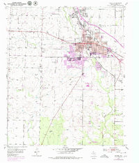
Editions of this 1952 Snyder Map
3 editions found
Other maps of this area

1951 · Ira
USGS Topo · 1:24,000

1951 · Dunn
USGS Topo · 1:24,000

1952 · Snyder
USGS Topo · 1:24,000

1952 · China Grove
USGS Topo · 1:24,000

1952 · Ira NE
USGS Topo · 1:24,000

1952 · Hermleigh
USGS Topo · 1:24,000

1954 · Lloyd Mountain
USGS Topo · 1:24,000

1954 · Dermott
USGS Topo · 1:24,000

1954 · Brand
USGS Topo · 1:24,000

1954 · Big Spring
USGS Topo · 1:250,000