Old Maps of Snyder, Texas
Explore 21 old maps of Snyder, spanning from 1952 to today. These high-resolution historic maps reveal how streets, neighborhoods, landmarks, and natural features evolved over time — perfect for genealogy, metal detecting, research, and local history exploration.
What you can do with these maps:
- See how Snyder changed over time: Compare historical maps to modern-day views to trace roads, homesites, rail lines & more.
- View detailed metadata: Each map includes creators, publishers, year, scale, and archive source.
- Overlay maps with satellite & LiDAR: Visualize the past alongside modern tools to explore terrain & human change.
- Trusted historical sources: Maps sourced from the USGS, Library of Congress, and other archives.
- Access maps your way: View online, download high-res files, or order prints for personal or research use.
Start exploring old maps of Snyder to uncover forgotten places, hidden landmarks, and the deep history beneath your feet.
Snyder, TX maps
(21)- 1952 Map of Snyder, 1953 Print
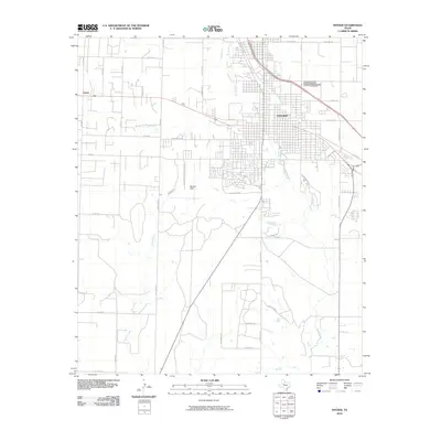
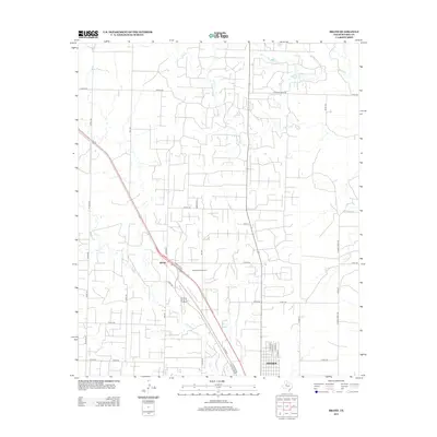
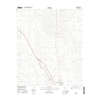
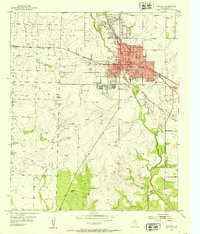 1952 Snyder1953 Print · USGSSnyder is shown during its mid-century period of growth, when the petroleum and rail industries shaped this West Texas landscape. Genealogists and researchers can trace the locations of Snyder Cem, Winston Field, and schools like Northwest Sch and Lincoln Sch.3 unique versions available
 - 1952 Map of Hermleigh, 1953 Print
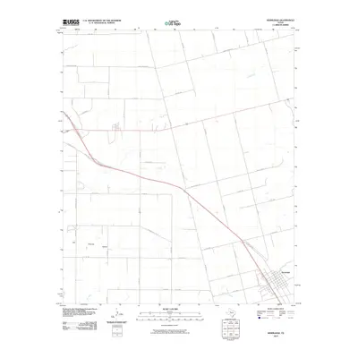
 1952 Hermleigh1953 Print · USGSHermleigh thrived as a vital rail junction in the early fifties, sitting at the crossroads of two major West Texas lines. Genealogists and researchers can trace the local landscape through the Plainview Sch, the townsite of Hermleigh, and the winding path of Hell Roaring Hollow.2 unique versions available
 - 1954 Map of Brand, 1956 Print
 1954 Brand1956 Print · USGSScurry County's energy landscape is captured mid-century as petroleum infrastructure expands around the Panhandle and Santa Fe rail line. Genealogists and historians can trace the development of Brand and the vast Kelly Snyder Field.2 unique versions available
 - 1954 Map of Big Spring, 1965 Print
 1954 Big Spring1965 Print · USGSWest Texas in the mid-1950s shows a landscape of growing oil towns and vital rail links along the Texas and Pacific RR. Researchers can trace the development of Big Spring, find smaller settlements like Knott and Lomax, or locate landmarks such as Boyds Chapel and Signal Mountain.4 unique versions available
 - 1958 Map of Big Spring
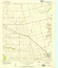
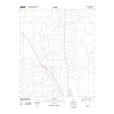
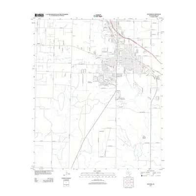
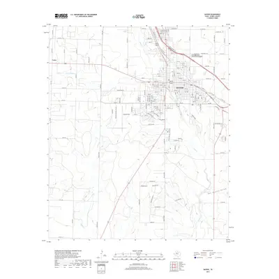
 1958 Big Spring1958 Print · USGSThe West Texas oil boom was in full swing during the late fifties, transforming the landscape around Howard and Mitchell counties. Genealogists and historians can trace the growth of Big Spring and Snyder alongside industrial landmarks like the Kelly-Snyder Oil Field and the Santa Fe rail lines.
 - 1985 Map of Snyder
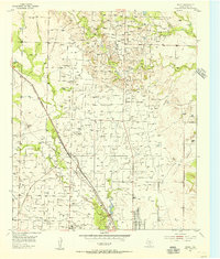
 1985 Snyder1985 Print · USGSMid-1980s Scurry and Fisher Counties are captured here as a landscape of rail-driven commerce and river-bottom agriculture. Researchers can trace the pathways of the Missouri Pacific railroad or locate family-named landmarks like Mc Caulley and Hermleigh.2 unique versions available
 - 2010 Map of Brand, 2010 Print
 2010 Brand2010 Print · USGSCovers Snyder, including Brand, Scurry County, and other nearby areas
 - 2010 Map of Snyder, 2010 Print
 2010 Snyder2010 Print · USGSCovers Snyder, including Union, Scurry County, and other nearby areas
 - 2010 Map of Hermleigh, 2010 Print
 2010 Hermleigh2010 Print · USGSCovers Snyder, including Hermleigh, Scurry County, and other nearby areas
 - 2012 Map of Brand, 2012 Print
 2012 Brand2012 Print · USGSCovers Snyder, including Brand, Scurry County, and other nearby areas
 - 2012 Map of Snyder, 2012 Print
 2012 Snyder2012 Print · USGSCovers Snyder, including Union, Scurry County, and other nearby areas
 - 2012 Map of Hermleigh, 2012 Print
 2012 Hermleigh2012 Print · USGSCovers Snyder, including Hermleigh, Scurry County, and other nearby areas
 - 2016 Map of Brand, 2016 Print
 2016 Brand2016 Print · USGSCovers Snyder, including Brand, Scurry County, and other nearby areas
 - 2016 Map of Hermleigh, 2016 Print
 2016 Hermleigh2016 Print · USGSCovers Snyder, including Hermleigh, Scurry County, and other nearby areas
 - 2016 Map of Snyder, 2016 Print
 2016 Snyder2016 Print · USGSCovers Snyder, including Union, Scurry County, and other nearby areas
 - 2019 Map of Hermleigh, 2019 Print
 2019 Hermleigh2019 Print · USGSCovers Snyder, including Hermleigh, Scurry County, and other nearby areas
 - 2019 Map of Snyder, 2019 Print
 2019 Snyder2019 Print · USGSCovers Snyder, including Union, Scurry County, and other nearby areas
 - 2019 Map of Brand, 2019 Print
 2019 Brand2019 Print · USGSCovers Snyder, including Brand, Scurry County, and other nearby areas
 - 2022 Map of Brand, 2022 Print
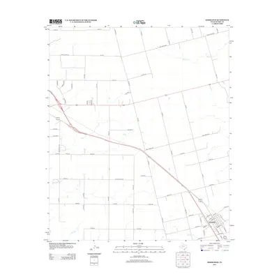
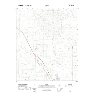
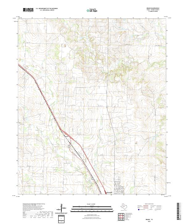 2022 Brand2022 Print · USGSThe northern reaches of Snyder and the community of Brand are captured in this contemporary survey of Scurry County. Genealogists and historians can trace local land use across Deep Cr or locate family properties along Hayes Ranch Rd and Kings Highway Pl.
 - 2022 Map of Hermleigh, 2022 Print
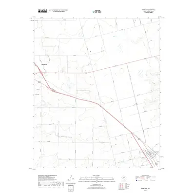
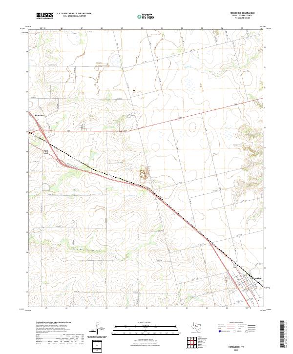 2022 Hermleigh2022 Print · USGSScurry County ranch lands and rural settlements are documented here as they appeared in the early 2020s. Genealogists can trace the residential layout of Hermleigh and the outskirts of Snyder, while exploring family-named landmarks like Ryon Ranch Rd and the seasonal waters of Sulphur Creek.
 - 2022 Map of Snyder, 2022 Print
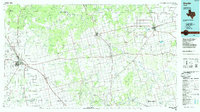
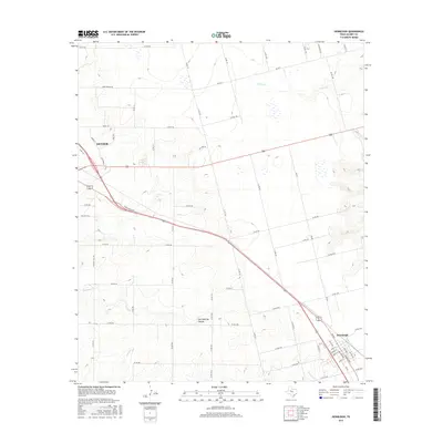
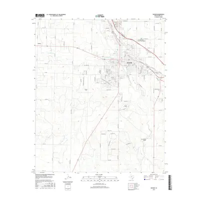
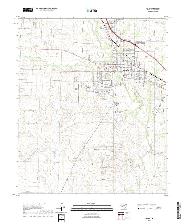 2022 Snyder2022 Print · USGSSnyder and the surrounding Scurry County plains are documented here in the early 2020s as the regional hub continues its modern growth. Genealogists and local historians can trace family sites at the Old Snyder Graveyard, Townsend Cem, and the Scurry County Courthouse.
End of results
Showing maps 1-21 of 21
Top cities near Snyder
Frequently asked questions
- What are the different types of historical maps available for Snyder?
- What is the oldest map of Snyder?
- Where can I purchase historical maps of Snyder for my home or office?
- Where can I download high-res historical maps of Snyder?
- Are there historical topographic maps available for Snyder?
- Is there historical aerial imagery available for Snyder?
- Where are historical maps of Snyder sourced from?