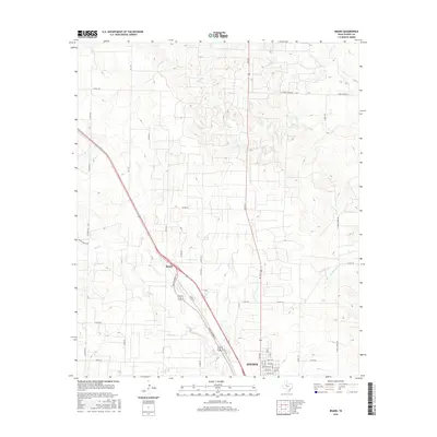
2016 Map of Brand
USGS Topo · Published 2016About this map
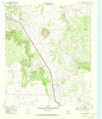
Snyder sits at the southern edge of this West Texas landscape, where the northern residential and industrial streets meet the open ranchlands of Scurry County. The settlement of Brand marks a significant junction to the northwest, situated along the diagonal corridor of the Kings Highway Pl. This area is defined by its drainage systems, with the winding paths of Deep Creek and Ennis Creek cutting through the terrain. The map captures the organized grid of county roads, such as Hayes Ranch Rd and W Ennis Creek Rd, which provide access to the rural homesteads and agricultural operations north of the city center. These thoroughfares and watercourses dictate the layout of the land, reflecting the persistent rural character of the region even as the footprint of the city expands toward the north.
Find a feature on this map
35 named features on this map. Tap any name to fly to it.
Don’t see what you’re looking for? This feature index may not catch every label — zoom into the map to look around manually.
Map Details
Editions of this 2016 Brand Map
This is the sole edition of this map. No revisions or reprints were ever made.
Other maps of this area
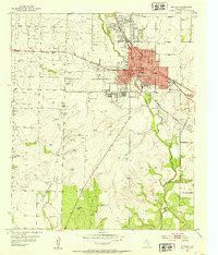
1952 · Snyder
USGS Topo · 1:24,000
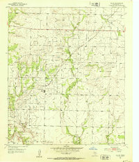
1952 · Ira NE
USGS Topo · 1:24,000
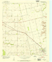
1952 · Hermleigh
USGS Topo · 1:24,000
1954 · Lloyd Mountain
USGS Topo · 1:24,000
1954 · Dermott
USGS Topo · 1:24,000
1954 · Brand
USGS Topo · 1:24,000

1954 · Big Spring
USGS Topo · 1:250,000

1958 · Big Spring
USGS Topo · 1:250,000
1969 · Maverick Creek
USGS Topo · 1:24,000
1969 · Flat Top Mountain
USGS Topo · 1:24,000