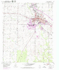
1952 Map of Snyder
USGS Topo · Published 1980About this map
Snyder sits at a major crossroads of West Texas rail and energy, where the Panhandle and Santa Fe and Roscoe Snyder and Pacific railroads intersect. This 1952 survey, updated with late-1970s aerial data, reveals the town's expansion and its deep ties to the regional oil economy. Numerous oil tanks, oil wells, and a network of pipelines lace the landscape, particularly around South Fork Deep Creek and Canyon Creek.
Find a feature on this map
35 named features on this map. Tap any name to fly to it.
Don’t see what you’re looking for? This feature index may not catch every label — zoom into the map to look around manually.
Map Details
Editions of this 1952 Snyder Map
3 editions found
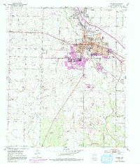
Other maps of this area

1951 · Ira
USGS Topo · 1:24,000

1951 · Dunn
USGS Topo · 1:24,000

1952 · Snyder
USGS Topo · 1:24,000

1952 · China Grove
USGS Topo · 1:24,000

1952 · Ira NE
USGS Topo · 1:24,000

1952 · Hermleigh
USGS Topo · 1:24,000

1954 · Lloyd Mountain
USGS Topo · 1:24,000

1954 · Dermott
USGS Topo · 1:24,000

1954 · Brand
USGS Topo · 1:24,000

1954 · Big Spring
USGS Topo · 1:250,000