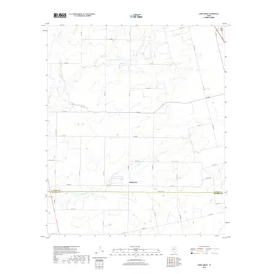
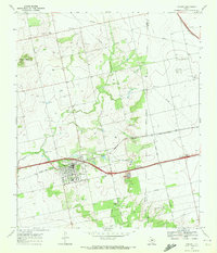
2019 Map of China Grove
USGS Topo · Published 2019About this map
China Grove sits at the center of this rural landscape, marking a quiet point of settlement where the West Texas plains begin to break into complex drainage systems. The geography is defined by a network of seasonal watercourses, including the westward flow of Sulphur Cr and the winding path of Little Sulphur Cr. These natural draws, along with Wildcat Draw and Dry Run, illustrate the erratic hydrology of the region, where water only moves during significant rain events, carving the terrain into subtle valleys.
Find a feature on this map
40 named features on this map. Tap any name to fly to it.
Don’t see what you’re looking for? This feature index may not catch every label — zoom into the map to look around manually.
Map Details
Editions of this 2019 China Grove Map
This is the sole edition of this map. No revisions or reprints were ever made.
Other maps of this area
1950 · Cedar Bend
USGS Topo · 1:24,000
1951 · Dunn
USGS Topo · 1:24,000
1952 · Snyder
USGS Topo · 1:24,000
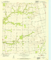
1952 · China Grove
USGS Topo · 1:24,000
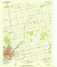
1952 · Colorado City
USGS Topo · 1:24,000
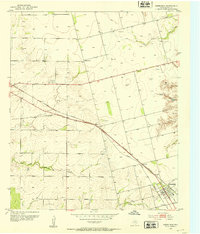
1952 · Hermleigh
USGS Topo · 1:24,000

1954 · Big Spring
USGS Topo · 1:250,000

1958 · Big Spring
USGS Topo · 1:250,000
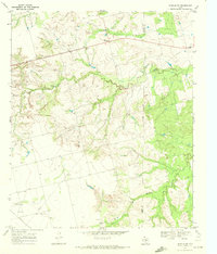
1969 · Inadale NW
USGS Topo · 1:24,000
1969 · Loraine
USGS Topo · 1:24,000