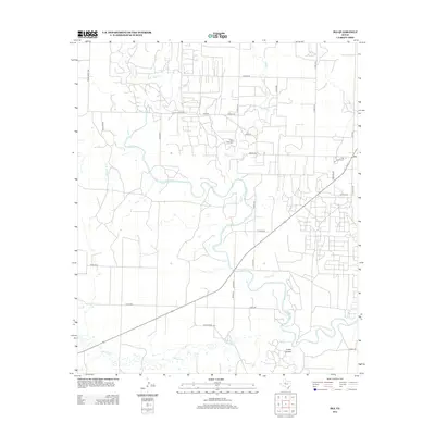
2012 Map of Ira
USGS Topo · Published 2012About this map
Ira serves as a central hub for this portion of Scurry County, where the agricultural landscape meets the winding course of the Colorado River. The river bisects the terrain from northwest to southeast, joined by several seasonal watercourses including Bull Cr, Bluff Cr, and Willow Cr. Local history is anchored at the Bluff Creek Cem, situated just north of the river bend, while the community of Ira is defined by a grid of rural routes like Ira School Rd and FM 1609. The southern reaches are marked by the distinct topography of Cedar Canyon, illustrating the varied West Texas environment before the landscape transitions toward more industrial uses outside this quadrangle. This 2012 survey shows a region deeply connected by its road network, from Ranch Road 1229 to numerous county roads that link outlying ranch lands to the town center.
Find a feature on this map
35 named features on this map. Tap any name to fly to it.
Don’t see what you’re looking for? This feature index may not catch every label — zoom into the map to look around manually.
Map Details
Editions of this 2012 Ira Map
This is the sole edition of this map. No revisions or reprints were ever made.
Other maps of this area

1950 · Cedar Bend
USGS Topo · 1:24,000

1951 · Ira SW
USGS Topo · 1:24,000

1951 · Ira
USGS Topo · 1:24,000

1951 · Dunn
USGS Topo · 1:24,000

1951 · Ira NW
USGS Topo · 1:24,000

1951 · Vincent
USGS Topo · 1:24,000

1952 · Cuthbert
USGS Topo · 1:24,000

1952 · Snyder
USGS Topo · 1:24,000

1952 · Ira NE
USGS Topo · 1:24,000

1954 · Big Spring
USGS Topo · 1:250,000