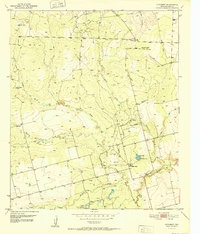
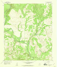
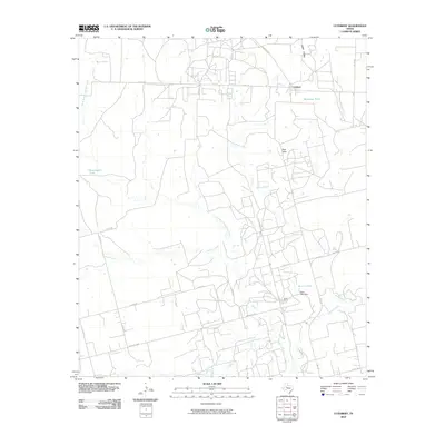
1952 Map of Cuthbert
USGS Topo · Published 1952About this map
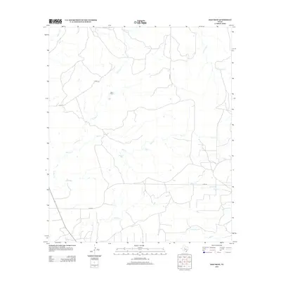
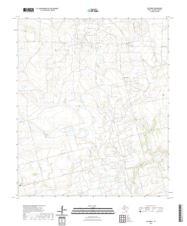
Cuthbert and the surrounding plains of Mitchell County are defined by a mid-century energy boom, as indicated by the extensive Oil Field developments and scattered Oil Wells throughout the landscape. The terrain transitions from the broken drainage of Cedar Canyon and the Red Hills in the north toward the meandering paths of Morgan Creek and Hasting Creek to the south. Local water management is central to life in this arid environment, evidenced by livestock-watering structures like Bozeman Tank, Bert Tank, and Bombsight Tank. Educational and community hubs are represented by the Carr Sch and the industrial outpost at Butler Camp. This survey captures the region just as technological infrastructure, including numerous windmills and a complex network of private roads, was being established to support both ranching and petroleum extraction.
Find a feature on this map
22 named features on this map. Tap any name to fly to it.
Don’t see what you’re looking for? This feature index may not catch every label — zoom into the map to look around manually.
Map Details
Editions of this 1952 Cuthbert Map
This is the sole edition of this map. No revisions or reprints were ever made.
Historical Maps of Cuthbert Through Time
48 maps found
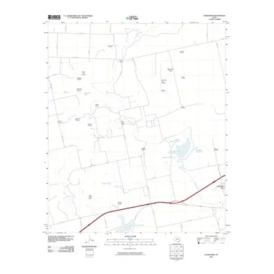
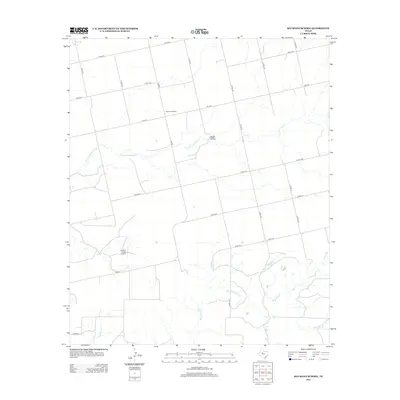
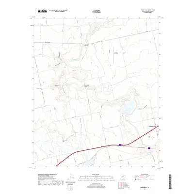
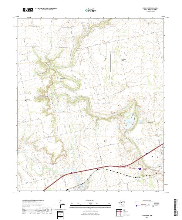
1950 Cedar Bend
Mitchell County, TX
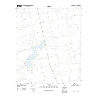
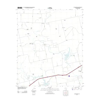
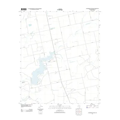
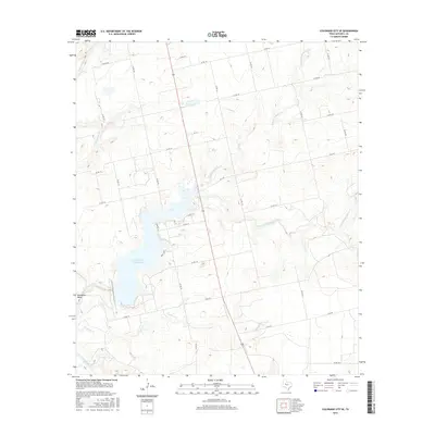
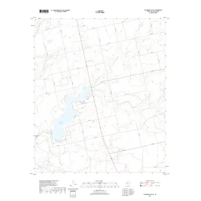
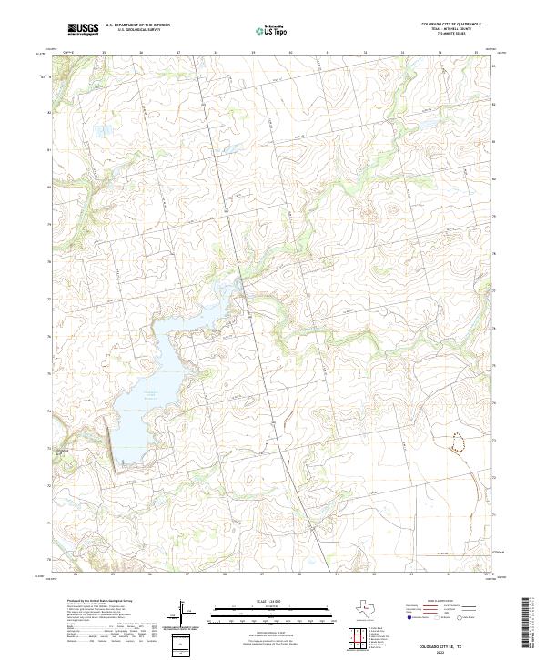
1950 Colorado City SE
Mitchell County, TX
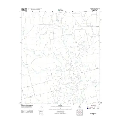
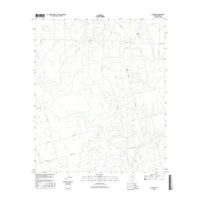
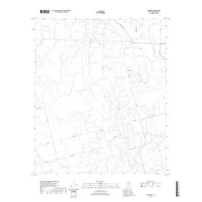
1952 Cuthbert
Mitchell County, TX
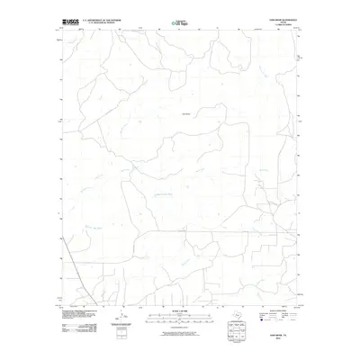
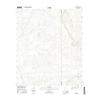
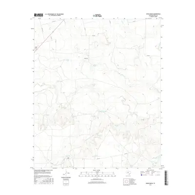
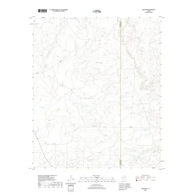
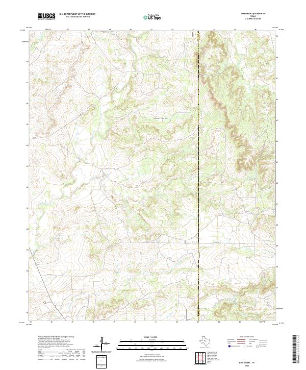
1959 Dam Draw
Mitchell County, TX
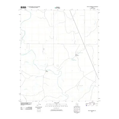
1959 Pecan Crossing
Mitchell County, TX
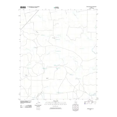
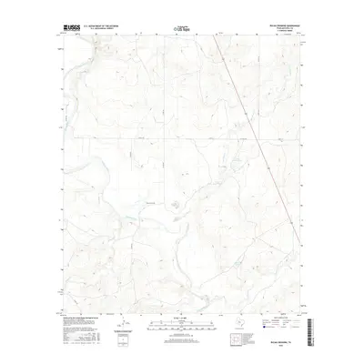
1959 Spade Ranch
Mitchell County, TX
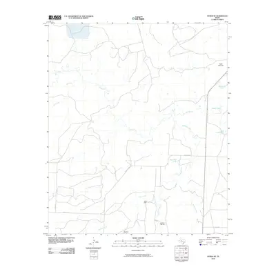
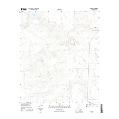
1962 Hyman NE
Mitchell County, TX
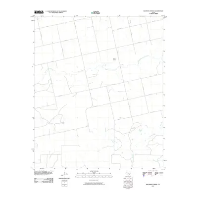
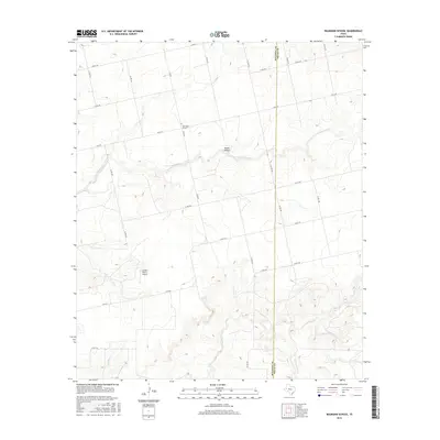
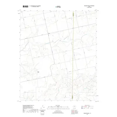
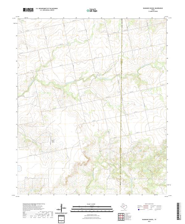
1969 Baumann School
Mitchell County, TX
2010 Baumann School
Mitchell County, TX
2010 Cedar Bend
Mitchell County, TX
2010 Colorado City SE
Mitchell County, TX
2010 Cuthbert
Mitchell County, TX
2010 Dam Draw
Mitchell County, TX
2010 Hyman NE
Mitchell County, TX
2010 Pecan Crossing
Mitchell County, TX
2010 Spade Ranch
Mitchell County, TX
2012 Baumann School
Mitchell County, TX
2012 Cedar Bend
Mitchell County, TX
2012 Colorado City SE
Mitchell County, TX
2012 Cuthbert
Mitchell County, TX
2012 Dam Draw
Mitchell County, TX
2012 Hyman NE
Mitchell County, TX
2012 Pecan Crossing
Mitchell County, TX
2012 Spade Ranch
Mitchell County, TX
2016 Baumann School
Mitchell County, TX

2016 Cedar Bend
Mitchell County, TX
2016 Colorado City SE
Mitchell County, TX
2016 Cuthbert
Mitchell County, TX
2016 Dam Draw
Mitchell County, TX
2016 Hyman NE
Mitchell County, TX
2016 Pecan Crossing
Mitchell County, TX
2016 Spade Ranch
Mitchell County, TX
2019 Baumann School
Mitchell County, TX
2019 Cedar Bend
Mitchell County, TX
2019 Colorado City SE
Mitchell County, TX
2019 Cuthbert
Mitchell County, TX
2019 Dam Draw
Mitchell County, TX
2019 Hyman NE
Mitchell County, TX
2019 Pecan Crossing
Mitchell County, TX
2019 Spade Ranch
Mitchell County, TX
2022 Baumann School
Mitchell County, TX
2022 Cedar Bend
Mitchell County, TX
2022 Colorado City SE
Mitchell County, TX
2022 Cuthbert
Mitchell County, TX
2022 Dam Draw
Mitchell County, TX
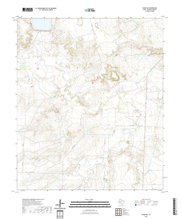
2022 Hyman NE
Mitchell County, TX
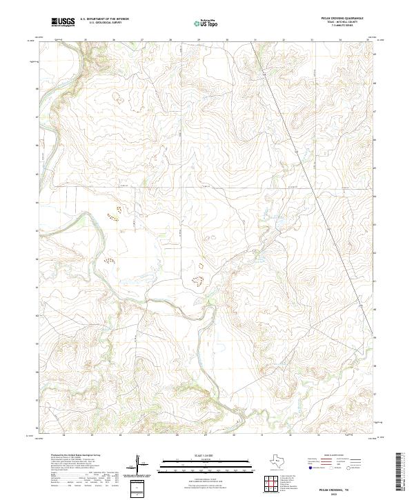
2022 Pecan Crossing
Mitchell County, TX
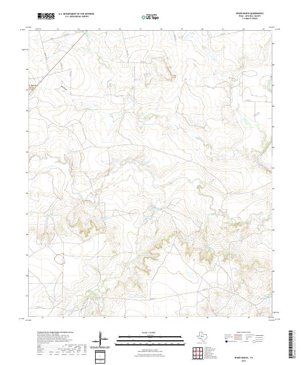
2022 Spade Ranch
Mitchell County, TX