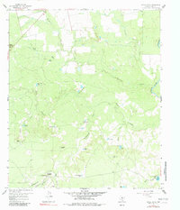
1959 Map of Spade Ranch
USGS Topo · Published 1981About this map
The Spade Ranch (Headquarters) serves as the focal point for this section of Mitchell County, documented during a 1959 field check. This ranching landscape is defined by an intricate network of water management features, including Wildcat Tank, Geneva Tank, and the Hollywood Tank, which are essential for livestock in this semi-arid region. The drainage systems of Wildhorse Creek and Beals Creek converge toward the Colorado River at the eastern edge of the quadrangle.
Find a feature on this map
32 named features on this map. Tap any name to fly to it.
Don’t see what you’re looking for? This feature index may not catch every label — zoom into the map to look around manually.
Map Details
Editions of this 1959 Spade Ranch Map
2 editions found
Other maps of this area

1950 · Lake Colorado City
USGS Topo · 1:24,000

1950 · Colorado City SE
USGS Topo · 1:24,000

1952 · Westbrook
USGS Topo · 1:24,000

1954 · Big Spring
USGS Topo · 1:250,000

1958 · Big Spring
USGS Topo · 1:250,000

1959 · Pecan Crossing
USGS Topo · 1:24,000

1959 · Spade Ranch
USGS Topo · 1:24,000

1959 · McWhorter Mountain
USGS Topo · 1:24,000

1959 · Dead Indian Mountain
USGS Topo · 1:24,000

1962 · Hyman NE
USGS Topo · 1:24,000